26 Fernwood Ave Roseland, NJ 07068
Estimated Value: $582,000 - $678,000
--
Bed
--
Bath
1,444
Sq Ft
$439/Sq Ft
Est. Value
About This Home
This home is located at 26 Fernwood Ave, Roseland, NJ 07068 and is currently estimated at $633,345, approximately $438 per square foot. 26 Fernwood Ave is a home located in Essex County with nearby schools including Lester C. Noecker Elementary School, West Essex Middle School, and West Essex High School.
Ownership History
Date
Name
Owned For
Owner Type
Purchase Details
Closed on
Jul 21, 2011
Sold by
Fout Lillian C
Bought by
Zhang Xiaotong and Yan Ling
Current Estimated Value
Home Financials for this Owner
Home Financials are based on the most recent Mortgage that was taken out on this home.
Original Mortgage
$252,000
Outstanding Balance
$163,761
Interest Rate
3.37%
Mortgage Type
Adjustable Rate Mortgage/ARM
Estimated Equity
$469,584
Purchase Details
Closed on
Jun 20, 1996
Sold by
Penn Fed Savings
Bought by
Fout Lillian C
Home Financials for this Owner
Home Financials are based on the most recent Mortgage that was taken out on this home.
Original Mortgage
$224,000
Interest Rate
8.24%
Create a Home Valuation Report for This Property
The Home Valuation Report is an in-depth analysis detailing your home's value as well as a comparison with similar homes in the area
Home Values in the Area
Average Home Value in this Area
Purchase History
| Date | Buyer | Sale Price | Title Company |
|---|---|---|---|
| Zhang Xiaotong | $315,000 | None Available | |
| Fout Lillian C | $356,000 | -- |
Source: Public Records
Mortgage History
| Date | Status | Borrower | Loan Amount |
|---|---|---|---|
| Open | Zhang Xiaotong | $252,000 | |
| Previous Owner | Fout Lillian C | $224,000 |
Source: Public Records
Tax History Compared to Growth
Tax History
| Year | Tax Paid | Tax Assessment Tax Assessment Total Assessment is a certain percentage of the fair market value that is determined by local assessors to be the total taxable value of land and additions on the property. | Land | Improvement |
|---|---|---|---|---|
| 2025 | $7,545 | $481,600 | $307,000 | $174,600 |
| 2024 | $7,545 | $481,600 | $307,000 | $174,600 |
| 2022 | $7,610 | $325,900 | $253,700 | $72,200 |
| 2021 | $7,505 | $325,900 | $253,700 | $72,200 |
| 2020 | $7,479 | $325,900 | $253,700 | $72,200 |
| 2019 | $7,411 | $325,900 | $253,700 | $72,200 |
| 2018 | $7,346 | $325,900 | $253,700 | $72,200 |
| 2017 | $7,343 | $325,900 | $253,700 | $72,200 |
| 2016 | $7,228 | $325,900 | $253,700 | $72,200 |
| 2015 | $7,245 | $325,900 | $253,700 | $72,200 |
| 2014 | $7,043 | $325,900 | $253,700 | $72,200 |
Source: Public Records
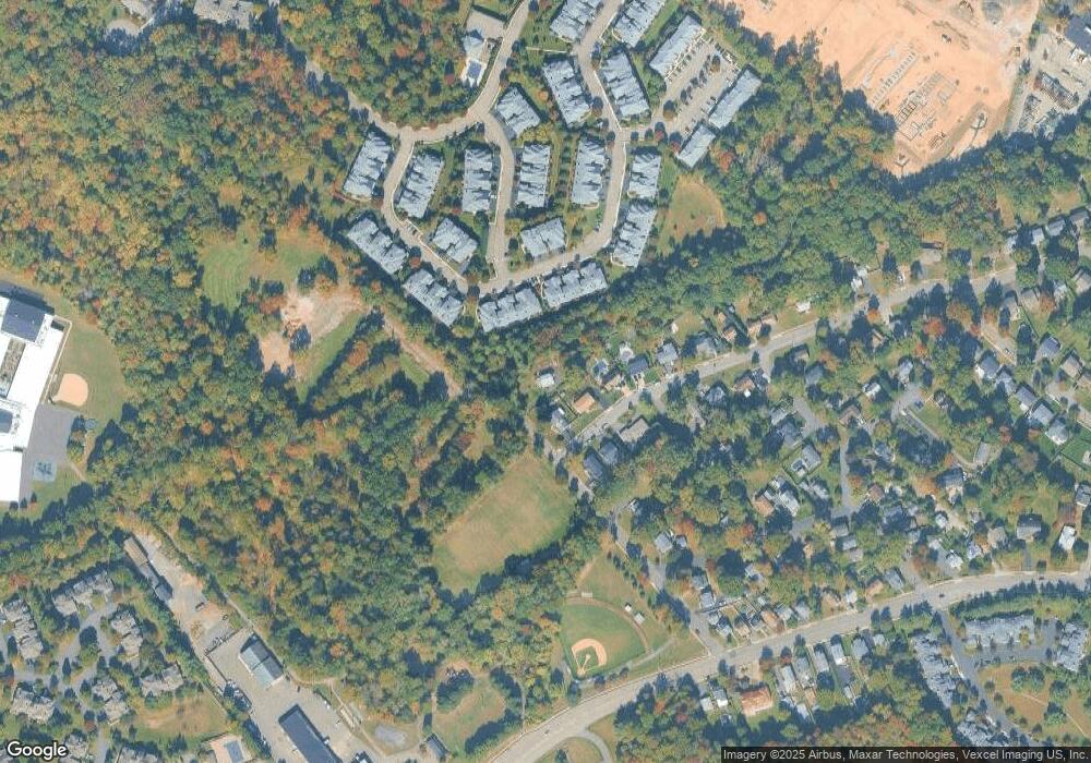
Map
Nearby Homes
- 39 Schweinberg Dr Unit 2039
- 39 Schweinberg Dr
- 30 Schweinberg Dr
- 192 Eagle Rock Ave
- 4 Williamsburg Dr
- 88 Kent Dr Unit C0176
- 18 Harkey Ct Unit 63
- 18 Harkey Ct Unit C0063
- 144 Passaic Ave
- 26 Bovensiepen Ct
- 26 Bovensiepen Ct Unit 3526
- 178 Passaic Ave
- 34 Lincoln St
- 6 Mulford Ct Unit Address 6
- 6 Mulford Ct Unit C0013
- 58 Leonard Terrace
- 20 Lenape Dr
- 201 Eagle Rock Ave
- 37 Dalewood Rd
- 194 Eagle Rock Ave
- 24 Fernwood Ave
- 64 Davenport Ave
- 62 Davenport Ave
- 65 Davenport Ave
- 63 Schweinberg Dr
- 65 Schweinberg Dr
- 67 Schweinberg Dr Unit 67
- 69 Schweinberg Dr
- 61 Schweinberg Dr
- 59 Schweinberg Dr
- 58 Davenport Ave
- 57 Schweinberg Dr
- 63 Davenport Ave
- 55 Schweinberg Dr
- 53 Schweinberg Dr
- 71 Schweinberg Dr
- 51 Schweinberg Dr
- 73 Schweinberg Dr
- 49 Schweinberg Dr
- 56 Davenport Ave