26 Fieldstone Farm Rd Sudbury, MA 01776
Estimated Value: $2,008,000 - $2,491,000
4
Beds
6
Baths
4,608
Sq Ft
$483/Sq Ft
Est. Value
About This Home
This home is located at 26 Fieldstone Farm Rd, Sudbury, MA 01776 and is currently estimated at $2,225,363, approximately $482 per square foot. 26 Fieldstone Farm Rd is a home located in Middlesex County with nearby schools including Peter Noyes Elementary School, Ephraim Curtis Middle School, and Lincoln-Sudbury Regional High School.
Ownership History
Date
Name
Owned For
Owner Type
Purchase Details
Closed on
Mar 4, 2004
Sold by
Fieldstone Farms Lot 2 and Ring
Bought by
Shaw Andrea M and Shaw Michael N
Current Estimated Value
Home Financials for this Owner
Home Financials are based on the most recent Mortgage that was taken out on this home.
Original Mortgage
$637,000
Outstanding Balance
$294,387
Interest Rate
5.62%
Mortgage Type
Purchase Money Mortgage
Estimated Equity
$1,930,976
Create a Home Valuation Report for This Property
The Home Valuation Report is an in-depth analysis detailing your home's value as well as a comparison with similar homes in the area
Home Values in the Area
Average Home Value in this Area
Purchase History
| Date | Buyer | Sale Price | Title Company |
|---|---|---|---|
| Shaw Andrea M | -- | -- | |
| Shaw Andrea M | -- | -- | |
| Shaw Andrea M | -- | -- |
Source: Public Records
Mortgage History
| Date | Status | Borrower | Loan Amount |
|---|---|---|---|
| Open | Shaw Andrea M | $637,000 | |
| Closed | Shaw Andrea M | $637,000 |
Source: Public Records
Tax History Compared to Growth
Tax History
| Year | Tax Paid | Tax Assessment Tax Assessment Total Assessment is a certain percentage of the fair market value that is determined by local assessors to be the total taxable value of land and additions on the property. | Land | Improvement |
|---|---|---|---|---|
| 2025 | $29,728 | $2,030,600 | $708,000 | $1,322,600 |
| 2024 | $28,611 | $1,958,300 | $687,600 | $1,270,700 |
| 2023 | $27,238 | $1,727,200 | $661,200 | $1,066,000 |
| 2022 | $26,024 | $1,441,800 | $561,200 | $880,600 |
| 2021 | $25,338 | $1,345,600 | $561,200 | $784,400 |
| 2020 | $25,852 | $1,401,200 | $616,800 | $784,400 |
| 2019 | $25,095 | $1,401,200 | $616,800 | $784,400 |
| 2018 | $22,882 | $1,276,200 | $521,200 | $755,000 |
| 2017 | $21,877 | $1,233,200 | $485,200 | $748,000 |
| 2016 | $20,878 | $1,172,900 | $466,400 | $706,500 |
| 2015 | $20,240 | $1,150,000 | $457,200 | $692,800 |
| 2014 | $20,248 | $1,123,000 | $444,000 | $679,000 |
Source: Public Records
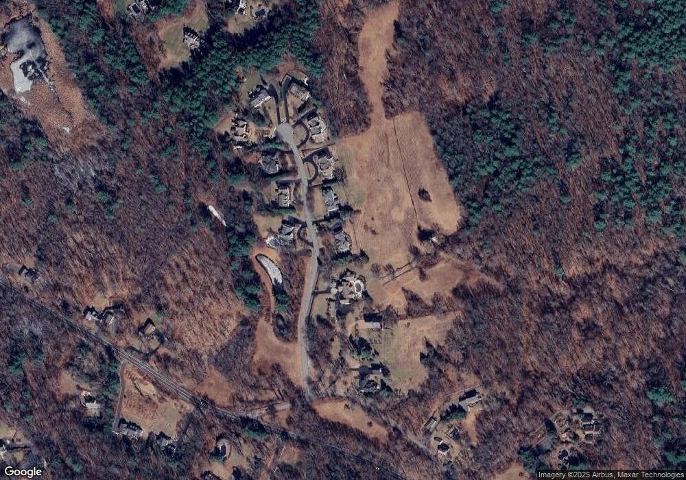
Map
Nearby Homes
- 427 Concord Rd
- 94 Goodmans Hill Rd
- 270 Old Lancaster Rd
- 6 Old County Rd Unit 16
- 36 Concord Rd
- 23 Massasoit Ave
- 24 Goodnow Rd
- 63 Canterbury Dr
- 216 Landham Rd
- 1011 Boston Post Rd
- 89 Bridle Path
- 36 Old Forge Ln
- 17 Glezen Ln
- 14 Frost Ln
- 941 Concord Rd
- Lot 5 Sailaway Ln
- 45 N Crescent Cir
- Lot 4 Sailaway Ln
- 2 Betts Way
- 8 Mina Way
- 32 Fieldstone Farm Rd
- 18 Fieldstone Farm Rd
- 27 Fieldstone Farm Rd
- 38 Fieldstone Farm Rd
- 30 Rice Rd
- 41 Fieldstone Farm Rd
- 44 Fieldstone Farm Rd
- 45 Fieldstone Farm Rd
- 208 Old Sudbury Rd
- 49 Fieldstone Farm Rd
- 22 Rice Rd
- 16 Rice Rd
- 45 Candy Hill Ln
- 218 Old Sudbury Rd
- 42 Candy Hill Ln
- 187 Old Sudbury Rd
- 197 Old Sudbury Rd
- 209 Old Sudbury Rd
- 145 Old Sudbury Rd
- 173 Old Sudbury Rd