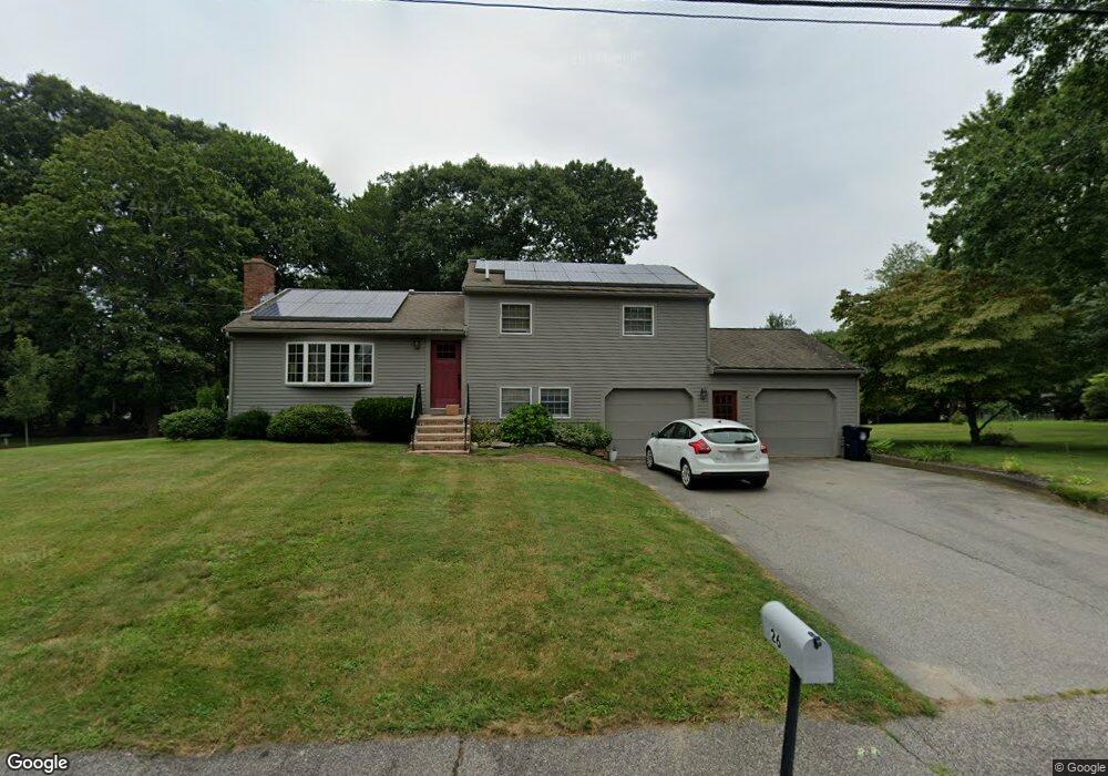
26 Fitzgerald Rd Marlborough, MA 01752
Estimated Value: $596,000 - $631,000
4
Beds
2
Baths
1,150
Sq Ft
$532/Sq Ft
Est. Value
About This Home
This home is located at 26 Fitzgerald Rd, Marlborough, MA 01752 and is currently estimated at $611,310, approximately $531 per square foot. 26 Fitzgerald Rd is a home located in Middlesex County with nearby schools including Marlborough High School, Advanced Math & Science Academy, and New Covenant Christian School.
Ownership History
Date
Name
Owned For
Owner Type
Purchase Details
Closed on
Dec 30, 1998
Sold by
Millman Rt and Millman Harry A
Bought by
Wood-Mayfield Maureen and Mayfield Craig R
Current Estimated Value
Home Financials for this Owner
Home Financials are based on the most recent Mortgage that was taken out on this home.
Original Mortgage
$157,500
Interest Rate
6.84%
Mortgage Type
Purchase Money Mortgage
Create a Home Valuation Report for This Property
The Home Valuation Report is an in-depth analysis detailing your home's value as well as a comparison with similar homes in the area
Home Values in the Area
Average Home Value in this Area
Purchase History
| Date | Buyer | Sale Price | Title Company |
|---|---|---|---|
| Wood-Mayfield Maureen | $175,000 | -- |
Source: Public Records
Mortgage History
| Date | Status | Borrower | Loan Amount |
|---|---|---|---|
| Open | Wood-Mayfield Maureen | $237,200 | |
| Closed | Wood-Mayfield Maureen | $210,000 | |
| Closed | Wood-Mayfield Maureen | $40,000 | |
| Closed | Wood-Mayfield Maureen | $157,500 |
Source: Public Records
Tax History Compared to Growth
Tax History
| Year | Tax Paid | Tax Assessment Tax Assessment Total Assessment is a certain percentage of the fair market value that is determined by local assessors to be the total taxable value of land and additions on the property. | Land | Improvement |
|---|---|---|---|---|
| 2025 | $5,059 | $513,100 | $239,600 | $273,500 |
| 2024 | $4,890 | $477,500 | $217,800 | $259,700 |
| 2023 | $5,091 | $441,200 | $178,200 | $263,000 |
| 2022 | $5,013 | $382,100 | $169,700 | $212,400 |
| 2021 | $5,004 | $362,600 | $141,500 | $221,100 |
| 2020 | $4,869 | $343,400 | $134,700 | $208,700 |
| 2019 | $4,662 | $336,000 | $132,000 | $204,000 |
| 2018 | $17,448 | $328,100 | $113,600 | $214,500 |
| 2017 | $4,107 | $268,100 | $111,200 | $156,900 |
| 2016 | $3,896 | $254,000 | $111,200 | $142,800 |
| 2015 | $4,012 | $254,600 | $119,100 | $135,500 |
Source: Public Records
Map
Nearby Homes
- 38 Collins Dr
- 274 Naugler Ave
- 492 Stow Rd
- 17 Mcneil Cir
- 323 Robert Rd
- 137 Naugler Ave
- 114 Linda Cir
- 38 Airport Blvd
- 33A Russo Dr
- 45 Raffaele Rd
- 377 Hosmer St
- 117 Hosmer St
- 109 Westminster Dr Unit 109
- 34 Muir Way
- 18 Amory Rd
- 57 Paquin Dr
- 261 Boston Post Rd E Unit 1
- 23 Victoria Ln
- 37 Hosmer St Unit 20
- 110 Boston Post Rd E Unit 104