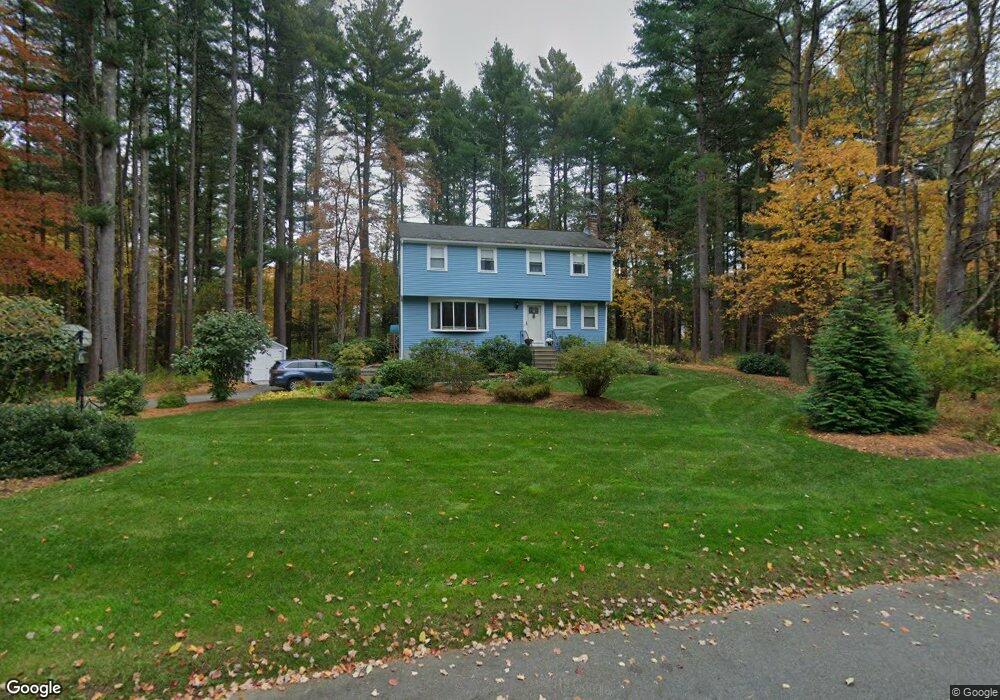
26 Flintlock Ln Sudbury, MA 01776
Estimated Value: $969,753 - $1,187,000
4
Beds
3
Baths
1,750
Sq Ft
$613/Sq Ft
Est. Value
About This Home
This home is located at 26 Flintlock Ln, Sudbury, MA 01776 and is currently estimated at $1,072,188, approximately $612 per square foot. 26 Flintlock Ln is a home located in Middlesex County with nearby schools including General John Nixon Elementary School, Ephraim Curtis Middle School, and Lincoln-Sudbury Regional High School.
Ownership History
Date
Name
Owned For
Owner Type
Purchase Details
Closed on
Jun 4, 2009
Sold by
Flintlock Nt and Smith
Bought by
Smith Andrew R and Smith Karin A
Current Estimated Value
Home Financials for this Owner
Home Financials are based on the most recent Mortgage that was taken out on this home.
Original Mortgage
$275,000
Outstanding Balance
$173,564
Interest Rate
4.83%
Mortgage Type
Purchase Money Mortgage
Estimated Equity
$898,624
Purchase Details
Closed on
May 17, 2004
Sold by
Smith Andrew R and Smith Karin A
Bought by
Flintlock Nt and Smith
Home Financials for this Owner
Home Financials are based on the most recent Mortgage that was taken out on this home.
Original Mortgage
$230,000
Interest Rate
5.47%
Mortgage Type
Purchase Money Mortgage
Purchase Details
Closed on
Jun 19, 1996
Sold by
Bostder Henry M and Bostder Joyce T
Bought by
Smith Andrew R and Smith Karin A
Create a Home Valuation Report for This Property
The Home Valuation Report is an in-depth analysis detailing your home's value as well as a comparison with similar homes in the area
Home Values in the Area
Average Home Value in this Area
Purchase History
| Date | Buyer | Sale Price | Title Company |
|---|---|---|---|
| Smith Andrew R | -- | -- | |
| Smith Andrew R | -- | -- | |
| Smith Andrew R | -- | -- | |
| Flintlock Nt | -- | -- | |
| Smith Andrew R | -- | -- | |
| Flintlock Nt | -- | -- | |
| Flintlock Nt | -- | -- | |
| Smith Andrew R | -- | -- | |
| Smith Andrew R | $309,500 | -- | |
| Smith Andrew R | $309,500 | -- |
Source: Public Records
Mortgage History
| Date | Status | Borrower | Loan Amount |
|---|---|---|---|
| Open | Smith Andrew R | $275,000 | |
| Closed | Smith Andrew R | $275,000 | |
| Previous Owner | Smith Andrew R | $230,000 |
Source: Public Records
Tax History Compared to Growth
Tax History
| Year | Tax Paid | Tax Assessment Tax Assessment Total Assessment is a certain percentage of the fair market value that is determined by local assessors to be the total taxable value of land and additions on the property. | Land | Improvement |
|---|---|---|---|---|
| 2025 | $12,715 | $868,500 | $461,400 | $407,100 |
| 2024 | $12,271 | $839,900 | $447,800 | $392,100 |
| 2023 | $11,733 | $744,000 | $414,600 | $329,400 |
| 2022 | $11,644 | $645,100 | $380,200 | $264,900 |
| 2021 | $11,358 | $603,200 | $380,200 | $223,000 |
| 2020 | $11,129 | $603,200 | $380,200 | $223,000 |
| 2019 | $10,803 | $603,200 | $380,200 | $223,000 |
| 2018 | $10,833 | $604,200 | $400,200 | $204,000 |
| 2017 | $10,600 | $597,500 | $395,400 | $202,100 |
| 2016 | $10,262 | $576,500 | $380,200 | $196,300 |
| 2015 | $9,819 | $557,900 | $365,400 | $192,500 |
| 2014 | $9,796 | $543,300 | $354,600 | $188,700 |
Source: Public Records
Map
Nearby Homes
- 63 Canterbury Dr
- 14 Frost Ln
- 55 Widow Rites Ln
- 45 Widow Rites Ln
- 427 Concord Rd
- 42 Dakin Rd
- 5 Taintor Dr
- 24 Goodnow Rd
- 16 Blacksmith Dr
- 54 Phillips Rd
- 36 Old Forge Ln
- 57 Longfellow Rd
- 29 Longfellow Rd
- 941 Concord Rd
- 4 Elderberry Cir
- Lot 5 Sailaway Ln
- 45 N Crescent Cir
- Lot 4 Sailaway Ln
- 2 Betts Way
- 8 Mina Way