26 Forest Ln Cumberland Center, ME 04021
West Cumberland NeighborhoodEstimated Value: $478,480 - $652,000
3
Beds
2
Baths
1,794
Sq Ft
$310/Sq Ft
Est. Value
About This Home
This home is located at 26 Forest Ln, Cumberland Center, ME 04021 and is currently estimated at $555,870, approximately $309 per square foot. 26 Forest Ln is a home located in Cumberland County with nearby schools including Mabel I. Wilson School, Greely Middle School 4-5, and Greely Middle School.
Ownership History
Date
Name
Owned For
Owner Type
Purchase Details
Closed on
Sep 23, 2020
Sold by
Lemieux Carol S
Bought by
Lemieux Carol S and Lemieux Ronald L
Current Estimated Value
Home Financials for this Owner
Home Financials are based on the most recent Mortgage that was taken out on this home.
Original Mortgage
$160,000
Outstanding Balance
$141,343
Interest Rate
2.9%
Mortgage Type
New Conventional
Estimated Equity
$414,527
Create a Home Valuation Report for This Property
The Home Valuation Report is an in-depth analysis detailing your home's value as well as a comparison with similar homes in the area
Home Values in the Area
Average Home Value in this Area
Purchase History
| Date | Buyer | Sale Price | Title Company |
|---|---|---|---|
| Lemieux Carol S | -- | None Available |
Source: Public Records
Mortgage History
| Date | Status | Borrower | Loan Amount |
|---|---|---|---|
| Open | Lemieux Carol S | $160,000 |
Source: Public Records
Tax History
| Year | Tax Paid | Tax Assessment Tax Assessment Total Assessment is a certain percentage of the fair market value that is determined by local assessors to be the total taxable value of land and additions on the property. | Land | Improvement |
|---|---|---|---|---|
| 2025 | $6,635 | $263,500 | $106,600 | $156,900 |
| 2024 | $6,126 | $263,500 | $106,600 | $156,900 |
| 2023 | $5,837 | $263,500 | $106,600 | $156,900 |
| 2022 | $5,586 | $263,500 | $106,600 | $156,900 |
| 2021 | $5,415 | $263,500 | $106,600 | $156,900 |
| 2020 | $5,362 | $263,500 | $106,600 | $156,900 |
| 2019 | $5,230 | $263,500 | $106,600 | $156,900 |
| 2018 | $5,081 | $257,900 | $106,600 | $151,300 |
| 2017 | $4,849 | $257,900 | $106,600 | $151,300 |
| 2016 | $4,707 | $257,900 | $106,600 | $151,300 |
| 2015 | $4,668 | $257,900 | $106,600 | $151,300 |
| 2014 | $4,487 | $257,900 | $106,600 | $151,300 |
| 2013 | $4,384 | $257,900 | $106,600 | $151,300 |
Source: Public Records
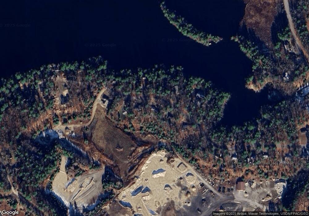
Map
Nearby Homes
- 4 Feldspar Ln Unit 31
- 19 Feldspar Ln Unit 10
- 36 Feldspar Ln Unit 20
- 16 Feldspar Ln Unit 26
- 1 Feldspar Ln Unit 1
- 12 Feldspar Ln Unit 27
- 13 Feldspar Ln Unit 7
- 31 Feldspar Ln Unit 16
- 24 Feldspar Ln Unit 23
- 21 Feldspar Ln Unit 11
- 22 Old Rd
- 26 Feldspar Ln Unit 22
- 0 Lakeside Dr
- 18 Feldspar Ln Unit 25
- 4 Highland Ave
- 78 Lakeside Dr
- 0 Tinker Ln Unit 57D
- 3 Two Lights Rd
- 309 Blanchard Rd
- 5 Ridge Dr
Your Personal Tour Guide
Ask me questions while you tour the home.