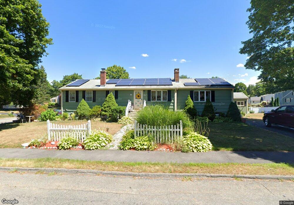
26 Gary Cir Westborough, MA 01581
Estimated Value: $705,000 - $781,000
3
Beds
2
Baths
1,864
Sq Ft
$396/Sq Ft
Est. Value
About This Home
This home is located at 26 Gary Cir, Westborough, MA 01581 and is currently estimated at $737,421, approximately $395 per square foot. 26 Gary Cir is a home with nearby schools including Westborough High School, Ebridge Montessori School, and Westboro Knowledge Beginnings.
Create a Home Valuation Report for This Property
The Home Valuation Report is an in-depth analysis detailing your home's value as well as a comparison with similar homes in the area
Home Values in the Area
Average Home Value in this Area
Tax History Compared to Growth
Tax History
| Year | Tax Paid | Tax Assessment Tax Assessment Total Assessment is a certain percentage of the fair market value that is determined by local assessors to be the total taxable value of land and additions on the property. | Land | Improvement |
|---|---|---|---|---|
| 2025 | $10,072 | $618,300 | $327,900 | $290,400 |
| 2024 | $10,092 | $615,000 | $312,200 | $302,800 |
| 2023 | $9,565 | $568,000 | $294,300 | $273,700 |
| 2022 | $8,914 | $482,100 | $240,900 | $241,200 |
| 2021 | $8,501 | $458,500 | $217,300 | $241,200 |
| 2020 | $8,464 | $462,000 | $213,300 | $248,700 |
| 2019 | $7,763 | $423,500 | $211,400 | $212,100 |
| 2018 | $6,967 | $377,400 | $203,400 | $174,000 |
| 2017 | $6,718 | $377,400 | $203,400 | $174,000 |
| 2016 | $6,644 | $373,900 | $197,500 | $176,400 |
| 2015 | $6,685 | $359,600 | $185,700 | $173,900 |
Source: Public Records
Map
Nearby Homes
- 19 Fisher St
- 6 Folly Ln
- 43 Church St
- 4403 Peters Farm Way Unit 403
- 22 Treetop Park
- 52 Treetop Park Unit 52
- 9 Treetop Park
- 19 Treetop Park Unit 19
- 14 Grove St Unit 2
- 48 High Street Extension
- 9 Shaker Way
- 155 Milk St Unit 5
- 155 Milk St Unit 27
- 7 Mayberry Dr Unit H
- 7 Jennings Rd
- 21 South St Unit 31
- 3 Dover Way
- 8 Stagecoach Cir Unit 8
- 14 Mayberry Dr Unit 10
- 23 Water St