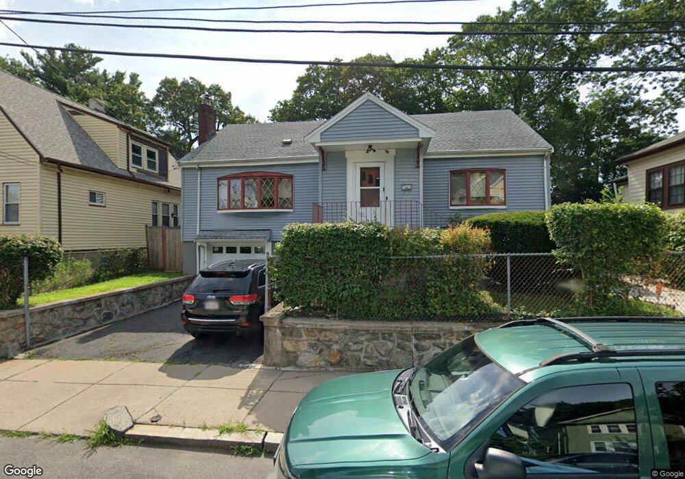
26 Glenhill Rd Mattapan, MA 02126
Southern Mattapan NeighborhoodEstimated Value: $578,114 - $674,000
2
Beds
2
Baths
1,754
Sq Ft
$359/Sq Ft
Est. Value
About This Home
This home is located at 26 Glenhill Rd, Mattapan, MA 02126 and is currently estimated at $630,529, approximately $359 per square foot. 26 Glenhill Rd is a home located in Suffolk County with nearby schools including Berea Seventh-day Adventist Academy.
Ownership History
Date
Name
Owned For
Owner Type
Purchase Details
Closed on
Feb 17, 2000
Sold by
Bryan Edward M
Bought by
Bryan Paulette A
Current Estimated Value
Purchase Details
Closed on
May 16, 1988
Sold by
Bryan Philada O
Bought by
Bryan Edward M
Create a Home Valuation Report for This Property
The Home Valuation Report is an in-depth analysis detailing your home's value as well as a comparison with similar homes in the area
Home Values in the Area
Average Home Value in this Area
Purchase History
| Date | Buyer | Sale Price | Title Company |
|---|---|---|---|
| Bryan Paulette A | $160,000 | -- | |
| Bryan Edward M | $25,000 | -- |
Source: Public Records
Mortgage History
| Date | Status | Borrower | Loan Amount |
|---|---|---|---|
| Open | Bryan Edward M | $15,000 | |
| Open | Bryan Edward M | $216,000 | |
| Closed | Bryan Edward M | $25,000 | |
| Closed | Bryan Edward M | $25,000 |
Source: Public Records
Tax History Compared to Growth
Tax History
| Year | Tax Paid | Tax Assessment Tax Assessment Total Assessment is a certain percentage of the fair market value that is determined by local assessors to be the total taxable value of land and additions on the property. | Land | Improvement |
|---|---|---|---|---|
| 2025 | $5,082 | $438,900 | $136,000 | $302,900 |
| 2024 | $5,078 | $465,900 | $169,900 | $296,000 |
| 2023 | $4,765 | $443,700 | $161,800 | $281,900 |
| 2022 | $4,554 | $418,600 | $152,700 | $265,900 |
| 2021 | $4,262 | $399,400 | $152,700 | $246,700 |
| 2020 | $3,736 | $353,800 | $123,400 | $230,400 |
| 2019 | $3,481 | $330,300 | $93,800 | $236,500 |
| 2018 | $3,236 | $308,800 | $93,800 | $215,000 |
| 2017 | $3,236 | $305,600 | $93,800 | $211,800 |
| 2016 | $2,924 | $265,800 | $93,800 | $172,000 |
| 2015 | $2,514 | $207,600 | $90,900 | $116,700 |
| 2014 | $2,439 | $193,900 | $90,900 | $103,000 |
Source: Public Records
Map
Nearby Homes
- 30 Glenhill Rd
- 30 Glenhill Rd Unit 1
- 22 Glenhill Rd
- 18 Glenhill Rd
- 34 Glenhill Rd
- 31 Glenhill Rd
- 33-35 Glenhill Rd
- 27 Glenhill Rd
- 33 Glenhill Rd Unit 35
- 25 Doone Ave
- 25 Doone Ave Unit 2
- 40 Glenhill Rd
- 21 Doone Ave
- 30 Stow Rd
- 28 Stow Rd
- 41 Glenhill Rd
- 34 Stow Rd
- 14 Glenhill Rd
- 46 Stow Rd
- 17 Doone Ave