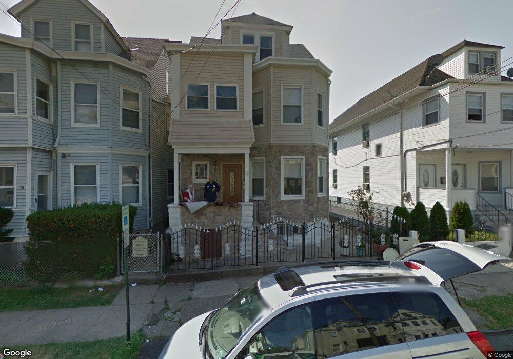
26 Gould Ave Unit 28 Paterson, NJ 07503
South Paterson NeighborhoodEstimated Value: $429,000 - $575,000
--
Bed
--
Bath
2,400
Sq Ft
$222/Sq Ft
Est. Value
About This Home
This home is located at 26 Gould Ave Unit 28, Paterson, NJ 07503 and is currently estimated at $533,594, approximately $222 per square foot. 26 Gould Ave Unit 28 is a home located in Passaic County with nearby schools including Dale Avenue Elementary School, Edward W. Kilpatrick School of Discovery, and Paterson Public School No. 3.
Ownership History
Date
Name
Owned For
Owner Type
Purchase Details
Closed on
Aug 6, 1998
Sold by
Khalil Sufian M and Abu Awad Nawaf S
Bought by
Abu Awad Nawaf S
Current Estimated Value
Home Financials for this Owner
Home Financials are based on the most recent Mortgage that was taken out on this home.
Original Mortgage
$138,000
Outstanding Balance
$28,639
Interest Rate
6.86%
Estimated Equity
$504,955
Purchase Details
Closed on
Jun 2, 1997
Sold by
Saleh Khalid
Bought by
Awad Sufian Khalil and Awad Newaf Abu
Home Financials for this Owner
Home Financials are based on the most recent Mortgage that was taken out on this home.
Original Mortgage
$132,000
Interest Rate
7.98%
Create a Home Valuation Report for This Property
The Home Valuation Report is an in-depth analysis detailing your home's value as well as a comparison with similar homes in the area
Home Values in the Area
Average Home Value in this Area
Purchase History
| Date | Buyer | Sale Price | Title Company |
|---|---|---|---|
| Abu Awad Nawaf S | -- | -- | |
| Awad Sufian Khalil | $180,000 | -- |
Source: Public Records
Mortgage History
| Date | Status | Borrower | Loan Amount |
|---|---|---|---|
| Open | Abu Awad Nawaf S | $138,000 | |
| Previous Owner | Awad Sufian Khalil | $132,000 |
Source: Public Records
Tax History Compared to Growth
Tax History
| Year | Tax Paid | Tax Assessment Tax Assessment Total Assessment is a certain percentage of the fair market value that is determined by local assessors to be the total taxable value of land and additions on the property. | Land | Improvement |
|---|---|---|---|---|
| 2025 | $9,986 | $196,000 | $53,100 | $142,900 |
| 2024 | $9,610 | $196,000 | $53,100 | $142,900 |
| 2022 | $9,098 | $196,000 | $53,100 | $142,900 |
| 2021 | $8,773 | $196,000 | $53,100 | $142,900 |
| 2020 | $8,183 | $196,000 | $53,100 | $142,900 |
| 2019 | $7,912 | $191,400 | $51,900 | $139,500 |
| 2018 | $8,163 | $188,700 | $51,400 | $137,300 |
| 2017 | $7,792 | $187,300 | $51,100 | $136,200 |
| 2016 | $8,583 | $197,800 | $53,800 | $144,000 |
| 2015 | $8,126 | $197,800 | $53,800 | $144,000 |
| 2014 | $8,129 | $280,300 | $128,600 | $151,700 |
Source: Public Records
Map
Nearby Homes
- 24 Gould Ave Unit 26
- 22 Gould Ave
- 30 Gould Ave
- 32 Gould Ave
- 377 Dakota St Unit 379
- 34 Gould Ave
- 379 Dakota St Unit 381
- 23 Gould Ave
- 21 Gould Ave
- 27 Gould Ave
- 36 Gould Ave Unit 2
- 36 Gould Ave Unit 1
- 36 Gould Ave
- 370 Paxton St Unit 372
- 383 Dakota St Unit 385
- 378 Dakota St
- 383-385 Dakota St
- 14 Gould Ave Unit 16
- 380 Dakota St
- 388 Paxton St Unit 390