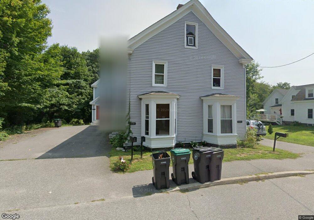
26 Grove St Unit 26 Kennebunk, ME 04043
Estimated Value: $379,000 - $443,000
2
Beds
2
Baths
1,085
Sq Ft
$370/Sq Ft
Est. Value
About This Home
This home is located at 26 Grove St Unit 26, Kennebunk, ME 04043 and is currently estimated at $401,516, approximately $370 per square foot. 26 Grove St Unit 26 is a home located in York County with nearby schools including Kennebunk High School, School Around Us, and The New School.
Ownership History
Date
Name
Owned For
Owner Type
Purchase Details
Closed on
Jun 16, 2014
Sold by
Clearwater Cap Ventures
Bought by
Furber Carolyn T and Furber Timothy A
Current Estimated Value
Home Financials for this Owner
Home Financials are based on the most recent Mortgage that was taken out on this home.
Original Mortgage
$119,000
Outstanding Balance
$90,955
Interest Rate
4.33%
Mortgage Type
Unknown
Estimated Equity
$310,561
Purchase Details
Closed on
Jun 4, 2014
Sold by
Clearwater Capital Vent
Bought by
Clinehens Sara E
Home Financials for this Owner
Home Financials are based on the most recent Mortgage that was taken out on this home.
Original Mortgage
$119,000
Outstanding Balance
$90,955
Interest Rate
4.33%
Mortgage Type
Unknown
Estimated Equity
$310,561
Purchase Details
Closed on
Apr 29, 2014
Sold by
Clearwater Cap Vent Llc
Bought by
Legare Christopher R and Legare Susan E
Home Financials for this Owner
Home Financials are based on the most recent Mortgage that was taken out on this home.
Original Mortgage
$119,000
Outstanding Balance
$90,955
Interest Rate
4.33%
Mortgage Type
Unknown
Estimated Equity
$310,561
Create a Home Valuation Report for This Property
The Home Valuation Report is an in-depth analysis detailing your home's value as well as a comparison with similar homes in the area
Home Values in the Area
Average Home Value in this Area
Purchase History
| Date | Buyer | Sale Price | Title Company |
|---|---|---|---|
| Furber Carolyn T | -- | -- | |
| Clinehens Sara E | -- | -- | |
| Legare Christopher R | -- | -- |
Source: Public Records
Mortgage History
| Date | Status | Borrower | Loan Amount |
|---|---|---|---|
| Open | Clinehens Sara E | $119,000 |
Source: Public Records
Tax History Compared to Growth
Tax History
| Year | Tax Paid | Tax Assessment Tax Assessment Total Assessment is a certain percentage of the fair market value that is determined by local assessors to be the total taxable value of land and additions on the property. | Land | Improvement |
|---|---|---|---|---|
| 2024 | $3,653 | $215,500 | $66,700 | $148,800 |
| 2023 | $3,459 | $215,500 | $66,700 | $148,800 |
| 2022 | $3,146 | $215,500 | $66,700 | $148,800 |
| 2021 | $3,071 | $215,500 | $66,700 | $148,800 |
| 2020 | $3,049 | $215,500 | $66,700 | $148,800 |
| 2019 | $2,963 | $215,500 | $66,700 | $148,800 |
| 2018 | $2,828 | $161,600 | $50,000 | $111,600 |
| 2017 | $2,674 | $161,600 | $50,000 | $111,600 |
| 2016 | $2,569 | $161,600 | $50,000 | $111,600 |
| 2015 | $2,472 | $161,600 | $50,000 | $111,600 |
Source: Public Records
Map
Nearby Homes
- 17 Water St Unit 9
- 22 York St
- 30 York St Unit 1
- 47 Brown St
- 17 Legacy Ln
- 45 Summer St Unit 1
- 61 Fletcher St
- 14 Wiggins Pond Ln
- 7 Acorn Cir
- 11 Mousam Ridge Rd
- 27 Webhannet Place Unit 16
- 3 Hardwood Dr
- 18 Greenwich Way Unit 38
- 31 Oakwood Ln
- 16 Boundary Way
- 28 Longfellow Ln Unit 15
- 20 Wonderbrook Dr
- 7 Wonderbrook Dr
- 00 Summer St
- 59 Plymouth Grove Unit 11