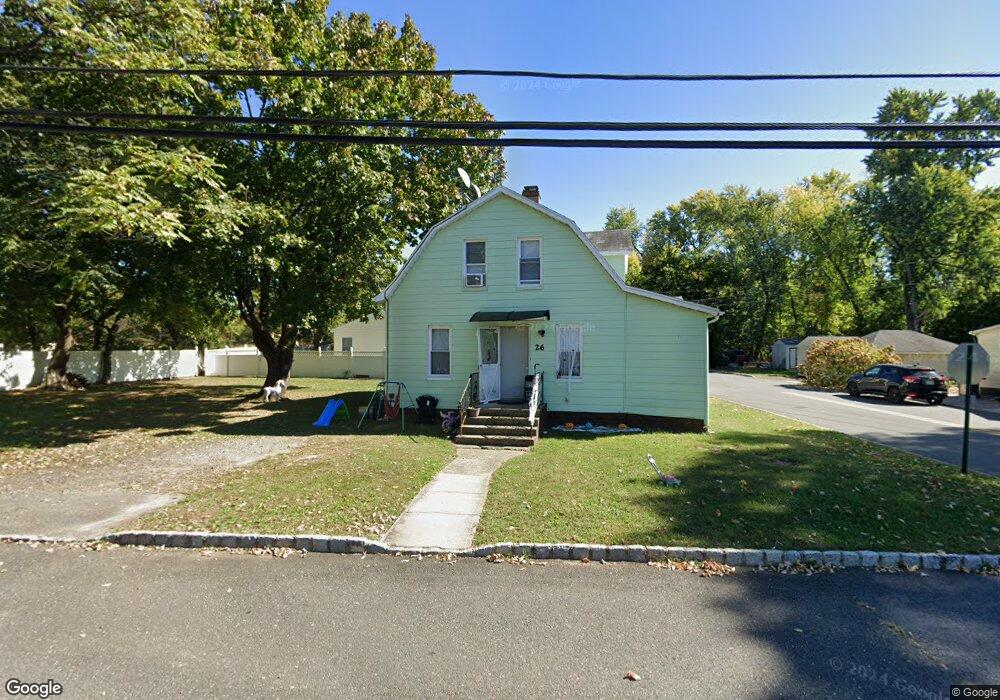
26 Hamilton St Englishtown, NJ 07726
Estimated Value: $471,000 - $559,000
5
Beds
2
Baths
1,592
Sq Ft
$320/Sq Ft
Est. Value
About This Home
This home is located at 26 Hamilton St, Englishtown, NJ 07726 and is currently estimated at $510,023, approximately $320 per square foot. 26 Hamilton St is a home located in Monmouth County with nearby schools including Taylor Mills Elementary School, Manalapan-Englishtown Middle School, and Pine Brook Elementary School.
Ownership History
Date
Name
Owned For
Owner Type
Purchase Details
Closed on
Sep 27, 2005
Sold by
Mcdonald John F
Bought by
Kok Wai Pang
Current Estimated Value
Home Financials for this Owner
Home Financials are based on the most recent Mortgage that was taken out on this home.
Original Mortgage
$57,000
Interest Rate
5.43%
Mortgage Type
Stand Alone Second
Create a Home Valuation Report for This Property
The Home Valuation Report is an in-depth analysis detailing your home's value as well as a comparison with similar homes in the area
Home Values in the Area
Average Home Value in this Area
Purchase History
| Date | Buyer | Sale Price | Title Company |
|---|---|---|---|
| Kok Wai Pang | $285,000 | -- |
Source: Public Records
Mortgage History
| Date | Status | Borrower | Loan Amount |
|---|---|---|---|
| Closed | Kok Wai Pang | $57,000 | |
| Previous Owner | Kok Wai Pang | $228,000 |
Source: Public Records
Tax History Compared to Growth
Tax History
| Year | Tax Paid | Tax Assessment Tax Assessment Total Assessment is a certain percentage of the fair market value that is determined by local assessors to be the total taxable value of land and additions on the property. | Land | Improvement |
|---|---|---|---|---|
| 2025 | $7,801 | $435,800 | $264,000 | $171,800 |
| 2024 | $7,264 | $392,600 | $224,000 | $168,600 |
| 2023 | $7,264 | $372,900 | $204,000 | $168,900 |
| 2022 | $6,322 | $327,400 | $179,000 | $148,400 |
| 2021 | $5,818 | $271,000 | $139,000 | $132,000 |
| 2020 | $5,991 | $248,300 | $129,000 | $119,300 |
| 2019 | $5,818 | $240,900 | $129,000 | $111,900 |
| 2018 | $5,977 | $235,700 | $129,000 | $106,700 |
| 2017 | $5,708 | $232,700 | $129,000 | $103,700 |
| 2016 | $5,537 | $231,500 | $130,800 | $100,700 |
| 2015 | $5,492 | $236,500 | $135,800 | $100,700 |
| 2014 | $5,871 | $268,100 | $180,800 | $87,300 |
Source: Public Records
Map
Nearby Homes
- 33 Tennent Ave
- 27 Farm Tree Rd
- 21 Harrison Ave
- 9 Tennent Ave
- 11 Weamaconk Dr
- 28 Whittier Dr
- 19 Weamaconk Dr
- 0 Private St Unit 22508862
- 21 Thoreau Dr
- 13 Lasatta Ave
- 10 Milton Ave
- 1 Thoreau Dr
- 29 Wilson Ave
- 57 Chestnut Way
- 5 Mallard Ct
- 132 Millhurst Rd
- 63 Atrium Way Unit 6-3
- 21 Lone Star Ln
- 15 Lone Star Ln
- 51 Dortmunder Dr
- 26C Hamilton St
- 28 Hamilton St
- 8 Irving Place
- 24 Hamilton St
- 6 Irving Place
- 29 Hamilton St
- 22 Hamilton St
- 4 Irving Place
- 5 Irving Place
- 2 Irving Place
- 3 Irving Place
- 42 Tennent Ave
- 46 Tennent Ave
- 40 Tennent Ave
- 44 Tennent Ave
- 38 Tennent Ave
- 36 Tennent Ave
- 12 Harrison Ave
- 34 Tennent Ave
- 8 Harrison Ave