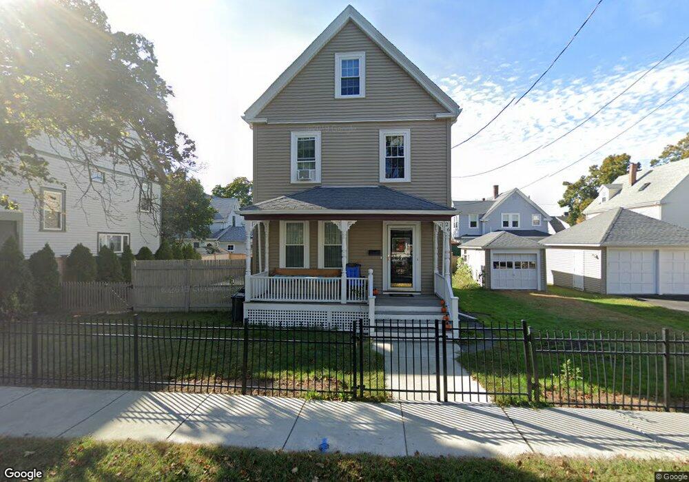
26 Hamilton St Unit SF Quincy, MA 02170
North Quincy NeighborhoodEstimated Value: $831,000 - $916,000
5
Beds
3
Baths
2,152
Sq Ft
$401/Sq Ft
Est. Value
About This Home
This home is located at 26 Hamilton St Unit SF, Quincy, MA 02170 and is currently estimated at $863,005, approximately $401 per square foot. 26 Hamilton St Unit SF is a home located in Norfolk County with nearby schools including Beechwood Knoll Elementary School, Atlantic Middle School, and North Quincy High School.
Ownership History
Date
Name
Owned For
Owner Type
Purchase Details
Closed on
Sep 17, 2015
Sold by
26 Hamilton Street Rt and Fleming
Bought by
Fleming Alyson H
Current Estimated Value
Purchase Details
Closed on
Aug 13, 2010
Sold by
Fleming Michael Z
Bought by
26 Hamilton Street Rt and Fleming
Purchase Details
Closed on
Dec 10, 2009
Sold by
Fleming Michael Z and Fleming Maureen H
Bought by
Fleming Michael Z
Purchase Details
Closed on
Sep 12, 2001
Sold by
Brucchi Doris M
Bought by
Fleming Michael Z and Fleming Maureen H
Home Financials for this Owner
Home Financials are based on the most recent Mortgage that was taken out on this home.
Original Mortgage
$203,200
Interest Rate
6.99%
Mortgage Type
Purchase Money Mortgage
Create a Home Valuation Report for This Property
The Home Valuation Report is an in-depth analysis detailing your home's value as well as a comparison with similar homes in the area
Home Values in the Area
Average Home Value in this Area
Purchase History
| Date | Buyer | Sale Price | Title Company |
|---|---|---|---|
| Fleming Alyson H | -- | -- | |
| 26 Hamilton Street Rt | -- | -- | |
| Fleming Michael Z | -- | -- | |
| Fleming Michael Z | $254,000 | -- |
Source: Public Records
Mortgage History
| Date | Status | Borrower | Loan Amount |
|---|---|---|---|
| Previous Owner | Fleming Michael Z | $203,200 |
Source: Public Records
Tax History Compared to Growth
Tax History
| Year | Tax Paid | Tax Assessment Tax Assessment Total Assessment is a certain percentage of the fair market value that is determined by local assessors to be the total taxable value of land and additions on the property. | Land | Improvement |
|---|---|---|---|---|
| 2025 | $8,295 | $719,400 | $371,200 | $348,200 |
| 2024 | $7,577 | $672,300 | $371,200 | $301,100 |
| 2023 | $7,012 | $630,000 | $353,500 | $276,500 |
| 2022 | $6,703 | $559,500 | $282,800 | $276,700 |
| 2021 | $6,414 | $528,300 | $282,800 | $245,500 |
| 2020 | $6,342 | $510,200 | $282,800 | $227,400 |
| 2019 | $6,126 | $488,100 | $264,300 | $223,800 |
| 2018 | $5,776 | $433,000 | $240,300 | $192,700 |
| 2017 | $5,941 | $419,300 | $240,300 | $179,000 |
| 2016 | $5,711 | $397,700 | $218,500 | $179,200 |
| 2015 | $5,298 | $362,900 | $198,600 | $164,300 |
| 2014 | $4,986 | $335,500 | $189,100 | $146,400 |
Source: Public Records
Map
Nearby Homes
- 65 - 67 Davis St
- 101 Beach St
- 41 Davis St
- 43 Ellington Rd
- 237 Billings Rd
- 522 Hancock St
- 511 Hancock St Unit 207
- 6 Warwick St
- 140 Phillips St
- 21 Linden St Unit 417
- 14 Ridgeway St
- 41 Randlett St
- 143 Arlington St
- 1 Edwin St Unit C
- 204 Farrington St
- 17 Holmes St Unit 2
- 17 Holmes St Unit 4
- 85 E Squantum St Unit 10
- 365 Newport Ave Unit 301
- 100 Thornton St
- 26 Hamilton St
- 22 Hamilton St
- 18 Eustis St
- 32 Eustis St
- 28 Eustis St
- 25 Hamilton St
- 38 Hamilton St
- 18 Hamilton St
- 21 Hamilton St
- 33 Hamilton St
- 36 Eustis St
- 36 Eustis St Unit 36
- 14 Eustis St
- 14 Eustis St Unit 2
- 14 Eustis St Unit 1
- 17 Hamilton St
- 38 Eustis St Unit 2
- 14 Hamilton St
- 40 Hamilton St
- 35 Hamilton St