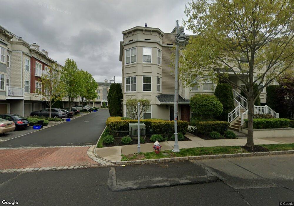
26 Harbor Pointe Dr Unit 102 Haverstraw, NY 10927
Estimated Value: $615,363 - $712,000
2
Beds
3
Baths
1,916
Sq Ft
$345/Sq Ft
Est. Value
About This Home
This home is located at 26 Harbor Pointe Dr Unit 102, Haverstraw, NY 10927 and is currently estimated at $660,591, approximately $344 per square foot. 26 Harbor Pointe Dr Unit 102 is a home located in Rockland County with nearby schools including Haverstraw Elementary School, West Haverstraw Elementary School, and Fieldstone Secondary School.
Ownership History
Date
Name
Owned For
Owner Type
Purchase Details
Closed on
Apr 2, 2021
Sold by
Cool Jeffrey G and Cool Jill M
Bought by
Malave Jonathan
Current Estimated Value
Home Financials for this Owner
Home Financials are based on the most recent Mortgage that was taken out on this home.
Original Mortgage
$308,000
Outstanding Balance
$278,087
Interest Rate
3%
Mortgage Type
New Conventional
Estimated Equity
$382,504
Purchase Details
Closed on
Sep 5, 2019
Sold by
Murphy John P and Murphy Linda
Bought by
Cool Jeffery G and Cool Jill M
Home Financials for this Owner
Home Financials are based on the most recent Mortgage that was taken out on this home.
Original Mortgage
$326,250
Interest Rate
3.6%
Mortgage Type
New Conventional
Create a Home Valuation Report for This Property
The Home Valuation Report is an in-depth analysis detailing your home's value as well as a comparison with similar homes in the area
Home Values in the Area
Average Home Value in this Area
Purchase History
| Date | Buyer | Sale Price | Title Company |
|---|---|---|---|
| Malave Jonathan | $415,000 | None Available | |
| Malave Jonathan | $415,000 | None Available | |
| Cool Jeffery G | $435,000 | None Available | |
| Cool Jeffery G | $435,000 | None Available |
Source: Public Records
Mortgage History
| Date | Status | Borrower | Loan Amount |
|---|---|---|---|
| Open | Malave Jonathan | $308,000 | |
| Closed | Malave Jonathan | $308,000 | |
| Previous Owner | Cool Jeffery G | $326,250 |
Source: Public Records
Tax History Compared to Growth
Tax History
| Year | Tax Paid | Tax Assessment Tax Assessment Total Assessment is a certain percentage of the fair market value that is determined by local assessors to be the total taxable value of land and additions on the property. | Land | Improvement |
|---|---|---|---|---|
| 2024 | $74,300 | $270,171 | $38,000 | $232,171 |
| 2023 | $74,300 | $272,025 | $38,000 | $234,025 |
| 2022 | $78,126 | $272,025 | $38,000 | $234,025 |
| 2021 | $74,330 | $302,250 | $38,000 | $264,250 |
| 2020 | $17,547 | $302,250 | $38,000 | $264,250 |
| 2019 | $3,502 | $376,500 | $38,000 | $338,500 |
| 2018 | $18,041 | $376,500 | $38,000 | $338,500 |
| 2017 | $17,046 | $376,500 | $38,000 | $338,500 |
| 2016 | $17,095 | $427,500 | $38,000 | $389,500 |
| 2015 | -- | $427,500 | $38,000 | $389,500 |
| 2014 | -- | $427,500 | $38,000 | $389,500 |
Source: Public Records
Map
Nearby Homes
- 7 Edge Water Ln
- 2 Leeward Dr Unit 41
- 3216 Leeward Dr
- 3207 Leeward Dr
- 1320 Round Pointe Dr
- 1308 Round Pointe Dr Unit 1308
- 1207 Round Pointe Dr
- 150 Clove Ave
- 19 3rd St
- 64 Maple Ave
- 144 Hudson Ave
- 68 Hillside Ave
- 130 Hudson Ave
- 30 Riverside Ave
- 76 Hudson Ave
- 9 Hillside Ave
- 24 Partition St
- 70 Hudson Ave
- 9 W Lincoln St
- 45 Riverside Ave
- 26 Harbor Pointe Dr
- 28 Harbor Pointe Dr
- 30 Harbor Pointe Dr
- 32 Harbor Pointe Dr Unit 105
- 34 Harbor Pointe Dr
- 25 Bridge Ln
- 29 Bridge Ln Unit 84
- 21 Bridge Ln
- 31 Bridge Ln Unit 85
- 36 Harbor Pointe Dr Unit 107
- 37 Bridge Ln
- 38 Harbor Pointe Dr
- 33 Bridge Ln
- 2 Riverfront Ln
- 4 Riverfront Ln
- 6 Riverfront Ln
- 8 Riverfront Ln
- 10 Riverfront Ln
- 12 Riverfront Ln
- 14 Riverfront Ln