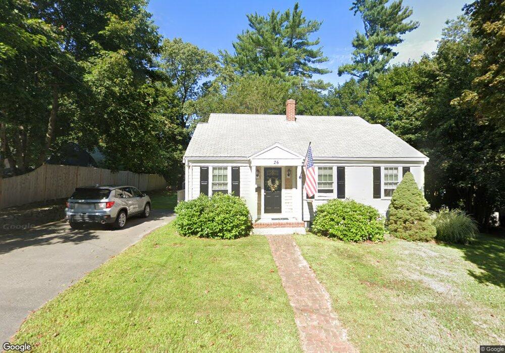
26 Hemlock Rd Hingham, MA 02043
Estimated Value: $735,021 - $1,061,000
4
Beds
3
Baths
1,387
Sq Ft
$650/Sq Ft
Est. Value
About This Home
This home is located at 26 Hemlock Rd, Hingham, MA 02043 and is currently estimated at $902,005, approximately $650 per square foot. 26 Hemlock Rd is a home located in Plymouth County with nearby schools including Plymouth River Elementary School, Hingham Middle School, and Hingham High School.
Ownership History
Date
Name
Owned For
Owner Type
Purchase Details
Closed on
Sep 16, 2008
Sold by
Warmack Theresa M and Warmack Tempee F
Bought by
Comrack Peter
Current Estimated Value
Home Financials for this Owner
Home Financials are based on the most recent Mortgage that was taken out on this home.
Original Mortgage
$50,000
Outstanding Balance
$32,805
Interest Rate
6.58%
Mortgage Type
Purchase Money Mortgage
Estimated Equity
$869,200
Create a Home Valuation Report for This Property
The Home Valuation Report is an in-depth analysis detailing your home's value as well as a comparison with similar homes in the area
Purchase History
| Date | Buyer | Sale Price | Title Company |
|---|---|---|---|
| Comrack Peter | $230,000 | -- |
Source: Public Records
Mortgage History
| Date | Status | Borrower | Loan Amount |
|---|---|---|---|
| Open | Comrack Peter | $50,000 | |
| Previous Owner | Comrack Peter | $120,000 | |
| Previous Owner | Comrack Peter | $87,500 | |
| Previous Owner | Comrack Peter | $75,000 |
Source: Public Records
Tax History
| Year | Tax Paid | Tax Assessment Tax Assessment Total Assessment is a certain percentage of the fair market value that is determined by local assessors to be the total taxable value of land and additions on the property. | Land | Improvement |
|---|---|---|---|---|
| 2025 | $6,276 | $587,100 | $318,700 | $268,400 |
| 2024 | $6,024 | $555,200 | $318,700 | $236,500 |
| 2023 | $5,077 | $507,700 | $295,900 | $211,800 |
| 2022 | $5,137 | $444,400 | $258,000 | $186,400 |
| 2021 | $4,948 | $419,300 | $258,000 | $161,300 |
| 2020 | $4,835 | $419,300 | $258,000 | $161,300 |
| 2019 | $4,787 | $405,300 | $258,000 | $147,300 |
| 2018 | $10,142 | $402,500 | $258,000 | $144,500 |
| 2017 | $4,884 | $398,700 | $254,200 | $144,500 |
| 2016 | $4,829 | $386,600 | $242,100 | $144,500 |
| 2015 | $4,493 | $358,600 | $214,100 | $144,500 |
Source: Public Records
Map
Nearby Homes
- 22 Hemlock Rd
- 28 Hemlock Rd
- 28 Hemlock Rd Unit 28
- 32 Hemlock Rd
- 30 Hemlock Rd
- 27 Hemlock Rd
- 25 Hemlock Rd
- 24 Nutty Hill Rd
- 29 Hemlock Rd
- 21 Hemlock Rd
- 22 Nutty Hill Rd
- 33 Hemlock Rd
- 33 Hemlock Rd Unit 1,1
- 35 Hemlock Rd
- 35 Hemlock Rd Unit 33
- 36 Hemlock Rd
- 31 Hemlock Rd
- 43 Hemlock Rd
- 43 Hemlock Rd Unit 43 Hemlock
- 19 Hemlock Rd Unit A
Your Personal Tour Guide
Ask me questions while you tour the home.