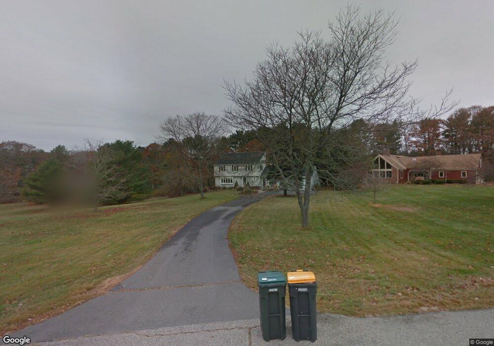
26 High Point Rd Scarborough, ME 04074
Estimated Value: $830,629 - $917,000
5
Beds
3
Baths
2,563
Sq Ft
$340/Sq Ft
Est. Value
About This Home
This home is located at 26 High Point Rd, Scarborough, ME 04074 and is currently estimated at $870,407, approximately $339 per square foot. 26 High Point Rd is a home located in Cumberland County with nearby schools including Scarborough High School and Cornerstone Baptist Academy.
Ownership History
Date
Name
Owned For
Owner Type
Purchase Details
Closed on
Dec 20, 2013
Sold by
Greatorex David R and Greatorex Patricia S
Bought by
Murray Kathleen L and Locke Derek F
Current Estimated Value
Home Financials for this Owner
Home Financials are based on the most recent Mortgage that was taken out on this home.
Original Mortgage
$266,000
Outstanding Balance
$198,345
Interest Rate
4.15%
Mortgage Type
Commercial
Estimated Equity
$672,062
Purchase Details
Closed on
Oct 18, 2013
Sold by
Dobrovolny Mark S and Dobrovolny Suzanne M
Bought by
Greatorex David R and Greatorex Patricia S
Create a Home Valuation Report for This Property
The Home Valuation Report is an in-depth analysis detailing your home's value as well as a comparison with similar homes in the area
Home Values in the Area
Average Home Value in this Area
Purchase History
| Date | Buyer | Sale Price | Title Company |
|---|---|---|---|
| Murray Kathleen L | -- | -- | |
| Greatorex David R | -- | -- |
Source: Public Records
Mortgage History
| Date | Status | Borrower | Loan Amount |
|---|---|---|---|
| Open | Murray Kathleen L | $266,000 |
Source: Public Records
Tax History Compared to Growth
Tax History
| Year | Tax Paid | Tax Assessment Tax Assessment Total Assessment is a certain percentage of the fair market value that is determined by local assessors to be the total taxable value of land and additions on the property. | Land | Improvement |
|---|---|---|---|---|
| 2024 | $8,306 | $759,900 | $250,200 | $509,700 |
| 2023 | $7,801 | $488,500 | $169,300 | $319,200 |
| 2022 | $7,518 | $488,500 | $169,300 | $319,200 |
| 2021 | $6,824 | $454,300 | $169,300 | $285,000 |
| 2020 | $5,183 | $454,300 | $169,300 | $285,000 |
| 2019 | $5,183 | $454,300 | $169,300 | $285,000 |
| 2017 | $6,542 | $396,700 | $198,400 | $198,300 |
| 2016 | $6,315 | $396,700 | $198,400 | $198,300 |
| 2015 | $6,145 | $396,700 | $198,400 | $198,300 |
| 2014 | $5,990 | $396,700 | $198,400 | $198,300 |
| 2013 | -- | $396,700 | $198,400 | $198,300 |
Source: Public Records
Map
Nearby Homes
- 49 Seavey Landing Rd
- 24 Bayberry Ln
- 9 Evergreen Farms Rd
- 11 Vista Dr
- 19 Jasper St
- 5 Traditional St
- 5 Estate Dr
- 8 Ballantyne Dr
- 37 Jasper St
- Lot 5 Trestle Way
- Lot 6 Trestle Way
- 11 Westwood Ave
- 3 E Grand Ave
- 29 Driftwood Ln
- 375 Pine Point Rd
- 3 King St Unit 4
- 1 Teal Point Dr Unit 1
- 19 Millbrook Rd
- 23 E Grand Ave
- 48 Highland Ave
- 28 High Point Rd
- 3 Sandy Point Rd
- 5 Sandy Point Rd
- 27 High Point Rd
- 6 Orchard Hill Rd
- 25 High Point Rd
- 4 Orchard Hill Rd
- 2 Salt Marsh Cir
- 23 High Point Rd
- 21 High Point Rd
- 2 Orchard Hill Rd
- 1 Salt Marsh Cir
- 4 Salt Marsh Cir
- 1 High Point Rd
- 3 Ledgewood Cir
- 3 Orchard Hill Rd
- 19 High Point Rd
- 2 Ledgewood Cir
- 3 High Point Rd
- 2 High Point Rd