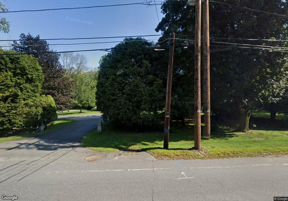
26 High St Topsfield, MA 01983
Estimated Value: $781,000 - $901,000
3
Beds
2
Baths
2,299
Sq Ft
$359/Sq Ft
Est. Value
About This Home
This home is located at 26 High St, Topsfield, MA 01983 and is currently estimated at $826,318, approximately $359 per square foot. 26 High St is a home located in Essex County with nearby schools including Steward Elementary School, Proctor Elementary School, and Masconomet Regional Middle School.
Create a Home Valuation Report for This Property
The Home Valuation Report is an in-depth analysis detailing your home's value as well as a comparison with similar homes in the area
Home Values in the Area
Average Home Value in this Area
Tax History Compared to Growth
Tax History
| Year | Tax Paid | Tax Assessment Tax Assessment Total Assessment is a certain percentage of the fair market value that is determined by local assessors to be the total taxable value of land and additions on the property. | Land | Improvement |
|---|---|---|---|---|
| 2025 | $10,563 | $704,700 | $336,200 | $368,500 |
| 2024 | $10,085 | $686,500 | $336,200 | $350,300 |
| 2023 | $9,158 | $602,500 | $325,000 | $277,500 |
| 2022 | $9,687 | $581,800 | $325,000 | $256,800 |
| 2021 | $9,098 | $507,700 | $268,900 | $238,800 |
| 2020 | $8,844 | $507,700 | $268,900 | $238,800 |
| 2019 | $8,592 | $505,400 | $268,900 | $236,500 |
| 2018 | $8,418 | $484,900 | $268,900 | $216,000 |
| 2017 | $7,767 | $458,800 | $242,800 | $216,000 |
| 2016 | $7,320 | $443,100 | $227,900 | $215,200 |
Source: Public Records
Map
Nearby Homes
- 34 Great Hill Dr Unit 34
- 76 Parsonage Ln
- 27 Brookside Rd
- 223 Perkins Row
- 137 Perkins Row
- 10 Walker Rd
- 117 Perkins Row
- 88 Haverhill Rd
- 28 Andrews Farm Rd
- 14 Alderbrook Dr
- 95 Salem Rd
- 10 Haymeadow Rd
- 52 Wenham Rd
- 4 Ruby Cir
- Lot 3 Pearl Way
- Lot 1 Pearl Way
- 84 Hill St
- 40 East St
- 4 Wildmeadow Rd
- 37 East St