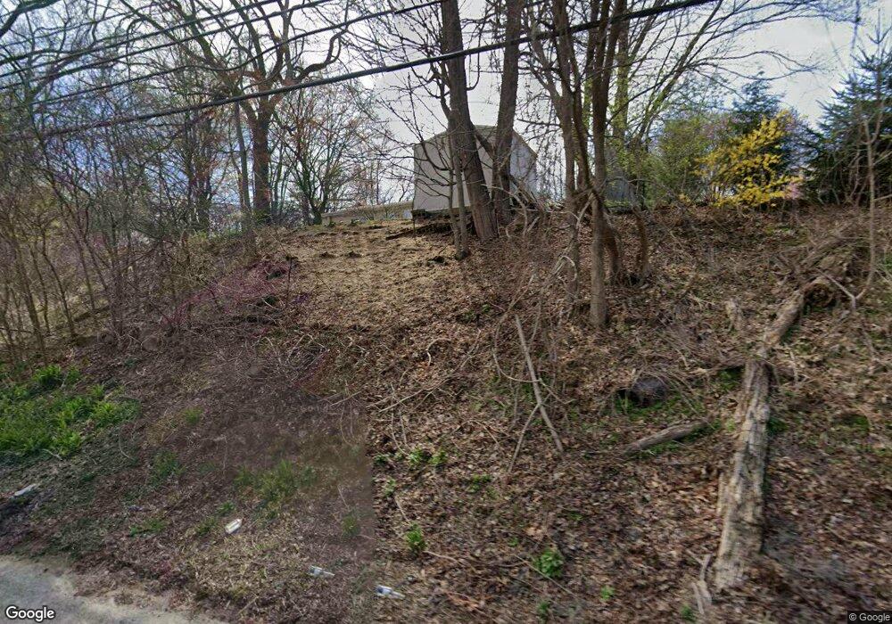
26 Hightop Rd West Milford, NJ 07480
Estimated Value: $356,745 - $453,000
--
Bed
--
Bath
975
Sq Ft
$402/Sq Ft
Est. Value
About This Home
This home is located at 26 Hightop Rd, West Milford, NJ 07480 and is currently estimated at $392,186, approximately $402 per square foot. 26 Hightop Rd is a home located in Passaic County with nearby schools including Macopin Middle School and West Milford High School.
Ownership History
Date
Name
Owned For
Owner Type
Purchase Details
Closed on
May 2, 2008
Sold by
Graney Erin and Jobbagy Michael D
Bought by
Jobbagy Michael D
Current Estimated Value
Home Financials for this Owner
Home Financials are based on the most recent Mortgage that was taken out on this home.
Original Mortgage
$306,000
Outstanding Balance
$194,092
Interest Rate
5.91%
Mortgage Type
New Conventional
Estimated Equity
$198,094
Purchase Details
Closed on
Aug 24, 2006
Sold by
Donnelly Rita
Bought by
Jobbagy Michael D and Graney Erin
Home Financials for this Owner
Home Financials are based on the most recent Mortgage that was taken out on this home.
Original Mortgage
$286,200
Interest Rate
6.59%
Mortgage Type
New Conventional
Purchase Details
Closed on
Apr 15, 2002
Sold by
Vansplinter Martha
Bought by
Foster Mark
Home Financials for this Owner
Home Financials are based on the most recent Mortgage that was taken out on this home.
Original Mortgage
$99,000
Interest Rate
7.18%
Create a Home Valuation Report for This Property
The Home Valuation Report is an in-depth analysis detailing your home's value as well as a comparison with similar homes in the area
Home Values in the Area
Average Home Value in this Area
Purchase History
| Date | Buyer | Sale Price | Title Company |
|---|---|---|---|
| Jobbagy Michael D | -- | -- | |
| Jobbagy Michael D | $357,750 | -- | |
| Foster Mark | $110,000 | -- |
Source: Public Records
Mortgage History
| Date | Status | Borrower | Loan Amount |
|---|---|---|---|
| Open | Jobbagy Michael D | $306,000 | |
| Previous Owner | Jobbagy Michael D | $286,200 | |
| Previous Owner | Foster Mark | $99,000 |
Source: Public Records
Tax History Compared to Growth
Tax History
| Year | Tax Paid | Tax Assessment Tax Assessment Total Assessment is a certain percentage of the fair market value that is determined by local assessors to be the total taxable value of land and additions on the property. | Land | Improvement |
|---|---|---|---|---|
| 2025 | $7,435 | $183,400 | $74,100 | $109,300 |
| 2024 | $7,474 | $183,400 | $74,100 | $109,300 |
| 2022 | $7,316 | $183,400 | $74,100 | $109,300 |
| 2021 | $6,942 | $183,400 | $74,100 | $109,300 |
| 2020 | $6,868 | $183,400 | $74,100 | $109,300 |
| 2019 | $6,777 | $183,400 | $74,100 | $109,300 |
| 2018 | $6,760 | $183,400 | $74,100 | $109,300 |
| 2017 | $6,791 | $183,400 | $74,100 | $109,300 |
| 2016 | $6,802 | $183,400 | $74,100 | $109,300 |
| 2015 | $6,723 | $183,400 | $74,100 | $109,300 |
| 2014 | $6,560 | $183,400 | $74,100 | $109,300 |
Source: Public Records
Map
Nearby Homes
- 347 Otterhole Rd
- 449 Otterhole Rd
- 24 E Park Dr
- 53 E Park Dr
- 00 Ferndale Rd
- 37 Hancock Dr
- 0 Post Brook Rd Unit 25008921
- 0 Post Brook Rd Unit 3952366
- 3 Broadway
- 177 Otterhole Rd
- 54 Broadway
- 161 Otterhole Rd
- 17 Pheasant Ln
- 15 Deer Path
- 5 Pheasant Ln
- 13 Rock Rd
- 8 Rock Rd
- 66 Lindys Dr
- 26 Rock Rd
- 16 Pond View Dr
- 28 Hightop Rd
- 20 Hightop Rd
- 360 Otterhole Rd
- 25 Hightop Rd
- 27 Hightop Rd
- 367 Otterhole Rd
- 16 Hightop Rd
- 17 Hightop Rd
- 17 Hightop Rd Unit 1
- 19 Hightop Rd
- 352 Otterhole Rd
- 371 Otterhole Rd
- 11 Hightop Rd
- 345 Otterhole Rd
- 374 Otterhole Rd
- 344 Otterhole Rd
- 377 Otterhole Rd
- 339 Otterhole Rd
- 381 Otterhole Rd
- 333 Otterhole Rd