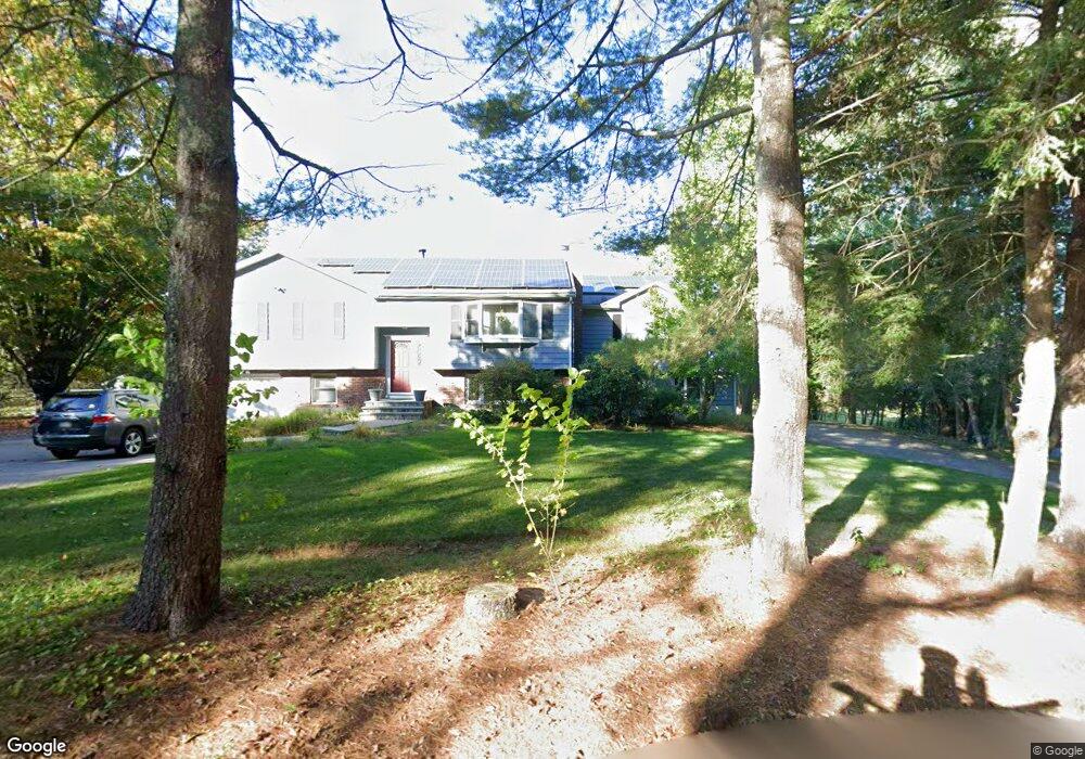
26 Holbrook St Norfolk, MA 02056
Estimated Value: $717,353 - $808,000
3
Beds
2
Baths
1,995
Sq Ft
$382/Sq Ft
Est. Value
About This Home
This home is located at 26 Holbrook St, Norfolk, MA 02056 and is currently estimated at $761,838, approximately $381 per square foot. 26 Holbrook St is a home located in Norfolk County with nearby schools including H. Olive Day School, Freeman-Kennedy School, and Woodside Montessori Academy.
Ownership History
Date
Name
Owned For
Owner Type
Purchase Details
Closed on
Sep 16, 1994
Sold by
Wolpers David W and Wolpers Mary N
Bought by
Breen Michael P
Current Estimated Value
Create a Home Valuation Report for This Property
The Home Valuation Report is an in-depth analysis detailing your home's value as well as a comparison with similar homes in the area
Home Values in the Area
Average Home Value in this Area
Purchase History
| Date | Buyer | Sale Price | Title Company |
|---|---|---|---|
| Breen Michael P | $175,267 | -- |
Source: Public Records
Mortgage History
| Date | Status | Borrower | Loan Amount |
|---|---|---|---|
| Open | Breen Michael P | $160,000 | |
| Closed | Breen Michael P | $150,000 | |
| Closed | Breen Michael P | $169,000 |
Source: Public Records
Tax History Compared to Growth
Tax History
| Year | Tax Paid | Tax Assessment Tax Assessment Total Assessment is a certain percentage of the fair market value that is determined by local assessors to be the total taxable value of land and additions on the property. | Land | Improvement |
|---|---|---|---|---|
| 2025 | $10,088 | $631,700 | $215,200 | $416,500 |
| 2024 | $9,124 | $586,000 | $215,200 | $370,800 |
| 2023 | $8,947 | $545,200 | $215,200 | $330,000 |
| 2022 | $9,378 | $515,300 | $201,600 | $313,700 |
| 2021 | $8,770 | $487,500 | $195,600 | $291,900 |
| 2020 | $8,114 | $435,300 | $177,800 | $257,500 |
| 2019 | $7,605 | $415,800 | $177,800 | $238,000 |
| 2018 | $7,089 | $380,700 | $177,800 | $202,900 |
| 2017 | $6,993 | $383,800 | $177,800 | $206,000 |
| 2016 | $6,852 | $379,000 | $177,800 | $201,200 |
| 2015 | $6,789 | $384,400 | $169,300 | $215,100 |
| 2014 | $6,751 | $387,300 | $169,300 | $218,000 |
Source: Public Records
Map
Nearby Homes
- 29 Wildwood Rd Unit 29
- 27 Whichita Rd
- 7 Malcolm St
- 10 Medway St
- 3 Elliot Mills Unit 3
- 6 Elliot Mills Unit 6
- 23 Algonquin Rd
- 8 Boyde's Crossing
- 8 Boyde's Crossing Unit 4
- 118 Main St
- 45 Meetinghouse Rd Unit 45
- 98 Myrtle St
- 16 Keeney Pond Rd
- 51 Thomas Mann Unit 30
- 53 Thomas Mann Cir Unit 31
- 57 Thomas Mann Cir Unit 57
- 63 Thomas Mann Cir Unit 36
- 37 Thomas Mann Cir Unit 23
- 18 Keeney Pond Rd
- 10 Stop River Rd