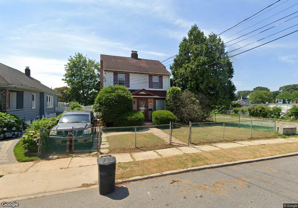
26 Holloway St Freeport, NY 11520
Estimated Value: $688,865 - $730,000
--
Bed
2
Baths
1,691
Sq Ft
$420/Sq Ft
Est. Value
About This Home
This home is located at 26 Holloway St, Freeport, NY 11520 and is currently estimated at $709,433, approximately $419 per square foot. 26 Holloway St is a home located in Nassau County with nearby schools including Roosevelt Middle School, Roosevelt High School, and Roosevelt Children's Academy.
Ownership History
Date
Name
Owned For
Owner Type
Purchase Details
Closed on
Jan 27, 2023
Sold by
Harris Earthella
Bought by
Harris Earthella and Shaw Laticea
Current Estimated Value
Purchase Details
Closed on
Apr 14, 2020
Sold by
Sinclair Charlene and Sinclair Allan
Bought by
Harris Earthella
Purchase Details
Closed on
Aug 19, 1999
Sold by
Harris Earthehella and Sinclair Allan Keith
Bought by
Harris Earthella
Create a Home Valuation Report for This Property
The Home Valuation Report is an in-depth analysis detailing your home's value as well as a comparison with similar homes in the area
Home Values in the Area
Average Home Value in this Area
Purchase History
| Date | Buyer | Sale Price | Title Company |
|---|---|---|---|
| Harris Earthella | -- | Fidelity Natl Ttl Ins Co Of | |
| Harris Earthella | -- | First American Title Ins Co | |
| Harris Earthella | -- | -- |
Source: Public Records
Tax History Compared to Growth
Tax History
| Year | Tax Paid | Tax Assessment Tax Assessment Total Assessment is a certain percentage of the fair market value that is determined by local assessors to be the total taxable value of land and additions on the property. | Land | Improvement |
|---|---|---|---|---|
| 2025 | $3,761 | $353 | $121 | $232 |
| 2024 | $522 | $353 | $121 | $232 |
| 2023 | $3,596 | $353 | $121 | $232 |
| 2022 | $3,596 | $351 | $121 | $230 |
| 2021 | $3,587 | $332 | $114 | $218 |
| 2020 | $3,587 | $508 | $275 | $233 |
| 2019 | $3,314 | $565 | $306 | $259 |
| 2018 | $3,513 | $565 | $0 | $0 |
| 2017 | $2,635 | $565 | $306 | $259 |
| 2016 | $3,327 | $565 | $306 | $259 |
| 2015 | $571 | $565 | $306 | $259 |
| 2014 | $571 | $565 | $306 | $259 |
| 2013 | $548 | $599 | $340 | $259 |
Source: Public Records
Map
Nearby Homes
- 93 Woodside Ave
- 32 Dawes Ave
- 110 Woodside Ave
- 54 Westfield Ave
- 18 Evans Ave
- 400 N Columbus Ave
- 19 Bennett Ave
- 92 Leonard Ave
- 28 Cumberland Ave
- 119 E Fulton Ave
- 16 Scherer Place
- 184 Independence Ave
- 152 Evans Ave
- 114 Frederick Ave
- 238 Babylon Turnpike
- 110 Saint Francis St
- 272 N Columbus Ave
- 259 N Columbus Ave
- 187 Moore Ave
- 112 E Seaman Ave