26 Howard Ln Boxborough, MA 01719
Estimated Value: $919,000 - $1,090,000
4
Beds
3
Baths
2,784
Sq Ft
$362/Sq Ft
Est. Value
About This Home
This home is located at 26 Howard Ln, Boxborough, MA 01719 and is currently estimated at $1,009,115, approximately $362 per square foot. 26 Howard Ln is a home located in Middlesex County with nearby schools including Acton-Boxborough Regional High School.
Ownership History
Date
Name
Owned For
Owner Type
Purchase Details
Closed on
Aug 23, 1996
Sold by
Curtis David A
Bought by
Ferraiolo Paul M and Ferraiolo Teresa Y
Current Estimated Value
Home Financials for this Owner
Home Financials are based on the most recent Mortgage that was taken out on this home.
Original Mortgage
$316,600
Interest Rate
8.4%
Mortgage Type
Purchase Money Mortgage
Create a Home Valuation Report for This Property
The Home Valuation Report is an in-depth analysis detailing your home's value as well as a comparison with similar homes in the area
Home Values in the Area
Average Home Value in this Area
Purchase History
| Date | Buyer | Sale Price | Title Company |
|---|---|---|---|
| Ferraiolo Paul M | $333,300 | -- |
Source: Public Records
Mortgage History
| Date | Status | Borrower | Loan Amount |
|---|---|---|---|
| Open | Ferraiolo Paul M | $229,401 | |
| Closed | Ferraiolo Paul M | $258,000 | |
| Closed | Ferraiolo Paul M | $316,600 | |
| Previous Owner | Ferraiolo Paul M | $100,000 |
Source: Public Records
Tax History
| Year | Tax Paid | Tax Assessment Tax Assessment Total Assessment is a certain percentage of the fair market value that is determined by local assessors to be the total taxable value of land and additions on the property. | Land | Improvement |
|---|---|---|---|---|
| 2025 | $13,799 | $911,400 | $317,400 | $594,000 |
| 2024 | $13,161 | $878,000 | $305,400 | $572,600 |
| 2023 | $11,631 | $749,400 | $263,700 | $485,700 |
| 2022 | $11,297 | $648,500 | $263,700 | $384,800 |
| 2020 | $4,567 | $599,000 | $263,700 | $335,300 |
| 2019 | $9,836 | $599,000 | $263,700 | $335,300 |
| 2018 | $9,560 | $581,500 | $251,700 | $329,800 |
| 2017 | $9,415 | $560,100 | $251,700 | $308,400 |
| 2016 | $9,189 | $561,700 | $251,700 | $310,000 |
| 2015 | $9,061 | $544,200 | $247,600 | $296,600 |
| 2014 | $9,692 | $547,900 | $247,600 | $300,300 |
Source: Public Records
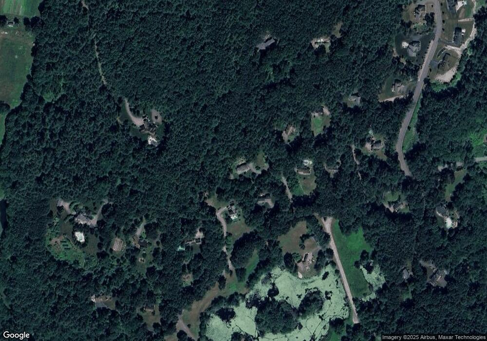
Map
Nearby Homes
- 77 Wheeler Dr Unit 77
- 20 Lyons Ln Unit 20
- 247 W Acton Rd
- 92 Willow St Unit 3
- 92 Willow St Unit 2
- 90 Willow St Unit 1
- 285 Central St Unit 285
- 30-6 Taylor Rd
- 8 Algonquin Rd
- 53 Sylvan Dr
- 71 Liberty St
- 15 Crescent St
- 414 Great Rd
- 60 Nashoba Rd
- 53 Swanson Ct Unit 24C
- 34 Meeting House Ln Unit 208
- 246 Main St Unit 2
- 15 Spencer Rd Unit 12E
- 19 Railroad St Unit D2
- 19 Railroad St Unit C2
- 20 Howard Ln
- 29 Bicentenial Way
- 29 Bicentennial Way
- 27 Howard Ln
- 23 Howard Ln
- Lot C Flagg Hill Rd
- Lot B Flagg Hill Rd
- 40 Bicentenial Way
- 30 Woodward Ln
- 66 Woodward Ln
- 356 Burroughs Rd
- 344 Flagg Hill Rd
- 344 Flagg Hill Rd
- 60 Bicentenial Way
- 33 Bicentenial Way
- 67 Woodward Ln
- 33 Woodward Ln
- 77 Woodward Ln
- 304 Flagg Hill Rd
- 304 Flag Hill Rd
Your Personal Tour Guide
Ask me questions while you tour the home.