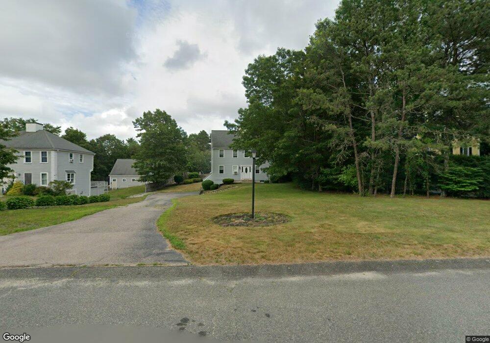
26 Jamies Path Plymouth, MA 02360
Estimated Value: $633,000 - $707,096
3
Beds
3
Baths
1,872
Sq Ft
$359/Sq Ft
Est. Value
About This Home
This home is located at 26 Jamies Path, Plymouth, MA 02360 and is currently estimated at $672,774, approximately $359 per square foot. 26 Jamies Path is a home located in Plymouth County with nearby schools including West Elementary School, Plymouth Community Intermediate, and Plymouth North High School.
Ownership History
Date
Name
Owned For
Owner Type
Purchase Details
Closed on
Dec 11, 1996
Sold by
Mushroom Rlty Llc and Brennan
Bought by
Nash Robert F and Nash Dianne M
Current Estimated Value
Purchase Details
Closed on
Aug 16, 1996
Sold by
Jamies Path T and Jamies Cotti
Bought by
Mushroom Realty Llc
Create a Home Valuation Report for This Property
The Home Valuation Report is an in-depth analysis detailing your home's value as well as a comparison with similar homes in the area
Home Values in the Area
Average Home Value in this Area
Purchase History
| Date | Buyer | Sale Price | Title Company |
|---|---|---|---|
| Nash Robert F | $174,400 | -- | |
| Mushroom Realty Llc | $49,000 | -- |
Source: Public Records
Mortgage History
| Date | Status | Borrower | Loan Amount |
|---|---|---|---|
| Open | Mushroom Realty Llc | $280,830 | |
| Closed | Mushroom Realty Llc | $230,300 | |
| Closed | Mushroom Realty Llc | $200,000 |
Source: Public Records
Tax History Compared to Growth
Tax History
| Year | Tax Paid | Tax Assessment Tax Assessment Total Assessment is a certain percentage of the fair market value that is determined by local assessors to be the total taxable value of land and additions on the property. | Land | Improvement |
|---|---|---|---|---|
| 2025 | $7,411 | $584,000 | $238,600 | $345,400 |
| 2024 | $7,135 | $554,400 | $226,600 | $327,800 |
| 2023 | $6,932 | $505,600 | $206,600 | $299,000 |
| 2022 | $6,314 | $409,200 | $186,400 | $222,800 |
| 2021 | $6,289 | $389,200 | $186,400 | $202,800 |
| 2020 | $6,200 | $379,200 | $176,400 | $202,800 |
| 2019 | $5,964 | $360,600 | $156,400 | $204,200 |
| 2018 | $5,888 | $357,700 | $153,600 | $204,100 |
| 2017 | $5,558 | $335,200 | $153,600 | $181,600 |
| 2016 | $5,395 | $331,600 | $148,400 | $183,200 |
| 2015 | $5,197 | $334,400 | $149,900 | $184,500 |
| 2014 | $4,851 | $320,600 | $149,900 | $170,700 |
Source: Public Records
Map
Nearby Homes
- 144 Industrial Park Rd
- 2 Mariner's Way Unit 301
- 16 Matty Ln
- 6 Stone Gate Dr
- 7 W Hill Rd
- 166 Carver Rd
- 16 Jan Marie Dr
- 15 Sansome St
- 16 Filmore St
- 62 Jan Marie Dr
- 57 Kristin Rd
- 116 Pilgrim Trail
- 3 Winter Hollow
- 91 Monks Hill Rd
- 198 Samoset St
- 235 Carver Rd Unit 7
- 44 Musket Rd
- 5 Marc Dr Unit 1
- 5 Marc Dr Unit 5
- 5 Marc Dr Unit 8
- 26 Jamie's Path
- 30 Jamies Path
- 24 Jamies Path
- 34 Jamies Path
- 20 Jamies Path
- 38 Jamies Path
- 27 Jamie's Path
- 16 Jamies Path
- 31 Jamies Path
- 27 Jamies Path
- 27 Jamies Path Unit 1
- 23 Jamies Path
- 19 Jamies Path
- 42 Jamies Path
- 35 Jamies Path
- 12 Jamies Path
- 39 Jamie's Path
- 15 Jamie's Path
- 39 Jamies Path
- 15 Jamies Path