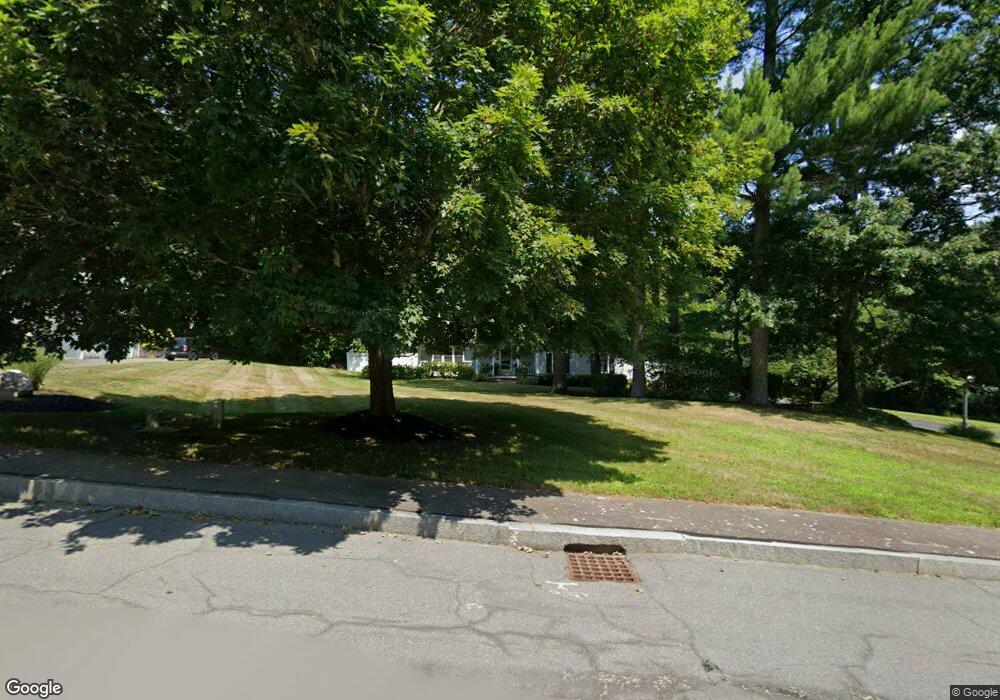
26 Jedediahs Path Marshfield, MA 02050
Estimated Value: $1,026,567 - $1,215,000
4
Beds
3
Baths
2,502
Sq Ft
$448/Sq Ft
Est. Value
About This Home
This home is located at 26 Jedediahs Path, Marshfield, MA 02050 and is currently estimated at $1,120,522, approximately $447 per square foot. 26 Jedediahs Path is a home located in Plymouth County with nearby schools including Martinson Elementary School, Furnace Brook Middle School, and Marshfield High School.
Ownership History
Date
Name
Owned For
Owner Type
Purchase Details
Closed on
Apr 5, 2007
Sold by
Natl Res Nt Svcs T
Bought by
Knapp Oberon and Knapp Jennifer
Current Estimated Value
Home Financials for this Owner
Home Financials are based on the most recent Mortgage that was taken out on this home.
Original Mortgage
$58,500
Outstanding Balance
$35,565
Interest Rate
6.25%
Mortgage Type
Purchase Money Mortgage
Estimated Equity
$1,084,957
Purchase Details
Closed on
Jan 19, 2007
Sold by
Groh David M and Groh Joan E
Bought by
National Res Nt Svcs T
Purchase Details
Closed on
Apr 11, 1997
Sold by
Ciping Rt and Ingham Richard B
Bought by
Groh Ii David M and Groh Joan E
Purchase Details
Closed on
Dec 20, 1996
Sold by
Blueberry Hill Nt and Bristol James E
Bought by
Ciping Rt and Ingham Richard B
Create a Home Valuation Report for This Property
The Home Valuation Report is an in-depth analysis detailing your home's value as well as a comparison with similar homes in the area
Home Values in the Area
Average Home Value in this Area
Purchase History
| Date | Buyer | Sale Price | Title Company |
|---|---|---|---|
| Knapp Oberon | $585,000 | -- | |
| Mass Res Nt Svcs T | -- | -- | |
| National Res Nt Svcs T | $639,000 | -- | |
| Groh Ii David M | $240,000 | -- | |
| Ciping Rt | $100,000 | -- |
Source: Public Records
Mortgage History
| Date | Status | Borrower | Loan Amount |
|---|---|---|---|
| Open | Ciping Rt | $58,500 | |
| Open | Ciping Rt | $468,000 | |
| Previous Owner | Ciping Rt | $25,000 |
Source: Public Records
Tax History
| Year | Tax Paid | Tax Assessment Tax Assessment Total Assessment is a certain percentage of the fair market value that is determined by local assessors to be the total taxable value of land and additions on the property. | Land | Improvement |
|---|---|---|---|---|
| 2025 | $9,219 | $931,200 | $370,400 | $560,800 |
| 2024 | $8,941 | $860,500 | $348,600 | $511,900 |
| 2023 | $8,380 | $760,500 | $313,700 | $446,800 |
| 2022 | $8,380 | $647,100 | $262,200 | $384,900 |
| 2021 | $8,054 | $610,600 | $262,200 | $348,400 |
| 2020 | $7,853 | $589,100 | $262,200 | $326,900 |
| 2019 | $7,617 | $569,300 | $262,200 | $307,100 |
| 2018 | $7,533 | $563,400 | $262,200 | $301,200 |
| 2017 | $7,011 | $511,000 | $229,500 | $281,500 |
| 2016 | $6,843 | $493,000 | $229,500 | $263,500 |
| 2015 | $6,472 | $487,000 | $229,500 | $257,500 |
| 2014 | $6,379 | $480,000 | $229,500 | $250,500 |
Source: Public Records
Map
Nearby Homes
- 480 Pleasant St
- 1 Valley Path
- 1155 Main St
- 60 Samuel Curtis Way
- 55 Macombers Way
- 889 Old Main Street Extension
- 32 Carolyn Cir
- 26 Damons Point Cir
- 3 Summer St
- 4 Summer St
- 95 Stony Brook Ln
- 848 Plain St Unit 41
- 848 Plain St Unit 23
- 451 School St Unit 2-5
- 451 School St Unit 5-2
- 9 Cushing Park Rd
- 10 Royal Dane Dr Unit 85
- 3 Harbor Ln
- 5 Royal Dane Dr Unit 45
- 566 Holly Rd
- 26 Jedediah's Path
- 34 Jedediahs Path
- 1577 Main St
- 1591 Main St
- 48 Jedediahs Path
- 31 Jedediahs Path
- 1595 Main St
- 41 Jedediahs Path
- 1555 Main St
- 1605 Main St
- 0 Jedediahs Path
- 0 Jedediahs Path Unit 71580080
- 53 Jedediahs Path
- 1184 Forest St
- 1541 Main St
- 1590 Main St
- 77 Jedediahs Path
- 1564 Main St
- 60 Jedediahs Path
- 68 Jedediahs Path
Your Personal Tour Guide
Ask me questions while you tour the home.