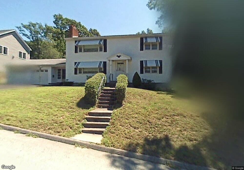
26 Jennings St Worcester, MA 01604
Grafton Hill NeighborhoodEstimated Value: $543,000 - $608,000
4
Beds
2
Baths
2,240
Sq Ft
$260/Sq Ft
Est. Value
About This Home
This home is located at 26 Jennings St, Worcester, MA 01604 and is currently estimated at $583,198, approximately $260 per square foot. 26 Jennings St is a home located in Worcester County with nearby schools including Roosevelt Elementary School, Jacob Hiatt Magnet School, and Chandler Magnet.
Ownership History
Date
Name
Owned For
Owner Type
Purchase Details
Closed on
Feb 16, 2022
Sold by
R A Dacri Irt 2011
Bought by
Hinson Sandra J
Current Estimated Value
Purchase Details
Closed on
Feb 22, 2011
Sold by
Dacri Rudolph A
Bought by
Rudolph A Dacri Irt and Dacri Rudolph A
Create a Home Valuation Report for This Property
The Home Valuation Report is an in-depth analysis detailing your home's value as well as a comparison with similar homes in the area
Home Values in the Area
Average Home Value in this Area
Purchase History
| Date | Buyer | Sale Price | Title Company |
|---|---|---|---|
| Hinson Sandra J | -- | None Available | |
| Hinson Sandra J | -- | None Available | |
| Rudolph A Dacri Irt | -- | -- | |
| Dacri Rudolph A | -- | -- |
Source: Public Records
Tax History Compared to Growth
Tax History
| Year | Tax Paid | Tax Assessment Tax Assessment Total Assessment is a certain percentage of the fair market value that is determined by local assessors to be the total taxable value of land and additions on the property. | Land | Improvement |
|---|---|---|---|---|
| 2025 | $6,813 | $516,500 | $119,300 | $397,200 |
| 2024 | $6,502 | $472,900 | $119,300 | $353,600 |
| 2023 | $6,076 | $423,700 | $103,700 | $320,000 |
| 2022 | $5,702 | $374,900 | $82,900 | $292,000 |
| 2021 | $5,184 | $318,400 | $66,400 | $252,000 |
| 2020 | $4,877 | $286,900 | $66,300 | $220,600 |
| 2019 | $4,900 | $272,200 | $59,900 | $212,300 |
| 2018 | $4,807 | $254,200 | $59,900 | $194,300 |
| 2017 | $4,590 | $238,800 | $59,900 | $178,900 |
| 2016 | $4,559 | $221,200 | $45,200 | $176,000 |
| 2015 | $4,439 | $221,200 | $45,200 | $176,000 |
| 2014 | $4,322 | $221,200 | $45,200 | $176,000 |
Source: Public Records
Map
Nearby Homes
- 11 Phoenix St
- 24 Benham St Unit B
- 63 Progressive St
- 65 Progressive St
- 119 Orton Street Extension
- 21 Middlesex Ave Unit 102
- 270 Sunderland Rd Unit 37
- 22 Anderson Ave
- 15 Anderson Ave
- 496 Hamilton St
- 340 Sunderland Rd Unit 23
- 4 Harold St
- 340 Hamilton St
- 360 Hamilton St
- 11 Benson St
- 330 Sunderland Rd Unit 78
- 330 Sunderland Rd Unit 87
- 53 Denver Terrace
- 25 Stoneham Rd
- 7 Atlas St
- 22 Jennings St
- 28 Jennings St
- 19B Jennings St
- 143 Commonwealth Ave
- 145 Commonwealth Ave
- 32 Jennings St
- 15 Jennings St
- 17A Jennings St
- 17B Jennings St
- 17 Jennings St
- 13 Jennings St
- 19 Jennings St
- 19A Jennings St
- 139B Commonwealth Ave
- 139 Commonwealth Ave
- 36 Jennings St
- 21 Jennings St
- 137D Commonwealth Ave
- 13 A&B Jennings
- 142 Commonwealth Ave