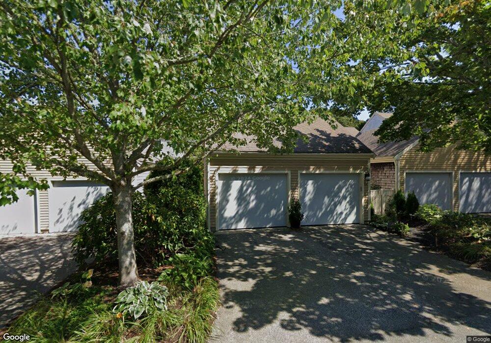
26 John Hall Cartway Yarmouth Port, MA 02675
Yarmouth Port NeighborhoodEstimated Value: $589,289 - $685,000
2
Beds
3
Baths
1,302
Sq Ft
$490/Sq Ft
Est. Value
About This Home
This home is located at 26 John Hall Cartway, Yarmouth Port, MA 02675 and is currently estimated at $637,572, approximately $489 per square foot. 26 John Hall Cartway is a home located in Barnstable County with nearby schools including Dennis-Yarmouth Regional High School.
Ownership History
Date
Name
Owned For
Owner Type
Purchase Details
Closed on
May 31, 2019
Sold by
Berglund Steven E and Berglund Kathleen N
Bought by
Guethlen Robert and Guethlen Diane
Current Estimated Value
Purchase Details
Closed on
Sep 28, 2016
Sold by
26 John Hall Cartway R
Bought by
Berglund Steven E and Berglund Kathleen N
Purchase Details
Closed on
Apr 9, 2008
Sold by
Peabody Wilbur L
Bought by
26 John Hall Cartway R
Purchase Details
Closed on
Jul 30, 1993
Sold by
Kings Way Prop Rt
Bought by
Peabody Wilbur L and Peabody Grace L
Create a Home Valuation Report for This Property
The Home Valuation Report is an in-depth analysis detailing your home's value as well as a comparison with similar homes in the area
Home Values in the Area
Average Home Value in this Area
Purchase History
| Date | Buyer | Sale Price | Title Company |
|---|---|---|---|
| Guethlen Robert | $449,000 | -- | |
| Berglund Steven E | $400,000 | -- | |
| 26 John Hall Cartway R | -- | -- | |
| 26 John Hall Cartway R | -- | -- | |
| Peabody Wilbur L | $191,400 | -- |
Source: Public Records
Tax History Compared to Growth
Tax History
| Year | Tax Paid | Tax Assessment Tax Assessment Total Assessment is a certain percentage of the fair market value that is determined by local assessors to be the total taxable value of land and additions on the property. | Land | Improvement |
|---|---|---|---|---|
| 2025 | $3,595 | $507,700 | $0 | $507,700 |
| 2024 | $4,173 | $565,400 | $0 | $565,400 |
| 2023 | $3,956 | $487,800 | $0 | $487,800 |
| 2022 | $3,902 | $425,000 | $0 | $425,000 |
| 2021 | $3,793 | $396,800 | $0 | $396,800 |
| 2020 | $3,648 | $364,800 | $0 | $364,800 |
| 2019 | $3,418 | $338,400 | $0 | $338,400 |
| 2018 | $3,482 | $338,400 | $0 | $338,400 |
| 2017 | $3,126 | $312,000 | $0 | $312,000 |
| 2016 | $2,982 | $298,800 | $0 | $298,800 |
| 2015 | $2,980 | $296,800 | $0 | $296,800 |
Source: Public Records
Map
Nearby Homes
- 50 John Hall Cartway
- 50 John Hall Cartway Unit 50
- 42 John Hall Cartway Unit 42
- 64 Kates Path
- 228 Kates Path
- 17 Kates Path Unit A
- 34 Kates Path
- 34 Kates Path Unit 34
- 7 Forest Gate Unit 7
- 43 Canterbury Rd
- 30 W Woods
- 30 W Woods Cir Unit 30
- 44 Stratford Ln
- 25 Oak Glen Village Unit 25
- 25 Oak Glen
- 51 Bray Farm Rd N
- 2 Pine Grove
- 59 Massachusetts 6a Unit 19-2
- 86 Pompano Rd
- 59 Main St Unit 19-2
- 24 John Hall Cartway
- 22 John Hall Cartway
- 24 John Hall Cartway Unit 24
- 24 John Hall Cartway Unit G
- 22 John Hall Cartpath Unit D
- 22 John Hall Cartway Unit D
- 26 John Hall Cartway Unit G
- 34 John Hall Cartway
- 32 John Hall Cartway
- 30 John Hall Cartway
- 32 John Hall Cartway Unit G
- 0 John Hall Cartway Unit 11J
- 32 John Halls Cartpath Unit 1
- 20 John Hall Cartway
- 18 John Hall Cartway
- 16 John Hall Cartway
- 14 John Hall Cartway
- 12 John Hall Cartway
- 14 John Hall Cartway Unit G
- 12 John Hall Cartway Unit 12