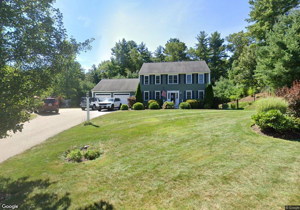
26 Kallio Path Pembroke, MA 02359
Estimated Value: $870,397 - $1,034,000
4
Beds
3
Baths
1,872
Sq Ft
$520/Sq Ft
Est. Value
About This Home
This home is located at 26 Kallio Path, Pembroke, MA 02359 and is currently estimated at $973,599, approximately $520 per square foot. 26 Kallio Path is a home with nearby schools including Pembroke High School.
Ownership History
Date
Name
Owned For
Owner Type
Purchase Details
Closed on
Nov 15, 2012
Sold by
K & G Dev Corp
Bought by
Conway John D and Conway Lynsey
Current Estimated Value
Home Financials for this Owner
Home Financials are based on the most recent Mortgage that was taken out on this home.
Original Mortgage
$350,348
Outstanding Balance
$238,611
Interest Rate
3.39%
Mortgage Type
New Conventional
Estimated Equity
$734,988
Create a Home Valuation Report for This Property
The Home Valuation Report is an in-depth analysis detailing your home's value as well as a comparison with similar homes in the area
Purchase History
| Date | Buyer | Sale Price | Title Company |
|---|---|---|---|
| Conway John D | $450,283 | -- |
Source: Public Records
Mortgage History
| Date | Status | Borrower | Loan Amount |
|---|---|---|---|
| Open | Conway John D | $350,348 |
Source: Public Records
Tax History
| Year | Tax Paid | Tax Assessment Tax Assessment Total Assessment is a certain percentage of the fair market value that is determined by local assessors to be the total taxable value of land and additions on the property. | Land | Improvement |
|---|---|---|---|---|
| 2025 | $9,477 | $788,400 | $325,400 | $463,000 |
| 2024 | $9,389 | $780,500 | $320,200 | $460,300 |
| 2023 | $8,859 | $696,500 | $295,400 | $401,100 |
| 2022 | $8,373 | $591,700 | $235,400 | $356,300 |
| 2021 | $8,373 | $574,300 | $230,200 | $344,100 |
| 2020 | $8,138 | $561,600 | $230,200 | $331,400 |
| 2019 | $7,808 | $534,800 | $220,200 | $314,600 |
| 2018 | $7,826 | $525,600 | $220,200 | $305,400 |
| 2017 | $7,079 | $468,800 | $205,400 | $263,400 |
| 2016 | $6,928 | $454,000 | $195,400 | $258,600 |
| 2015 | $6,545 | $444,000 | $185,400 | $258,600 |
Source: Public Records
Map
Nearby Homes
- 10 Fir Rd
- 59 Erikson Ln
- 290 School St
- 7 Andrew Dr
- 131 Elmer St
- 72 Old Cart Path Ln Unit Lot 2
- 26 Jessica Cir
- 78 Old Cart Path Ln Unit Lot 3
- 10 Mattakeesett Ave
- 77 Old Cart Path Ln Unit Lot 4
- 100 Valley St
- 14 Baltzer Dr
- 12 Herring Brook Ln
- 66 Wildwood Rd
- 148 High St
- 25 Little Brook Rd
- 32 Little Brook Rd
- 246 High St
- 143 Plymouth St
- 99 Old Washington St
Your Personal Tour Guide
Ask me questions while you tour the home.