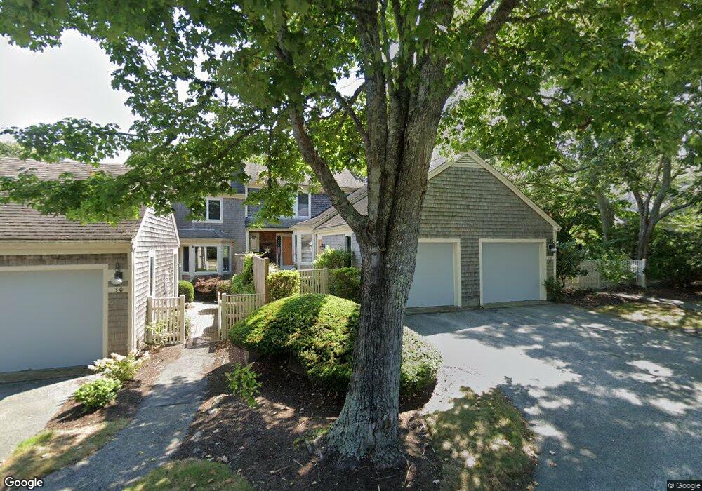
26 Kates Path Unit E Yarmouth Port, MA 02675
Yarmouth Port NeighborhoodEstimated Value: $621,000 - $694,000
2
Beds
3
Baths
2,097
Sq Ft
$311/Sq Ft
Est. Value
About This Home
This home is located at 26 Kates Path Unit E, Yarmouth Port, MA 02675 and is currently estimated at $653,056, approximately $311 per square foot. 26 Kates Path Unit E is a home located in Barnstable County with nearby schools including Dennis-Yarmouth Regional High School.
Ownership History
Date
Name
Owned For
Owner Type
Purchase Details
Closed on
Mar 6, 2020
Sold by
Frank M Ward 2000 Ft
Bought by
Sargeant Lois A
Current Estimated Value
Purchase Details
Closed on
May 2, 2011
Sold by
Macpherson Bruce A and Macpherson Carol
Bought by
Ward Francis M
Purchase Details
Closed on
Oct 4, 2000
Sold by
Dray Joanne M
Bought by
Macpherson Bruce A and Macpherson Carol
Purchase Details
Closed on
Sep 25, 1998
Sold by
Kirtland Grayson D and Kirtland Kitty Lou
Bought by
Dray Joanne M
Home Financials for this Owner
Home Financials are based on the most recent Mortgage that was taken out on this home.
Original Mortgage
$107,500
Interest Rate
6.87%
Mortgage Type
Purchase Money Mortgage
Create a Home Valuation Report for This Property
The Home Valuation Report is an in-depth analysis detailing your home's value as well as a comparison with similar homes in the area
Home Values in the Area
Average Home Value in this Area
Purchase History
| Date | Buyer | Sale Price | Title Company |
|---|---|---|---|
| Sargeant Lois A | $440,000 | None Available | |
| Ward Francis M | $390,000 | -- | |
| Macpherson Bruce A | $275,000 | -- | |
| Dray Joanne M | $215,000 | -- |
Source: Public Records
Mortgage History
| Date | Status | Borrower | Loan Amount |
|---|---|---|---|
| Previous Owner | Dray Joanne M | $107,500 |
Source: Public Records
Tax History Compared to Growth
Tax History
| Year | Tax Paid | Tax Assessment Tax Assessment Total Assessment is a certain percentage of the fair market value that is determined by local assessors to be the total taxable value of land and additions on the property. | Land | Improvement |
|---|---|---|---|---|
| 2025 | $3,810 | $538,100 | $0 | $538,100 |
| 2024 | $4,363 | $591,200 | $0 | $591,200 |
| 2023 | $3,289 | $405,500 | $0 | $405,500 |
| 2022 | $4,127 | $449,600 | $0 | $449,600 |
| 2021 | $4,017 | $420,200 | $0 | $420,200 |
| 2020 | $3,868 | $386,800 | $0 | $386,800 |
| 2019 | $3,628 | $359,200 | $0 | $359,200 |
| 2018 | $3,412 | $331,600 | $0 | $331,600 |
| 2017 | $3,184 | $317,800 | $0 | $317,800 |
| 2016 | $3,035 | $304,100 | $0 | $304,100 |
| 2015 | $2,957 | $294,500 | $0 | $294,500 |
Source: Public Records
Map
Nearby Homes
- 34 Kates Path
- 34 Kates Path Unit 34
- 17 Kates Path Unit A
- 228 Kates Path
- 64 Kates Path
- 43 Canterbury Rd
- 44 Stratford Ln
- 50 John Hall Cartway
- 50 John Hall Cartway Unit 50
- 25 Oak Glen Village Unit 25
- 25 Oak Glen
- 7 Forest Gate Unit 7
- 42 John Hall Cartway Unit 42
- 30 W Woods
- 30 W Woods Cir Unit 30
- 2 Pine Grove
- 86 Pompano Rd
- 51 Bray Farm Rd N
- 1 Barnacle Rd
- 6 Nimble Hill Dr
- 26 Kates Path
- 30 Kates Path
- 22 Kates Path
- 32 Kates Path
- 32 Kates Path Unit A
- 11 Kate's Path Unit 11
- 9 Kate's Unit 9
- 26 Kate's Path Unit 26
- 24 Kates Path
- 20 Kates Path
- 24 Kates Path
- 24 Kates Path Unit 24
- 20 Kates Path Unit 20
- 20 Kates Path Unit H
- 24 Kates Path Unit D
- 8 Kates Path
- 15 Kate's Path Unit 15
- 10 Kate's Path Unit 10
- 6 Kates Path
- 28 Kates Path