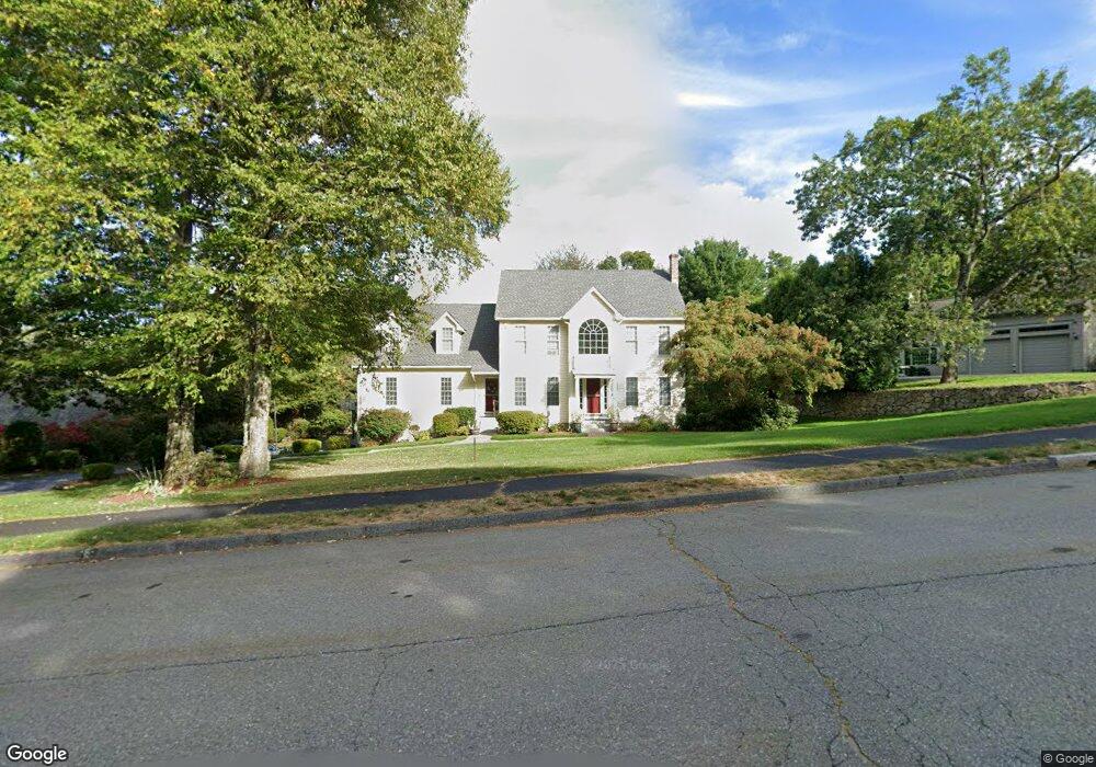
26 Kendall Hill Rd Unit 1 Leominster, MA 01453
Estimated Value: $751,189 - $930,000
4
Beds
3
Baths
3,500
Sq Ft
$236/Sq Ft
Est. Value
About This Home
This home is located at 26 Kendall Hill Rd Unit 1, Leominster, MA 01453 and is currently estimated at $825,547, approximately $235 per square foot. 26 Kendall Hill Rd Unit 1 is a home located in Worcester County with nearby schools including Leominster High School, St. Leo School, and St Bernards Elementary School.
Ownership History
Date
Name
Owned For
Owner Type
Purchase Details
Closed on
Jul 30, 2010
Sold by
Pierce Craig G and Pierce Renee P
Bought by
Pepin David N and Pepin Sylvia M
Current Estimated Value
Home Financials for this Owner
Home Financials are based on the most recent Mortgage that was taken out on this home.
Original Mortgage
$320,000
Outstanding Balance
$214,103
Interest Rate
4.78%
Mortgage Type
Purchase Money Mortgage
Estimated Equity
$611,444
Purchase Details
Closed on
Nov 5, 1997
Sold by
Nc Rt and Cohen Bertram M
Bought by
Pierce Craig G and Pierce Renee P
Create a Home Valuation Report for This Property
The Home Valuation Report is an in-depth analysis detailing your home's value as well as a comparison with similar homes in the area
Home Values in the Area
Average Home Value in this Area
Purchase History
| Date | Buyer | Sale Price | Title Company |
|---|---|---|---|
| Pepin David N | $400,000 | -- | |
| Pierce Craig G | $85,000 | -- |
Source: Public Records
Mortgage History
| Date | Status | Borrower | Loan Amount |
|---|---|---|---|
| Open | Pepin David N | $320,000 | |
| Previous Owner | Pierce Craig G | $205,000 | |
| Previous Owner | Pierce Craig G | $20,000 | |
| Previous Owner | Pierce Craig G | $10,000 |
Source: Public Records
Tax History Compared to Growth
Tax History
| Year | Tax Paid | Tax Assessment Tax Assessment Total Assessment is a certain percentage of the fair market value that is determined by local assessors to be the total taxable value of land and additions on the property. | Land | Improvement |
|---|---|---|---|---|
| 2025 | $9,215 | $656,800 | $212,000 | $444,800 |
| 2024 | $8,986 | $619,300 | $201,800 | $417,500 |
| 2023 | $8,510 | $547,600 | $175,600 | $372,000 |
| 2022 | $8,234 | $497,200 | $152,700 | $344,500 |
| 2021 | $8,095 | $446,500 | $119,100 | $327,400 |
| 2020 | $7,888 | $438,700 | $119,100 | $319,600 |
| 2019 | $7,803 | $420,900 | $120,900 | $300,000 |
| 2018 | $7,807 | $403,900 | $110,100 | $293,800 |
| 2017 | $7,620 | $386,200 | $102,700 | $283,500 |
| 2016 | $7,554 | $385,800 | $102,700 | $283,100 |
| 2015 | $6,952 | $357,600 | $102,700 | $254,900 |
| 2014 | $6,885 | $364,500 | $109,500 | $255,000 |
Source: Public Records
Map
Nearby Homes
- 26 Kendall Hill Rd
- 34 Kendall Hill Rd
- 18 Kendall Hill Rd
- 15 Olde Tavern Rd
- 44 Kendall Hill Rd
- 29 Kendall Hill Rd
- 35 Kendall Hill Rd
- 21 Olde Tavern Rd
- 43 Kendall Hill Rd
- 23 Kendall Hill Rd
- 746 West St
- 17 Kendall Hill Rd
- 52 Kendall Hill Rd
- 51 Kendall Hill Rd
- 18 Olde Tavern Rd
- 51 Kendall Hill Rd
- 27 Olde Tavern Rd
- 155 Olde Tavern Rd
- 16 Olde Tavern Rd
- 149 Olde Tavern Rd