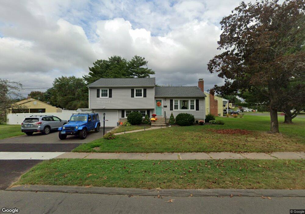
26 Kimberly Rd West Hartford, CT 06107
Estimated Value: $451,000 - $489,192
3
Beds
3
Baths
1,244
Sq Ft
$378/Sq Ft
Est. Value
About This Home
This home is located at 26 Kimberly Rd, West Hartford, CT 06107 and is currently estimated at $470,548, approximately $378 per square foot. 26 Kimberly Rd is a home located in Hartford County with nearby schools including Webster Hill School, Sedgwick Middle School, and Conard High School.
Ownership History
Date
Name
Owned For
Owner Type
Purchase Details
Closed on
Oct 23, 2023
Sold by
Wotton Kirsten
Bought by
Bienkowski Shannon and Fleming Zachary S
Current Estimated Value
Home Financials for this Owner
Home Financials are based on the most recent Mortgage that was taken out on this home.
Original Mortgage
$331,500
Outstanding Balance
$325,055
Interest Rate
7.18%
Mortgage Type
Purchase Money Mortgage
Estimated Equity
$145,493
Purchase Details
Closed on
Aug 10, 2007
Sold by
Lemieux Yvon
Bought by
Batayte Kirsten
Purchase Details
Closed on
Oct 4, 2002
Sold by
Lemieux Marguerite
Bought by
Lemieux Yvon
Create a Home Valuation Report for This Property
The Home Valuation Report is an in-depth analysis detailing your home's value as well as a comparison with similar homes in the area
Home Values in the Area
Average Home Value in this Area
Purchase History
| Date | Buyer | Sale Price | Title Company |
|---|---|---|---|
| Bienkowski Shannon | $400,000 | None Available | |
| Batayte Kirsten | $257,500 | -- | |
| Lemieux Yvon | $160,000 | -- |
Source: Public Records
Mortgage History
| Date | Status | Borrower | Loan Amount |
|---|---|---|---|
| Open | Bienkowski Shannon | $331,500 | |
| Previous Owner | Lemieux Yvon | $200,000 | |
| Previous Owner | Lemieux Yvon | $200,000 | |
| Previous Owner | Lemieux Yvon | $50,000 |
Source: Public Records
Tax History Compared to Growth
Tax History
| Year | Tax Paid | Tax Assessment Tax Assessment Total Assessment is a certain percentage of the fair market value that is determined by local assessors to be the total taxable value of land and additions on the property. | Land | Improvement |
|---|---|---|---|---|
| 2025 | $9,360 | $209,020 | $70,910 | $138,110 |
| 2024 | $8,852 | $209,020 | $70,910 | $138,110 |
| 2023 | $8,553 | $209,020 | $70,910 | $138,110 |
| 2022 | $8,503 | $209,020 | $70,910 | $138,110 |
| 2021 | $7,343 | $173,110 | $66,430 | $106,680 |
| 2020 | $6,782 | $162,260 | $62,160 | $100,100 |
| 2019 | $6,782 | $162,260 | $62,160 | $100,100 |
| 2018 | $6,653 | $162,260 | $62,160 | $100,100 |
| 2017 | $6,659 | $162,260 | $62,160 | $100,100 |
| 2016 | $6,436 | $162,890 | $59,360 | $103,530 |
| 2015 | $6,240 | $162,890 | $59,360 | $103,530 |
| 2014 | $6,087 | $162,890 | $59,360 | $103,530 |
Source: Public Records
Map
Nearby Homes
- 96 Bentwood Rd
- 422 S Main St
- 1 Valley Crest Dr
- 32 Miles Standish Dr
- 39 Cortland St
- 24 Thorne Rd Unit 24
- 34 Sandhurst Dr
- 18 Federal St
- 39 Pheasant Hill Dr
- 479 S Main St
- 236 Ridgewood Rd
- 61 Colonial St
- 49 Somerset St
- 1145 New Britain Ave
- 90 Park Place Cir Unit 90
- 49 Park Place Cir Unit 49
- 107 Westgate St
- 394 Trout Brook Dr
- 17 Parkview Rd
- 204 Trout Brook Dr