26 Knightsbridge Ln Hilton Head Island, SC 29928
Wexford NeighborhoodEstimated Value: $2,561,000 - $3,906,000
4
Beds
14
Baths
5,974
Sq Ft
$556/Sq Ft
Est. Value
About This Home
This home is located at 26 Knightsbridge Ln, Hilton Head Island, SC 29928 and is currently estimated at $3,321,925, approximately $556 per square foot. 26 Knightsbridge Ln is a home located in Beaufort County with nearby schools including Hilton Head Island Early Childhood Center, Hilton Head Island Elementary School, and Hilton Head Island Middle School.
Ownership History
Date
Name
Owned For
Owner Type
Purchase Details
Closed on
Nov 25, 2013
Sold by
Estate Of Helen Lorraine Shepard and Shepard Jeffrey A
Bought by
Shepard Jeffrey A and Helen L Shepard Revocable Trust
Current Estimated Value
Purchase Details
Closed on
May 31, 2011
Sold by
Shepard Jeffrey A and Shepard Helen L
Bought by
Shepard Jeffrey A and Shepard Helen L
Purchase Details
Closed on
Mar 14, 2003
Sold by
Hoisington Robert S
Bought by
Shepard Jeffrey A and Shepard Helen L
Purchase Details
Closed on
Apr 24, 2001
Sold by
Propes James R and Propes Opal E
Bought by
Hoisington Robert S
Home Financials for this Owner
Home Financials are based on the most recent Mortgage that was taken out on this home.
Original Mortgage
$393,250
Interest Rate
8.5%
Create a Home Valuation Report for This Property
The Home Valuation Report is an in-depth analysis detailing your home's value as well as a comparison with similar homes in the area
Home Values in the Area
Average Home Value in this Area
Purchase History
| Date | Buyer | Sale Price | Title Company |
|---|---|---|---|
| Shepard Jeffrey A | -- | -- | |
| Shepard Jeffrey A | -- | -- | |
| Shepard Jeffrey A | $720,000 | -- | |
| Hoisington Robert S | $345,000 | -- |
Source: Public Records
Mortgage History
| Date | Status | Borrower | Loan Amount |
|---|---|---|---|
| Previous Owner | Hoisington Robert S | $393,250 |
Source: Public Records
Tax History Compared to Growth
Tax History
| Year | Tax Paid | Tax Assessment Tax Assessment Total Assessment is a certain percentage of the fair market value that is determined by local assessors to be the total taxable value of land and additions on the property. | Land | Improvement |
|---|---|---|---|---|
| 2024 | $11,939 | $135,884 | $26,400 | $109,484 |
| 2023 | $11,939 | $135,884 | $26,400 | $109,484 |
| 2022 | $10,997 | $85,844 | $28,248 | $57,596 |
| 2021 | $11,405 | $85,844 | $28,248 | $57,596 |
| 2020 | $11,353 | $85,844 | $28,248 | $57,596 |
| 2019 | $10,942 | $85,844 | $28,248 | $57,596 |
| 2018 | $10,702 | $85,840 | $0 | $0 |
| 2017 | $9,666 | $76,580 | $0 | $0 |
| 2016 | $8,991 | $76,580 | $0 | $0 |
| 2014 | $9,259 | $76,580 | $0 | $0 |
Source: Public Records
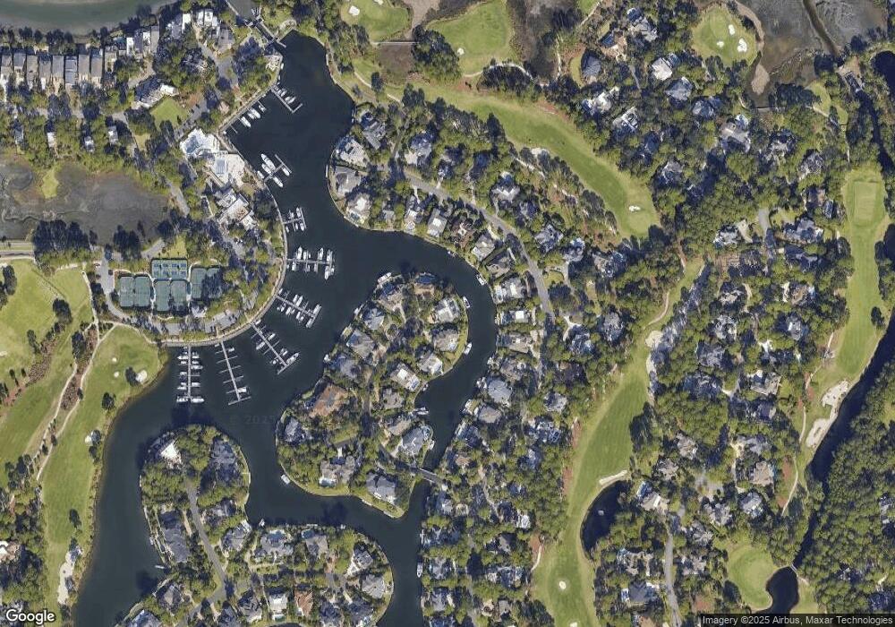
Map
Nearby Homes
- 40 Bridgetown Rd
- 107 Wexford Club Dr
- 65 Yorkshire Dr
- 80 Bridgetown Ln
- 35 Wexford On the Green
- 32 Wexford On the Green
- 11 Foot Point Rd
- 46 Wexford Club Dr
- 6 Berkshire Ct
- 10 Foot Point Rd
- 8 Roxbury Cir
- 15 Harrogate Dr
- 18 Wexford Club Dr
- 8 Fairfax Ln
- 27 Wexford Dr
- 25 Long Brow Rd
- 1 Long Brow Rd
- 7 Oakman Branch Rd
- 2 Oakman Branch Rd
- 35 Arrow Rd
- 27 Knightsbridge Ln
- 22 Knightsbridge Ln
- 25 Knightsbridge Ln
- 49 Bridgetown Rd
- 51 Bridgetown Rd
- 23 Knightsbridge Ln
- 45 Bridgetown Rd
- 53 Bridgetown Rd
- 20 Knightsbridge Ln
- 39 Bridgetown Rd
- 55 Bridgetown Rd
- 37 Bridgetown Rd
- 57 Bridgetown Rd
- 21 Knightsbridge Ln
- 18 Knightsbridge Ln
- 59 Bridgetown Rd
- 33 Bridgetown Rd
- 19 Knightsbridge Ln
- 61 Bridgetown Rd
- 6 Knightsbridge Ln