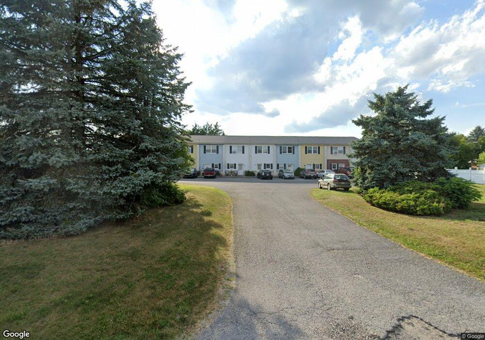
26 Locust St Gettysburg, PA 17325
Estimated Value: $283,000 - $382,000
3
Beds
1
Bath
768
Sq Ft
$429/Sq Ft
Est. Value
About This Home
This home is located at 26 Locust St, Gettysburg, PA 17325 and is currently estimated at $329,312, approximately $428 per square foot. 26 Locust St is a home located in Adams County with nearby schools including Rolling Acres El School, Maple Avenue Middle School, and Littlestown Senior High School.
Ownership History
Date
Name
Owned For
Owner Type
Purchase Details
Closed on
Feb 24, 2006
Sold by
Miller Dennis F and Miller Gloria J
Bought by
Hormes Cullen H
Current Estimated Value
Home Financials for this Owner
Home Financials are based on the most recent Mortgage that was taken out on this home.
Original Mortgage
$60,000
Outstanding Balance
$33,869
Interest Rate
6.15%
Mortgage Type
Purchase Money Mortgage
Estimated Equity
$295,443
Create a Home Valuation Report for This Property
The Home Valuation Report is an in-depth analysis detailing your home's value as well as a comparison with similar homes in the area
Home Values in the Area
Average Home Value in this Area
Purchase History
| Date | Buyer | Sale Price | Title Company |
|---|---|---|---|
| Hormes Cullen H | $254,900 | -- |
Source: Public Records
Mortgage History
| Date | Status | Borrower | Loan Amount |
|---|---|---|---|
| Open | Hormes Cullen H | $60,000 |
Source: Public Records
Tax History Compared to Growth
Tax History
| Year | Tax Paid | Tax Assessment Tax Assessment Total Assessment is a certain percentage of the fair market value that is determined by local assessors to be the total taxable value of land and additions on the property. | Land | Improvement |
|---|---|---|---|---|
| 2025 | $5,308 | $215,700 | $148,500 | $67,200 |
| 2024 | $4,425 | $215,700 | $148,500 | $67,200 |
| 2023 | $4,294 | $215,700 | $148,500 | $67,200 |
| 2022 | $4,158 | $215,700 | $148,500 | $67,200 |
| 2021 | $4,023 | $215,700 | $148,500 | $67,200 |
| 2020 | $4,219 | $215,700 | $148,500 | $67,200 |
| 2019 | $4,132 | $215,700 | $148,500 | $67,200 |
| 2018 | $3,815 | $215,700 | $148,500 | $67,200 |
| 2017 | $3,708 | $215,700 | $148,500 | $67,200 |
| 2016 | -- | $215,700 | $148,500 | $67,200 |
| 2015 | -- | $215,700 | $148,500 | $67,200 |
| 2014 | -- | $215,700 | $148,500 | $67,200 |
Source: Public Records
Map
Nearby Homes
- 27 Maple St
- 8 Maple St
- 4 E Hanover St
- 89 Maple St Unit 68
- 34 W Hanover St
- 48 Cannon Ln Unit 105
- 25 Harvest Dr
- 1 Hickory Ave
- 67 Cedarfield Dr
- 138 Cedarfield Dr Unit 71
- 230 W Crest View Ln
- 549 Grant Dr Unit 549
- 824 Hancock Dr Unit 824
- 871 Sherman Dr Unit 871
- 729 Heritage Dr Unit 729
- 820 Storms Store Rd
- 464 Locust Ln
- 795 Burnside Dr Unit 795
- 198 Longstreet Dr Unit 198
- 279 Longstreet Dr Unit 279
- 28 Locust St
- 22 Locust St
- 30 Locust St
- 20 Locust St
- 11 Winter Dr Unit 76
- 11 Winter Dr
- 16 Locust St
- 9 Winter Dr Unit 75
- 7 Winter Dr Unit 74
- 32 Locust St
- 17 Locust St
- 13 Winter Dr Unit 77
- 15 Locust St
- 34 Locust St
- 5 Winter Dr Unit 73
- 11 Locust St
- 102 Jessica Dr Unit 11
- 8 Winter Dr
- 110 Jessica Dr Unit 10
- 3 Winter Dr Unit 72