26 Log Cabin Rd Ashburnham, MA 01430
Estimated Value: $363,000 - $399,412
2
Beds
--
Bath
600
Sq Ft
$635/Sq Ft
Est. Value
About This Home
This home is located at 26 Log Cabin Rd, Ashburnham, MA 01430 and is currently estimated at $381,206, approximately $635 per square foot. 26 Log Cabin Rd is a home located in Worcester County with nearby schools including Oakmont Regional High School.
Create a Home Valuation Report for This Property
The Home Valuation Report is an in-depth analysis detailing your home's value as well as a comparison with similar homes in the area
Home Values in the Area
Average Home Value in this Area
Tax History Compared to Growth
Tax History
| Year | Tax Paid | Tax Assessment Tax Assessment Total Assessment is a certain percentage of the fair market value that is determined by local assessors to be the total taxable value of land and additions on the property. | Land | Improvement |
|---|---|---|---|---|
| 2025 | $3,606 | $242,500 | $204,900 | $37,600 |
| 2024 | $3,845 | $244,100 | $206,500 | $37,600 |
| 2023 | $4,003 | $241,900 | $207,400 | $34,500 |
| 2022 | $3,889 | $206,000 | $170,100 | $35,900 |
| 2021 | $4,275 | $200,300 | $168,700 | $31,600 |
| 2020 | $4,026 | $200,300 | $168,700 | $31,600 |
| 2019 | $4,679 | $184,800 | $157,700 | $27,100 |
| 2018 | $1,923 | $173,600 | $148,800 | $24,800 |
| 2017 | $3,257 | $141,800 | $117,600 | $24,200 |
| 2016 | $3,183 | $139,900 | $115,700 | $24,200 |
| 2015 | $3,126 | $140,300 | $116,100 | $24,200 |
Source: Public Records
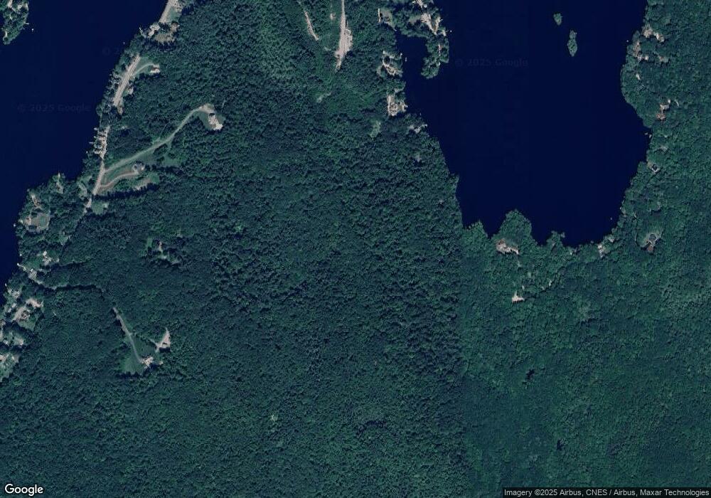
Map
Nearby Homes
- 152 Ashby Rd
- 0 Rindge Turnpike
- 101 Russell Hill Rd
- 57 Ashby Rd
- 30 Russell Hill Rd
- 151 Wilker Rd
- 18 Main St
- 44 Rindge State Rd
- Lot 3 W State Rd
- 2409 W State Rd
- 100 Main St
- 9 Willard Rd
- 189 Fitchburg Rd
- 136 Willard Rd
- 72 Park Rd
- 36 Hillandale Rd
- 38 Hemlock Rd
- 137 Deer Bay Rd
- Lot 40C Winchendon Rd
- 705 Richardson Rd