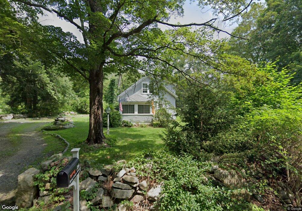
26 Long Ridge Rd Redding, CT 06896
Estimated Value: $429,000 - $492,000
2
Beds
2
Baths
1,166
Sq Ft
$393/Sq Ft
Est. Value
About This Home
This home is located at 26 Long Ridge Rd, Redding, CT 06896 and is currently estimated at $458,615, approximately $393 per square foot. 26 Long Ridge Rd is a home located in Fairfield County with nearby schools including Redding Elementary School, John Read Middle School, and Joel Barlow High School.
Ownership History
Date
Name
Owned For
Owner Type
Purchase Details
Closed on
Aug 2, 2011
Sold by
Rowan Suzanne A
Bought by
Rowan Peter B
Current Estimated Value
Purchase Details
Closed on
Oct 1, 2003
Sold by
Balding William and Mcguckian Elizabeth Mc
Bought by
Rowan Peter and Rowan Suzanne
Home Financials for this Owner
Home Financials are based on the most recent Mortgage that was taken out on this home.
Original Mortgage
$255,000
Interest Rate
6.25%
Create a Home Valuation Report for This Property
The Home Valuation Report is an in-depth analysis detailing your home's value as well as a comparison with similar homes in the area
Home Values in the Area
Average Home Value in this Area
Purchase History
| Date | Buyer | Sale Price | Title Company |
|---|---|---|---|
| Rowan Peter B | -- | -- | |
| Rowan Peter | $283,750 | -- |
Source: Public Records
Mortgage History
| Date | Status | Borrower | Loan Amount |
|---|---|---|---|
| Previous Owner | Rowan Peter | $128,700 | |
| Previous Owner | Rowan Peter | $255,000 |
Source: Public Records
Tax History Compared to Growth
Tax History
| Year | Tax Paid | Tax Assessment Tax Assessment Total Assessment is a certain percentage of the fair market value that is determined by local assessors to be the total taxable value of land and additions on the property. | Land | Improvement |
|---|---|---|---|---|
| 2025 | $7,211 | $244,100 | $122,800 | $121,300 |
| 2024 | $7,011 | $244,100 | $122,800 | $121,300 |
| 2023 | $6,759 | $244,100 | $122,800 | $121,300 |
| 2022 | $6,695 | $200,800 | $130,300 | $70,500 |
| 2021 | $17,612 | $200,800 | $130,300 | $70,500 |
| 2020 | $6,594 | $200,800 | $130,300 | $70,500 |
| 2019 | $17,225 | $200,800 | $130,300 | $70,500 |
| 2018 | $6,369 | $200,800 | $130,300 | $70,500 |
| 2017 | $5,791 | $195,500 | $130,300 | $65,200 |
| 2016 | $5,716 | $195,500 | $130,300 | $65,200 |
| 2015 | $5,652 | $195,500 | $130,300 | $65,200 |
| 2014 | $5,652 | $195,500 | $130,300 | $65,200 |
Source: Public Records
Map
Nearby Homes
- 9 Chuck Wagon Ln
- 155 Long Ridge Rd
- 61 Marchant Rd
- 151 Long Ridge Rd
- 81 Picketts Ridge Rd
- 7 Guardhouse Dr
- 176 Picketts Ridge Rd
- 24 Costa Ln
- 145 Limekiln Rd
- 229 Umpawaug Rd
- 29 Carol St
- 27 Carol St
- 87 Carol St
- 4 Alan Rd
- 633 Danbury Rd Unit 21
- 134 Nashville Rd
- 46 Tally Ho Rd
- 90 Old Stagecoach Rd
- 193 Chestnut Ridge Rd
- 89 Knollwood Dr
- 28 Long Ridge Rd
- 27 Long Ridge Rd
- 30 Long Ridge Rd
- 3 Howes Ln
- 19 Long Ridge Rd
- 6 Howes Ln
- 17 Long Ridge Rd
- 9 Howes Ln
- 8 Deer Spring Rd
- 18 Long Ridge Rd
- 15 Long Ridge Rd
- 16 Long Ridge Rd
- 14 1/2 Long Ridge Rd
- 11 Howes Ln
- 39 Long Ridge Rd
- 11 Long Ridge Rd
- 9 Long Ridge Rd
- 12 Howes Ln
- 43 Long Ridge Rd
- 17 Deer Spring Rd