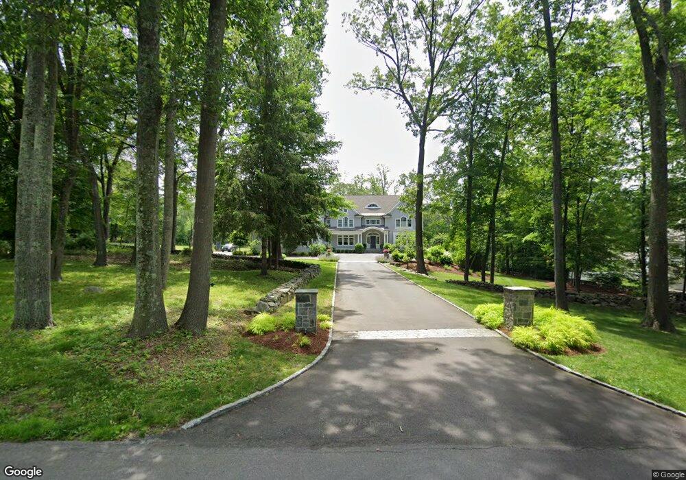
26 Ludlowe Rd New Canaan, CT 06840
Estimated Value: $3,812,356 - $5,092,000
5
Beds
8
Baths
6,508
Sq Ft
$672/Sq Ft
Est. Value
About This Home
This home is located at 26 Ludlowe Rd, New Canaan, CT 06840 and is currently estimated at $4,374,339, approximately $672 per square foot. 26 Ludlowe Rd is a home located in Fairfield County with nearby schools including East Elementary School, Saxe Middle School, and New Canaan High School.
Ownership History
Date
Name
Owned For
Owner Type
Purchase Details
Closed on
Dec 10, 2018
Sold by
Deshpande Nitin and Deshpande Varsha
Bought by
Budnick Heather
Current Estimated Value
Purchase Details
Closed on
Jul 8, 2005
Sold by
Tufts Frederick L and Tufts Julianna S
Bought by
Budnick Adam E and Budnick Heather C F
Create a Home Valuation Report for This Property
The Home Valuation Report is an in-depth analysis detailing your home's value as well as a comparison with similar homes in the area
Home Values in the Area
Average Home Value in this Area
Purchase History
| Date | Buyer | Sale Price | Title Company |
|---|---|---|---|
| Budnick Heather | -- | -- | |
| Budnick Adam E | $1,772,562 | -- |
Source: Public Records
Mortgage History
| Date | Status | Borrower | Loan Amount |
|---|---|---|---|
| Previous Owner | Budnick Adam E | $950,000 | |
| Previous Owner | Budnick Adam E | $700,000 |
Source: Public Records
Tax History Compared to Growth
Tax History
| Year | Tax Paid | Tax Assessment Tax Assessment Total Assessment is a certain percentage of the fair market value that is determined by local assessors to be the total taxable value of land and additions on the property. | Land | Improvement |
|---|---|---|---|---|
| 2025 | $43,904 | $2,630,530 | $711,900 | $1,918,630 |
| 2024 | $42,457 | $2,630,530 | $711,900 | $1,918,630 |
| 2023 | $35,899 | $1,895,390 | $682,430 | $1,212,960 |
| 2022 | $34,818 | $1,895,390 | $682,430 | $1,212,960 |
| 2021 | $34,420 | $1,895,390 | $682,430 | $1,212,960 |
| 2020 | $34,420 | $1,895,390 | $682,430 | $1,212,960 |
| 2019 | $34,572 | $1,895,390 | $682,430 | $1,212,960 |
| 2018 | $37,804 | $2,229,010 | $758,310 | $1,470,700 |
| 2017 | $37,158 | $2,229,010 | $758,310 | $1,470,700 |
| 2016 | $36,355 | $2,229,010 | $758,310 | $1,470,700 |
| 2015 | $20,465 | $1,235,780 | $758,310 | $477,470 |
| 2014 | $17,409 | $1,120,280 | $758,310 | $361,970 |
Source: Public Records
Map
Nearby Homes
- 49 Ludlowe Rd
- 240 Rosebrook Rd
- 262 Brushy Ridge Rd
- 114 Ferris Hill Rd
- 52 Garibaldi Ln
- 67 Carter St
- 30L Huckleberry Hill Rd
- 61 Smith Ridge Rd
- 145 River St
- 101 Parade Hill Rd
- 136L Carter St
- 48 Brookwood Ln
- 140L Carter St
- 152L Carter St
- 122 Brookwood Ln
- 158L Carter St
- 561 Smith Ridge Rd
- 204 Parade Hill Rd
- 289 New Norwalk Rd Unit 22
- 85 Locust Ave Unit 516
- 254 Canoe Hill Rd
- 46 Ludlowe Rd
- 62 Ludlowe Rd
- 12 Ludlowe Rd
- 228 Canoe Hill Rd
- 238 Canoe Hill Rd
- 238 Canoe Hill Rd
- 302 Canoe Hill Rd
- 64 Ludlowe Rd
- 392 Brushy Ridge Rd
- 68 Ludlowe Rd
- 322 Canoe Hill Rd
- 78 Bittersweet Ln
- 219 Canoe Hill Rd
- 77 Ludlowe Rd
- 394 Brushy Ridge Rd
- 84 Bittersweet Ln
- 390 Brushy Ridge Rd
- 348 Canoe Hill Rd
- 95 Ludlowe Rd