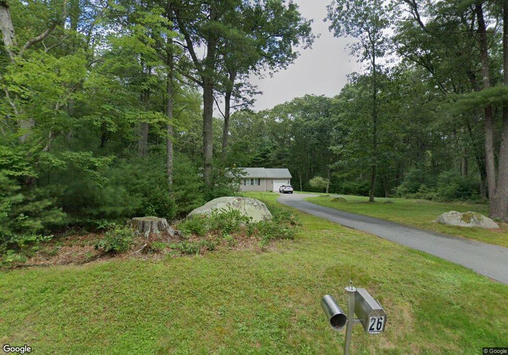
26 Maguire Ln West Greenwich, RI 02817
Estimated Value: $485,920 - $569,000
2
Beds
2
Baths
1,196
Sq Ft
$435/Sq Ft
Est. Value
About This Home
This home is located at 26 Maguire Ln, West Greenwich, RI 02817 and is currently estimated at $519,730, approximately $434 per square foot. 26 Maguire Ln is a home located in Kent County with nearby schools including Mildred E. Lineham School, Metcalf School, and Wawaloam School.
Ownership History
Date
Name
Owned For
Owner Type
Purchase Details
Closed on
Mar 3, 2023
Sold by
Vincent Scott A and Vincent Michelle M
Bought by
Vincent Michelle M
Current Estimated Value
Purchase Details
Closed on
Aug 3, 2006
Sold by
Maguire Robert H
Bought by
Maguire Michaelle M
Home Financials for this Owner
Home Financials are based on the most recent Mortgage that was taken out on this home.
Original Mortgage
$140,000
Interest Rate
6.7%
Mortgage Type
Purchase Money Mortgage
Create a Home Valuation Report for This Property
The Home Valuation Report is an in-depth analysis detailing your home's value as well as a comparison with similar homes in the area
Home Values in the Area
Average Home Value in this Area
Purchase History
| Date | Buyer | Sale Price | Title Company |
|---|---|---|---|
| Vincent Michelle M | -- | None Available | |
| Maguire Michaelle M | $175,000 | -- |
Source: Public Records
Mortgage History
| Date | Status | Borrower | Loan Amount |
|---|---|---|---|
| Previous Owner | Maguire Michaelle M | $140,000 | |
| Previous Owner | Maguire Michaelle M | $266,250 |
Source: Public Records
Tax History Compared to Growth
Tax History
| Year | Tax Paid | Tax Assessment Tax Assessment Total Assessment is a certain percentage of the fair market value that is determined by local assessors to be the total taxable value of land and additions on the property. | Land | Improvement |
|---|---|---|---|---|
| 2025 | $6,307 | $394,200 | $171,500 | $222,700 |
| 2024 | $6,307 | $394,200 | $171,500 | $222,700 |
| 2023 | $7,113 | $290,200 | $131,900 | $158,300 |
| 2022 | $7,113 | $290,200 | $131,900 | $158,300 |
| 2021 | $6,974 | $290,200 | $131,900 | $158,300 |
| 2020 | $6,904 | $290,200 | $131,900 | $158,300 |
| 2019 | $6,753 | $279,400 | $131,900 | $147,500 |
| 2018 | $5,867 | $247,600 | $110,600 | $137,000 |
| 2017 | $5,583 | $247,600 | $110,600 | $137,000 |
| 2016 | $5,340 | $236,800 | $95,400 | $141,400 |
| 2015 | $5,340 | $236,800 | $95,400 | $141,400 |
| 2013 | $5,491 | $243,500 | $105,000 | $138,500 |
Source: Public Records
Map
Nearby Homes
- 10 Fellowship Ct
- 417 Victory Hwy
- 449 Victory Hwy
- 102 Robin Hollow Rd
- 550 Twin Brook Ln
- 281 Richardson Rd
- 01 Stubble Brook Rd
- 1398 Harkney Hill Rd
- 1663 Victory Hwy
- 48 Cantaberry Ln
- 3 Boyd Brook Cir
- 4 Pine Way Blvd
- 18 Pine Way Blvd
- 6 Pine Way Blvd
- 4 Boyd Brook Cir
- 1 Boyd Brook Cir
- 84 Linda Dr
- 1565 Victory Hwy Unit 1567
- 53 Park Ln
- 15 Friar Tuck Ln
- 27 Maguire Ln
- 124 Fry Pond Rd
- 9 Maguire Ln
- 43 Maguire Ln
- 5 Cedar Pond Way
- 160 Fry Pond Rd
- 149 Fry Pond Rd
- 155 Fry Pond Rd
- 135 Fry Pond Rd
- 163 Fry Pond Rd
- 175 Fry Pond Rd
- 125 Fry Pond Rd
- 12 Cedar Pond Way
- 103 Fry Pond Rd
- 362 Fry Pond Rd
- 22 Fellowship Ct
- 190 Fry Pond Rd
- 70 Fry Pond Rd
- 89 Fry Pond Rd
- 23 Fellowship Ct