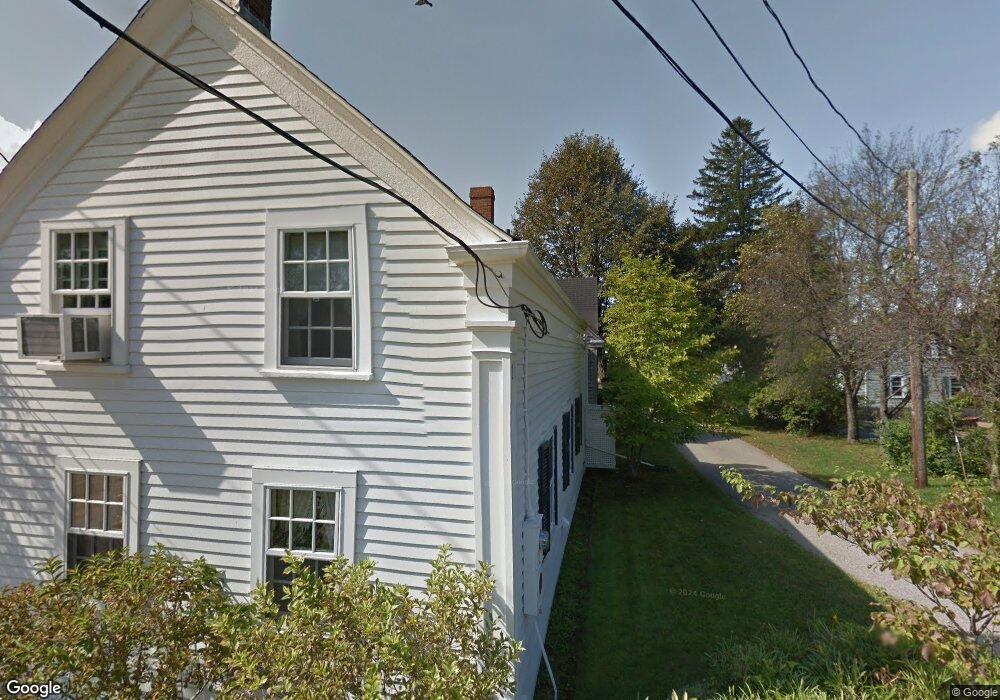
26 Maple Ave Eliot, ME 03903
South Eliot NeighborhoodEstimated Value: $507,000 - $778,000
2
Beds
2
Baths
1,990
Sq Ft
$308/Sq Ft
Est. Value
About This Home
This home is located at 26 Maple Ave, Eliot, ME 03903 and is currently estimated at $612,227, approximately $307 per square foot. 26 Maple Ave is a home located in York County with nearby schools including Marshwood High School.
Ownership History
Date
Name
Owned For
Owner Type
Purchase Details
Closed on
Apr 21, 2015
Sold by
Mchenry Diane
Bought by
Mchenry Ft and Mchenry Steven
Current Estimated Value
Purchase Details
Closed on
Feb 3, 2006
Sold by
Mchenry Steven and Mchenry Diane
Bought by
Mchenry Diane
Purchase Details
Closed on
Jul 25, 2005
Sold by
Knight Barbara R
Bought by
Mchenry Steven B
Create a Home Valuation Report for This Property
The Home Valuation Report is an in-depth analysis detailing your home's value as well as a comparison with similar homes in the area
Home Values in the Area
Average Home Value in this Area
Purchase History
| Date | Buyer | Sale Price | Title Company |
|---|---|---|---|
| Mchenry Ft | -- | -- | |
| Mchenry Diane | -- | -- | |
| Mchenry Steven B | -- | -- |
Source: Public Records
Tax History
| Year | Tax Paid | Tax Assessment Tax Assessment Total Assessment is a certain percentage of the fair market value that is determined by local assessors to be the total taxable value of land and additions on the property. | Land | Improvement |
|---|---|---|---|---|
| 2024 | $4,625 | $390,300 | $206,200 | $184,100 |
| 2023 | $4,610 | $376,300 | $206,200 | $170,100 |
| 2022 | $4,469 | $369,300 | $206,200 | $163,100 |
| 2021 | $4,522 | $364,400 | $206,200 | $158,200 |
| 2020 | $1,488 | $352,600 | $206,200 | $146,400 |
| 2019 | $5,183 | $352,600 | $206,200 | $146,400 |
| 2018 | $5,183 | $352,600 | $206,200 | $146,400 |
| 2017 | $5,042 | $352,600 | $206,200 | $146,400 |
| 2016 | $4,954 | $352,600 | $206,200 | $146,400 |
| 2015 | $4,936 | $352,600 | $206,200 | $146,400 |
| 2014 | $4,855 | $351,800 | $206,200 | $145,600 |
| 2013 | $4,633 | $351,800 | $206,200 | $145,600 |
Source: Public Records
Map
Nearby Homes
- 96 Spinnaker Way
- 14 Birch St
- 45 Shearwater Dr
- 37 Shearwater Dr Unit 1906
- 5 Spinney Way Unit 9
- 25 Oak Terrace
- 27 Oak Terrace
- 18 Shipping Ln
- 1360 Woodbury Ave
- 525 Maplewood Ave Unit 9
- 22 Summer Ln
- 35 Badgers Island W Unit 203
- 35 Badgers Island W Unit 301
- 35 Badgers Island W Unit 302
- 35 Badgers Island W Unit 103
- 8 Caslyn Dr
- 238 Deer St Unit 305
- 238 Deer St Unit 206
- 238 Deer St Unit 205
- 238 Deer St Unit 202
Your Personal Tour Guide
Ask me questions while you tour the home.