Estimated Value: $1,502,000 - $1,735,000
4
Beds
3
Baths
4,214
Sq Ft
$375/Sq Ft
Est. Value
About This Home
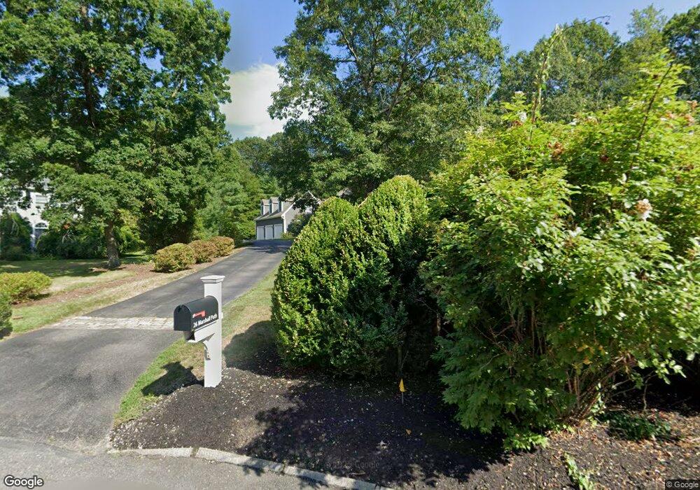
This home is located at 26 Marshall Path, Acton, MA 01720 and is currently estimated at $1,580,526, approximately $375 per square foot. 26 Marshall Path is a home located in Middlesex County with nearby schools including Acton-Boxborough Regional High School.
Ownership History
Date
Name
Owned For
Owner Type
Purchase Details
Closed on
Mar 14, 1997
Sold by
White Douglas L and White Brenda L
Bought by
Rosenzweig Philip M and Rosenzweig Lauren S
Current Estimated Value
Home Financials for this Owner
Home Financials are based on the most recent Mortgage that was taken out on this home.
Original Mortgage
$380,000
Outstanding Balance
$46,285
Interest Rate
7.79%
Mortgage Type
Purchase Money Mortgage
Estimated Equity
$1,534,241
Create a Home Valuation Report for This Property
The Home Valuation Report is an in-depth analysis detailing your home's value as well as a comparison with similar homes in the area
Home Values in the Area
Average Home Value in this Area
Purchase History
| Date | Buyer | Sale Price | Title Company |
|---|---|---|---|
| Rosenzweig Philip M | $619,900 | -- |
Source: Public Records
Mortgage History
| Date | Status | Borrower | Loan Amount |
|---|---|---|---|
| Open | Rosenzweig Philip M | $380,000 |
Source: Public Records
Tax History
| Year | Tax Paid | Tax Assessment Tax Assessment Total Assessment is a certain percentage of the fair market value that is determined by local assessors to be the total taxable value of land and additions on the property. | Land | Improvement |
|---|---|---|---|---|
| 2025 | $30,503 | $1,778,600 | $0 | $1,778,600 |
| 2024 | $27,082 | $1,624,600 | $0 | $1,624,600 |
| 2023 | $25,106 | $1,429,700 | $0 | $1,429,700 |
| 2022 | $26,139 | $1,343,900 | $0 | $1,343,900 |
| 2021 | $22,109 | $1,092,900 | $0 | $1,092,900 |
| 2020 | $20,725 | $1,077,200 | $0 | $1,077,200 |
| 2019 | $19,477 | $1,005,500 | $0 | $1,005,500 |
| 2018 | $19,888 | $1,026,200 | $0 | $1,026,200 |
| 2017 | $19,559 | $1,026,200 | $0 | $1,026,200 |
| 2016 | $18,568 | $965,600 | $0 | $965,600 |
| 2015 | $17,671 | $927,600 | $0 | $927,600 |
| 2014 | $16,750 | $861,200 | $0 | $861,200 |
Source: Public Records
Map
Nearby Homes
- 927 Main St
- 87 Canterbury Hill Rd
- 875 Acton St
- 516 Cross St
- 18 Quail Run Unit 18
- 110 Spencer Brook Rd
- 5 Samantha Way Unit 5
- 420 Great Rd Unit B3
- 390 Great Rd Unit B16
- 10 Blue Heron Way Unit 10
- 388 Great Rd Unit A9
- 388 Great Rd Unit B14
- 386 Great Rd Unit A8
- 380A Great Rd Unit 301
- 380 Great Rd Unit B301
- 11 Walnut St
- 50 Acton Rd
- 405 Great Elm Way
- 2 Duston Ln
- 262 Brown Bear Crossing Unit 262
- 28 Marshall Path
- 24 Marshall Path
- 22 Marshall Path
- 25 Marshall Path
- 20 Marshall Path
- 23 Marshall Path
- 18 Marshall Path
- 21 Marshall Path
- 12 Blueberry Path
- 16 Blueberry Path
- 16 Marshall Path
- 20 Blueberry Path
- 2 Blueberry Path
- 2 Blueberry Path
- 134 Highwoods Ln
- 14 Marshall Path
- 5 Blueberry Path
- 12 Marshall Path
- 11 Blueberry Path
- 19 Blueberry Path
Your Personal Tour Guide
Ask me questions while you tour the home.