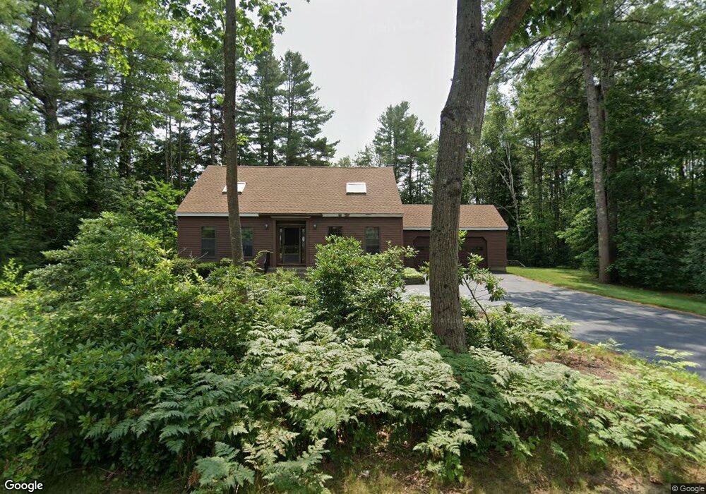
26 Merrifield Dr Kennebunk, ME 04043
Estimated Value: $607,029 - $731,000
3
Beds
3
Baths
2,106
Sq Ft
$314/Sq Ft
Est. Value
About This Home
This home is located at 26 Merrifield Dr, Kennebunk, ME 04043 and is currently estimated at $661,007, approximately $313 per square foot. 26 Merrifield Dr is a home located in York County with nearby schools including Kennebunk High School, School Around Us, and The New School.
Ownership History
Date
Name
Owned For
Owner Type
Purchase Details
Closed on
Dec 10, 2009
Sold by
Rosenfield Robert H and Rosenfield Susan R
Bought by
Kindler Edwin A and Kindler Elva L
Current Estimated Value
Home Financials for this Owner
Home Financials are based on the most recent Mortgage that was taken out on this home.
Original Mortgage
$260,000
Outstanding Balance
$175,722
Interest Rate
5.02%
Mortgage Type
Unknown
Estimated Equity
$485,285
Create a Home Valuation Report for This Property
The Home Valuation Report is an in-depth analysis detailing your home's value as well as a comparison with similar homes in the area
Home Values in the Area
Average Home Value in this Area
Purchase History
| Date | Buyer | Sale Price | Title Company |
|---|---|---|---|
| Kindler Edwin A | -- | -- |
Source: Public Records
Mortgage History
| Date | Status | Borrower | Loan Amount |
|---|---|---|---|
| Open | Kindler Edwin A | $260,000 |
Source: Public Records
Tax History
| Year | Tax Paid | Tax Assessment Tax Assessment Total Assessment is a certain percentage of the fair market value that is determined by local assessors to be the total taxable value of land and additions on the property. | Land | Improvement |
|---|---|---|---|---|
| 2024 | $5,985 | $353,100 | $95,600 | $257,500 |
| 2023 | $5,667 | $353,100 | $95,600 | $257,500 |
| 2022 | $5,155 | $353,100 | $95,600 | $257,500 |
| 2021 | $5,032 | $353,100 | $95,600 | $257,500 |
| 2020 | $4,996 | $353,100 | $95,600 | $257,500 |
| 2019 | $4,844 | $352,300 | $95,600 | $256,700 |
| 2018 | $4,624 | $264,200 | $71,700 | $192,500 |
| 2017 | $4,373 | $264,200 | $71,700 | $192,500 |
| 2016 | $4,201 | $264,200 | $71,700 | $192,500 |
| 2015 | $4,042 | $264,200 | $71,700 | $192,500 |
| 2014 | $3,937 | $264,200 | $71,700 | $192,500 |
Source: Public Records
Map
Nearby Homes
- 18 Longwood Dr
- 22 Oakwood Ln
- 3 Hardwood Ln
- 15 Casey Ln
- 106 Farragut Way Unit 149
- 61 Fletcher St
- 7 Powder Mill Dr
- 40 Powder Mill Dr Unit 40
- 115 Fletcher St
- 14 Summer St Unit 6
- 0 Old Post Rd Unit 1628980
- 93 Main St Unit A
- 15 Dane St
- 2 Lexington Dr Unit 2
- 2 Cross St
- 24 Cat Mousam Rd
- 7 Windsor Commons Dr Unit 7
- 30 York St Unit 1
- 0 Portland Rd Unit 1644264
- 3 Kensington Dr
- 6 Greenfield Dr
- 27 Merrifield Dr
- 4 Greenfield Dr
- 30 Merrifield Dr
- 1 Glengary Place
- 23 Merrifield Dr
- 23 Merrifield Dr
- 29 Merrifield Dr
- 3 Greenfield Dr
- 2 Greenfield Dr
- 21 Merrifield Dr
- 1 Greenfield Dr
- 3 Ivy Ct
- 20 Merrifield Dr
- 33 Merrifield Dr
- 31 Merrifield Dr
- 2 Ivy Ct
- 4 Glengary Place
- 35 Merrifield Dr
- 38 Merrifield Dr
Your Personal Tour Guide
Ask me questions while you tour the home.