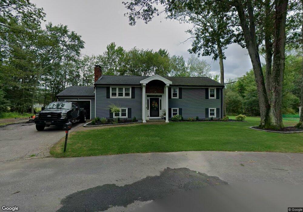
26 Metcalf Cir North Attleboro, MA 02760
North Attleboro NeighborhoodEstimated Value: $570,000 - $610,000
3
Beds
2
Baths
1,248
Sq Ft
$471/Sq Ft
Est. Value
About This Home
This home is located at 26 Metcalf Cir, North Attleboro, MA 02760 and is currently estimated at $588,376, approximately $471 per square foot. 26 Metcalf Cir is a home located in Bristol County with nearby schools including North Attleboro High School.
Ownership History
Date
Name
Owned For
Owner Type
Purchase Details
Closed on
Jul 20, 2020
Sold by
Oliver Brian H
Bought by
Oliver Brian H and Oliver Kelly A
Current Estimated Value
Purchase Details
Closed on
Aug 20, 2019
Sold by
Oliver Josephine Est
Bought by
Oliver Brian H
Purchase Details
Closed on
Jun 19, 2015
Sold by
Oliver Brian H
Bought by
Oliver Josephine
Purchase Details
Closed on
Mar 20, 2015
Sold by
Oliver Josephine
Bought by
Oliver Brian H
Purchase Details
Closed on
Jan 1, 1971
Bought by
Oliver Josephine
Create a Home Valuation Report for This Property
The Home Valuation Report is an in-depth analysis detailing your home's value as well as a comparison with similar homes in the area
Home Values in the Area
Average Home Value in this Area
Purchase History
| Date | Buyer | Sale Price | Title Company |
|---|---|---|---|
| Oliver Brian H | -- | None Available | |
| Oliver Brian H | -- | -- | |
| Oliver Josephine | -- | -- | |
| Oliver Brian H | -- | -- | |
| Oliver Josephine | -- | -- |
Source: Public Records
Tax History Compared to Growth
Tax History
| Year | Tax Paid | Tax Assessment Tax Assessment Total Assessment is a certain percentage of the fair market value that is determined by local assessors to be the total taxable value of land and additions on the property. | Land | Improvement |
|---|---|---|---|---|
| 2025 | $6,706 | $568,800 | $147,900 | $420,900 |
| 2024 | $6,395 | $554,200 | $147,900 | $406,300 |
| 2023 | $6,408 | $501,000 | $147,900 | $353,100 |
| 2022 | $6,114 | $438,900 | $147,900 | $291,000 |
| 2021 | $5,638 | $395,100 | $147,900 | $247,200 |
| 2020 | $5,475 | $381,500 | $147,900 | $233,600 |
| 2019 | $5,283 | $371,000 | $134,400 | $236,600 |
| 2018 | $4,686 | $351,300 | $134,400 | $216,900 |
| 2017 | $4,463 | $337,600 | $134,400 | $203,200 |
| 2016 | $4,294 | $324,800 | $149,200 | $175,600 |
| 2015 | $3,983 | $303,100 | $149,200 | $153,900 |
| 2014 | $3,760 | $284,000 | $131,100 | $152,900 |
Source: Public Records
Map
Nearby Homes
- 80 Broadway Unit 9
- Lot 6 Sperry Ln
- 40 Roosevelt Ave
- 41 Roosevelt Ave
- 16 Johnson St
- 137 Sumner St
- 23-R Eddy Street (Eddy St Rear)
- 93 Bank St
- 130 E Washington St Unit 57
- 130 E Washington St Unit 71
- 16 Richards Ave Unit 106
- 17 Holbrook Ave
- 300 E Washington St Unit 54R
- 300 E Washington St Unit 20N
- 19 Church St Unit C9
- 68 N Washington St Unit 210
- 36 Jefferson St
- 121 E Washington St Unit 8
- 121 E Washington St Unit 12
- 121 E Washington St Unit 13
- 20 Metcalf Cir
- 148 Crescent Ave
- 154 Crescent Ave
- 12 Metcalf Cir
- 7 Metcalf Cir
- 209 Metcalf Rd
- 140 Crescent Ave
- 205 Metcalf Rd
- 4 Metcalf Cir
- 137 Crescent Ave
- 168 Crescent Ave
- 159 Crescent Ave
- 132 Crescent Ave
- 173 Metcalf Rd
- 167 Crescent Ave
- 131 Crescent Ave
- 164 Westside Ave
- 173 Crescent Ave
- 124 Crescent Ave
- 123 Crescent Ave