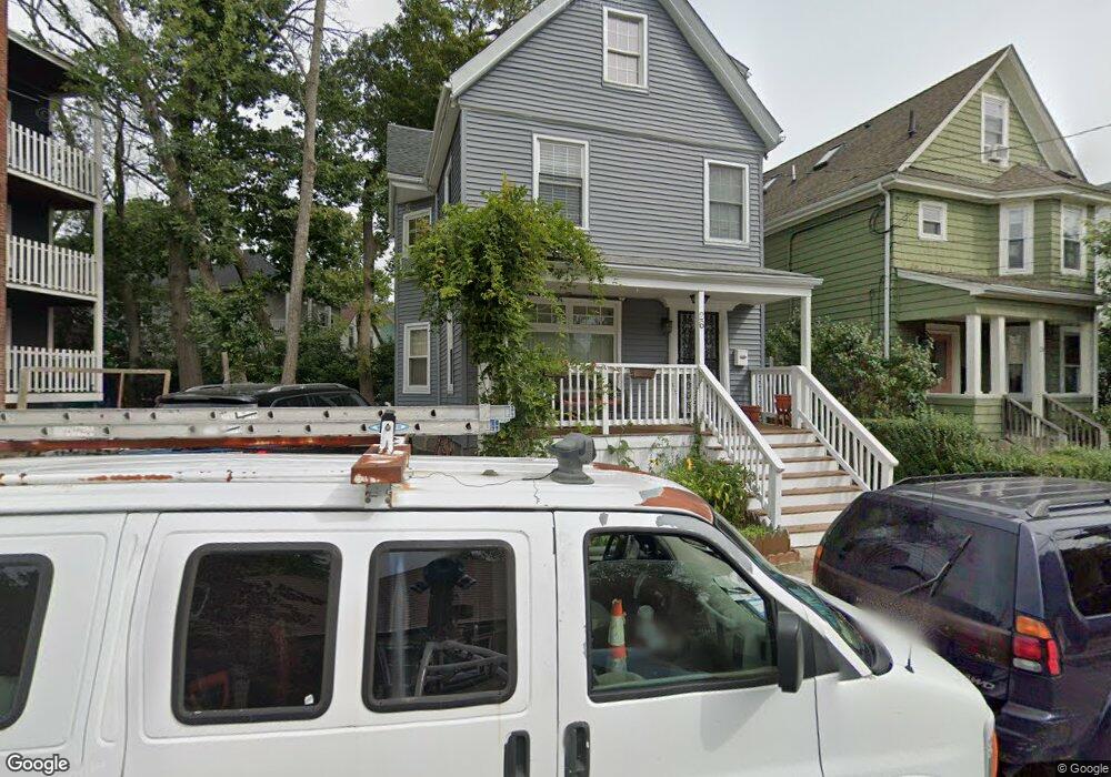
26 Meyer St Roslindale, MA 02131
Jamaica Plain NeighborhoodEstimated Value: $600,000 - $888,000
5
Beds
2
Baths
2,156
Sq Ft
$359/Sq Ft
Est. Value
About This Home
This home is located at 26 Meyer St, Roslindale, MA 02131 and is currently estimated at $774,519, approximately $359 per square foot. 26 Meyer St is a home located in Suffolk County with nearby schools including Brooke Charter School Roslindale, Sacred Heart STEM School, and St. Clare High School.
Ownership History
Date
Name
Owned For
Owner Type
Purchase Details
Closed on
Dec 12, 2006
Sold by
Vanvoorhis Brian T and Vanvoorhis Helen
Bought by
Garcia Jose F
Current Estimated Value
Home Financials for this Owner
Home Financials are based on the most recent Mortgage that was taken out on this home.
Original Mortgage
$249,000
Outstanding Balance
$149,613
Interest Rate
6.4%
Mortgage Type
Purchase Money Mortgage
Estimated Equity
$624,906
Create a Home Valuation Report for This Property
The Home Valuation Report is an in-depth analysis detailing your home's value as well as a comparison with similar homes in the area
Home Values in the Area
Average Home Value in this Area
Purchase History
| Date | Buyer | Sale Price | Title Company |
|---|---|---|---|
| Garcia Jose F | $249,000 | -- |
Source: Public Records
Mortgage History
| Date | Status | Borrower | Loan Amount |
|---|---|---|---|
| Open | Garcia Jose F | $249,000 |
Source: Public Records
Tax History
| Year | Tax Paid | Tax Assessment Tax Assessment Total Assessment is a certain percentage of the fair market value that is determined by local assessors to be the total taxable value of land and additions on the property. | Land | Improvement |
|---|---|---|---|---|
| 2025 | $8,013 | $692,000 | $156,800 | $535,200 |
| 2024 | $7,058 | $647,500 | $143,300 | $504,200 |
| 2023 | $6,497 | $604,900 | $133,900 | $471,000 |
| 2022 | $6,036 | $554,800 | $122,800 | $432,000 |
| 2021 | $5,747 | $538,600 | $119,200 | $419,400 |
| 2020 | $5,548 | $525,400 | $120,700 | $404,700 |
| 2019 | $5,275 | $500,500 | $98,700 | $401,800 |
| 2018 | $4,682 | $446,800 | $98,700 | $348,100 |
| 2017 | $4,641 | $438,200 | $98,700 | $339,500 |
| 2016 | $4,726 | $429,600 | $98,700 | $330,900 |
| 2015 | $4,564 | $376,900 | $109,900 | $267,000 |
| 2014 | $4,153 | $330,100 | $109,900 | $220,200 |
Source: Public Records
Map
Nearby Homes
- 40 Catherine St Unit 2
- 375 Hyde Park Ave Unit 3
- 35 Eldridge Rd Unit 209
- 602 Canterbury St Unit 14
- 602 Canterbury St Unit 10
- 602 Canterbury St Unit 5
- 602 Canterbury St Unit 9
- 31 Rodman St Unit 2
- 61 Fawndale Rd
- 472 Hyde Park Ave Unit 472
- 586 Canterbury St
- 56 Patten St
- 19 Delford St
- 23 Rowe St Unit 23 Rowe
- 178 Hyde Park Ave Unit 3
- 626 South St
- 543 Hyde Park Ave Unit 1
- 68 Rowe St Unit 3
- 68 Rowe St Unit 2
- 3886-3888 Washington St
- 28 Meyer St Unit 2
- 28 Meyer St Unit 1
- 28 Meyer St
- 34 Catherine St Unit 4
- 34 Catherine St Unit 1
- 34 Catherine St
- 34 Catherine St Unit 6
- 34 Catherine St Unit 3
- 34 Catherine St Unit 5
- 34 Catherine St Unit 2
- 28 Catherine St Unit 1 1st Floor
- 28 Catherine St Unit 2 Duplex
- 28 Catherine St Unit 30
- 32 Meyer St
- 32 Meyer St Unit 2
- 26 Catherine St
- 36 Meyer St
- 40 Catherine St Unit 1
- 40 Catherine St
- 23 Meyer St
Your Personal Tour Guide
Ask me questions while you tour the home.