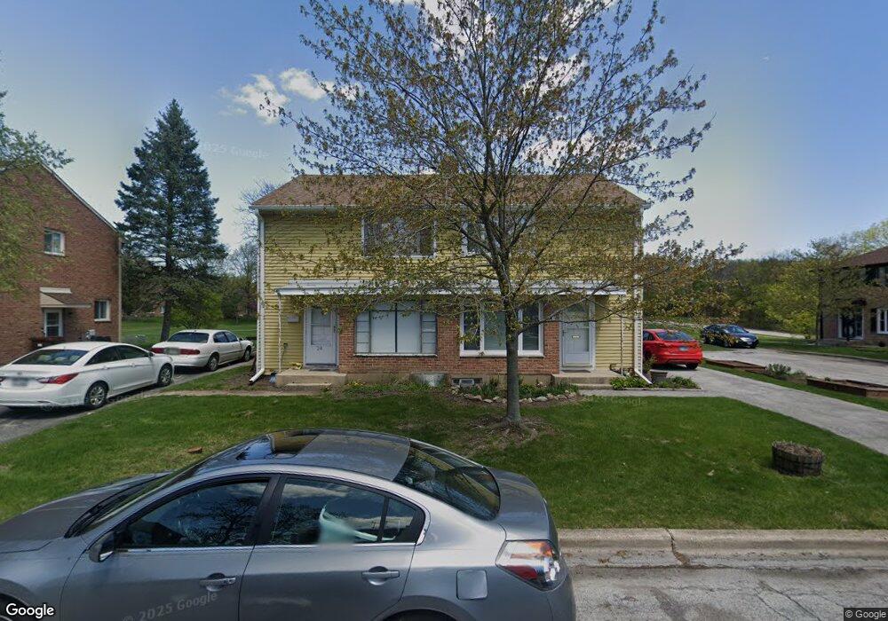
26 Michael Rd Unit 782 Park Forest, IL 60466
Estimated Value: $54,265 - $67,000
4
Beds
2
Baths
1,380
Sq Ft
$45/Sq Ft
Est. Value
About This Home
This home is located at 26 Michael Rd Unit 782, Park Forest, IL 60466 and is currently estimated at $61,816, approximately $44 per square foot. 26 Michael Rd Unit 782 is a home located in Cook County with nearby schools including 21st Century Primary Center, Blackhawk Intermediate Center, and Michelle Obama School of Technology.
Ownership History
Date
Name
Owned For
Owner Type
Purchase Details
Closed on
Sep 7, 2022
Sold by
Collins David N and Collins Elizabeth S
Bought by
Collins Jordan A
Current Estimated Value
Create a Home Valuation Report for This Property
The Home Valuation Report is an in-depth analysis detailing your home's value as well as a comparison with similar homes in the area
Home Values in the Area
Average Home Value in this Area
Purchase History
| Date | Buyer | Sale Price | Title Company |
|---|---|---|---|
| Collins Jordan A | -- | None Listed On Document |
Source: Public Records
Tax History
| Year | Tax Paid | Tax Assessment Tax Assessment Total Assessment is a certain percentage of the fair market value that is determined by local assessors to be the total taxable value of land and additions on the property. | Land | Improvement |
|---|---|---|---|---|
| 2025 | $1,985 | $6,189 | $1,811 | $4,378 |
| 2024 | $1,985 | $6,189 | $1,811 | $4,378 |
| 2023 | -- | $6,491 | $1,811 | $4,680 |
| 2022 | $0 | $2,399 | $1,358 | $1,041 |
| 2021 | $973 | $2,399 | $1,358 | $1,041 |
| 2020 | $973 | $2,399 | $1,358 | $1,041 |
| 2019 | $0 | $2,965 | $1,244 | $1,721 |
| 2018 | $973 | $4,634 | $1,244 | $3,390 |
| 2017 | $1,005 | $4,634 | $1,244 | $3,390 |
| 2016 | $1,229 | $4,097 | $1,131 | $2,966 |
| 2015 | $1,099 | $4,097 | $1,131 | $2,966 |
| 2014 | $1,107 | $4,097 | $1,131 | $2,966 |
| 2013 | $1,527 | $4,979 | $1,131 | $3,848 |
Source: Public Records
Map
Nearby Homes
- 32 Dunlap Rd Unit 261
- 141 Hemlock St Unit 253
- 154 Hemlock St Unit 912
- 5 Oak Ln
- 22 Apple Ln
- 17 Oak Ln
- 223 S Orchard Dr
- 307 Osage St
- 226 S Orchard Dr
- 55 Apple Ln
- 308 Oakwood St
- 55 Marquette St
- 74 Marquette St
- 36 Monee Rd
- 310 Nassau St
- 343 Osage St
- 335 Oakwood St
- 336 Oakwood St
- 332 Oswego St
- 131 Sauk Trail
- 24 Michael Rd Unit 781
- 22 Michael Rd Unit 774
- 30 Michael Rd Unit 792
- 20 Michael Rd Unit 773
- 28 Michael Rd Unit 791
- 27 Michael Rd Unit 822
- 25 Michael Rd Unit 821
- 32 Michael Rd Unit 801
- 33 Michael Rd Unit 802
- 33 Michael Rd
- 23 Michael Rd Unit 834
- 18 Michael Rd Unit 772
- 21 Michael Rd Unit 833
- 16 Michael Rd Unit 771
- 31 Michael Rd Unit 812
- 19 Michael Rd Unit 832
- 29 Michael Rd Unit 811
- 17 Michael Rd Unit 831
- 1 Dunlap Rd Unit 761
- 3 Dunlap Rd Unit 762
Your Personal Tour Guide
Ask me questions while you tour the home.