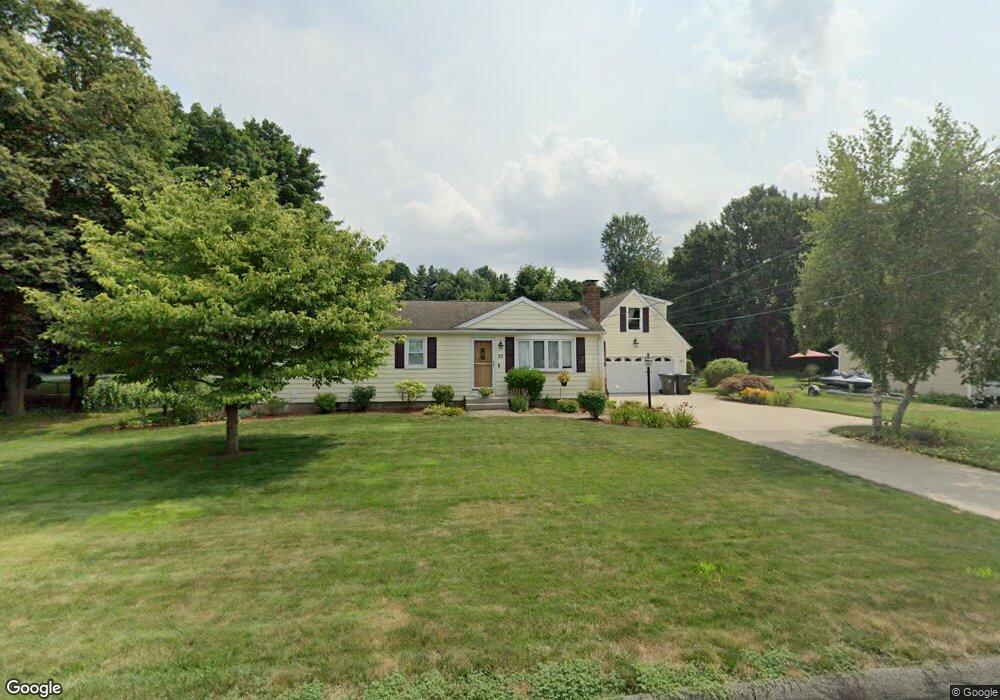
26 Mildrum Rd Berlin, CT 06037
Estimated Value: $479,000 - $486,000
3
Beds
4
Baths
2,271
Sq Ft
$212/Sq Ft
Est. Value
About This Home
This home is located at 26 Mildrum Rd, Berlin, CT 06037 and is currently estimated at $482,093, approximately $212 per square foot. 26 Mildrum Rd is a home located in Hartford County with nearby schools including Richard D. Hubbard School, Catherine M. Mcgee Middle School, and Berlin High School.
Ownership History
Date
Name
Owned For
Owner Type
Purchase Details
Closed on
Jan 18, 2024
Sold by
Ouellette James P
Bought by
Ouellette Lee A
Current Estimated Value
Home Financials for this Owner
Home Financials are based on the most recent Mortgage that was taken out on this home.
Original Mortgage
$170,000
Interest Rate
6.63%
Mortgage Type
Stand Alone Refi Refinance Of Original Loan
Purchase Details
Closed on
Dec 7, 1988
Sold by
Bikakis Jason
Bought by
Ouellette James
Create a Home Valuation Report for This Property
The Home Valuation Report is an in-depth analysis detailing your home's value as well as a comparison with similar homes in the area
Home Values in the Area
Average Home Value in this Area
Purchase History
| Date | Buyer | Sale Price | Title Company |
|---|---|---|---|
| Ouellette Lee A | -- | None Available | |
| Ouellette Lee A | -- | None Available | |
| Ouellette James | $145,000 | -- |
Source: Public Records
Mortgage History
| Date | Status | Borrower | Loan Amount |
|---|---|---|---|
| Previous Owner | Ouellette Lee A | $170,000 | |
| Previous Owner | Ouellette James | $50,000 | |
| Previous Owner | Ouellette James | $183,900 |
Source: Public Records
Tax History
| Year | Tax Paid | Tax Assessment Tax Assessment Total Assessment is a certain percentage of the fair market value that is determined by local assessors to be the total taxable value of land and additions on the property. | Land | Improvement |
|---|---|---|---|---|
| 2025 | $7,338 | $239,400 | $79,400 | $160,000 |
| 2024 | $7,232 | $239,400 | $79,400 | $160,000 |
| 2023 | $7,077 | $239,400 | $79,400 | $160,000 |
| 2022 | $7,116 | $207,400 | $72,900 | $134,500 |
| 2021 | $7,037 | $207,400 | $72,900 | $134,500 |
| 2020 | $7,037 | $207,400 | $72,900 | $134,500 |
| 2019 | $7,037 | $207,400 | $72,900 | $134,500 |
| 2018 | $6,741 | $207,400 | $72,900 | $134,500 |
| 2017 | $6,294 | $199,100 | $72,200 | $126,900 |
| 2016 | $6,134 | $199,100 | $72,200 | $126,900 |
| 2015 | $6,043 | $199,100 | $72,200 | $126,900 |
| 2014 | $5,758 | $199,100 | $72,200 | $126,900 |
Source: Public Records
Map
Nearby Homes
- 548 Worthington Ridge
- 0 Country Ct Unit 137 24077628
- 1152 Worthington Ridge
- 1175 Worthington Ridge
- 44 Briar Patch Dr
- 660/674 Church Rear St
- 97 Benson St
- 303 New Britain Rd
- 644 Four Rod Rd
- 70 Foster St
- 104 North Rd
- 28 Glendale Ave
- 490 South St
- 0 Middle St
- 51 Towne Dr
- 124 Speno Ridge
- 28 Kulper Rd
- 10 Main St Unit 107
- 4 N Ridge Dr
- 163 Speno Ridge
Your Personal Tour Guide
Ask me questions while you tour the home.