26 Montgomery Rd Scottown, OH 45678
Estimated Value: $183,688 - $287,000
4
Beds
2
Baths
2,571
Sq Ft
$95/Sq Ft
Est. Value
About This Home
This home is located at 26 Montgomery Rd, Scottown, OH 45678 and is currently estimated at $245,229, approximately $95 per square foot. 26 Montgomery Rd is a home located in Gallia County with nearby schools including Hannan Trace Elementary School and South Gallia Middle School.
Ownership History
Date
Name
Owned For
Owner Type
Purchase Details
Closed on
Oct 24, 2025
Sold by
Rutt Dylan M and Rutt Rachel L
Bought by
Rutt Harold Bruce and Rutt Patricia Ann
Current Estimated Value
Purchase Details
Closed on
Apr 20, 2012
Sold by
Rutt Harold B and Rutt Robert J
Bought by
Rutt Dylan M and Rutt Rachel L
Home Financials for this Owner
Home Financials are based on the most recent Mortgage that was taken out on this home.
Original Mortgage
$129,200
Interest Rate
3.9%
Mortgage Type
Purchase Money Mortgage
Purchase Details
Closed on
Jun 4, 1993
Bought by
Rutt Harold B
Create a Home Valuation Report for This Property
The Home Valuation Report is an in-depth analysis detailing your home's value as well as a comparison with similar homes in the area
Home Values in the Area
Average Home Value in this Area
Purchase History
| Date | Buyer | Sale Price | Title Company |
|---|---|---|---|
| Rutt Harold Bruce | $218,600 | Elite Land Title | |
| Rutt Dylan M | $136,000 | None Available | |
| Rutt Harold B | $56,000 | -- |
Source: Public Records
Mortgage History
| Date | Status | Borrower | Loan Amount |
|---|---|---|---|
| Previous Owner | Rutt Dylan M | $129,200 |
Source: Public Records
Tax History Compared to Growth
Tax History
| Year | Tax Paid | Tax Assessment Tax Assessment Total Assessment is a certain percentage of the fair market value that is determined by local assessors to be the total taxable value of land and additions on the property. | Land | Improvement |
|---|---|---|---|---|
| 2024 | $737 | $46,880 | $13,090 | $33,790 |
| 2023 | $1,499 | $46,880 | $13,090 | $33,790 |
| 2022 | $1,387 | $41,940 | $11,080 | $30,860 |
| 2021 | $1,384 | $41,940 | $11,080 | $30,860 |
| 2020 | $1,384 | $41,940 | $11,080 | $30,860 |
| 2019 | $1,274 | $38,540 | $10,070 | $28,470 |
| 2018 | $1,274 | $38,540 | $10,070 | $28,470 |
| 2017 | $1,290 | $38,540 | $10,070 | $28,470 |
| 2016 | $1,181 | $35,430 | $8,350 | $27,080 |
| 2015 | $1,181 | $35,430 | $8,350 | $27,080 |
| 2013 | $1,230 | $36,660 | $8,350 | $28,310 |
| 2012 | $879 | $36,660 | $8,350 | $28,310 |
Source: Public Records
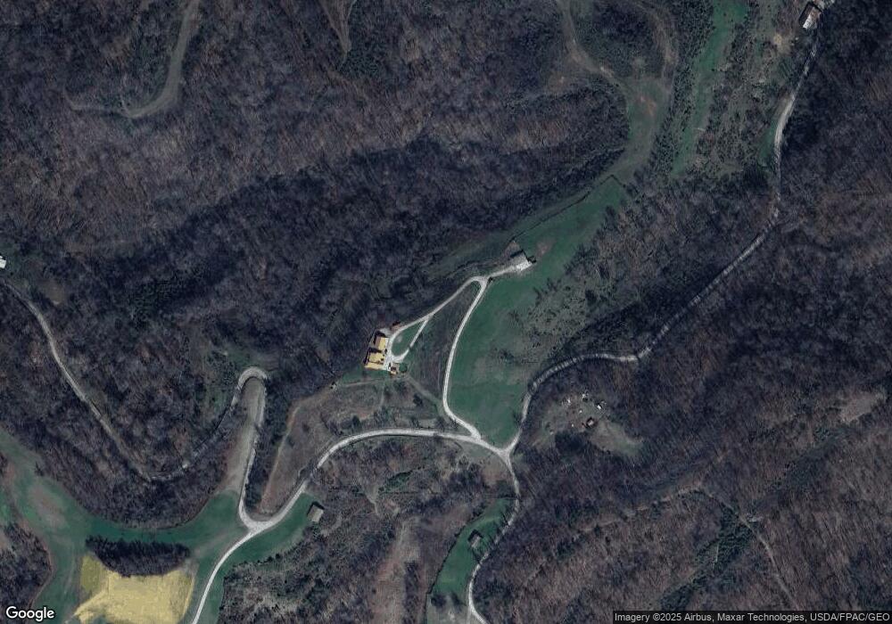
Map
Nearby Homes
- State Route 790
- 1805 Long Creek Rd E
- State Route 790
- 0 Dillon Ridge Unit 23651508
- 0 Dillon Ridge Unit 181305
- 814 Wells Run Rd
- 479 Township Road 122
- 13498 County Road 2
- 168 Township Road 122 W
- 1263 County Road 73
- 0 Rocky Fork Rd
- 126 Crown St
- 11904 State Route 217
- 146 Williams St
- 0 County Road 213
- 0 Ohio 217
- 00 Ohio 217
- 751 County Road 9
- 0 Johns Creek Road Lot Unit Wp001
- 321 Township Road 75 S