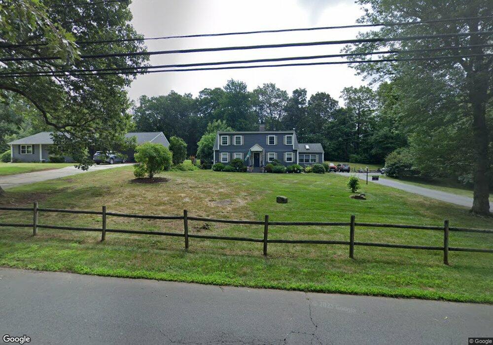
26 N Airline Rd Wallingford, CT 06492
Estimated Value: $441,000 - $499,363
About This Home
This home is located at 26 N Airline Rd, Wallingford, CT 06492 and is currently estimated at $470,591, approximately $213 per square foot. 26 N Airline Rd is a home located in New Haven County with nearby schools including Moses Y Beach Elementary School, Rock Hill Elementary School, and Dag Hammarskjold Middle School.
Ownership History
We collect this data history from publicly available records. To have your information removed, we recommend requesting removal directly through your county’s website.
Purchase Details
Purchase Details
Home Values in the Area
Average Home Value in this Area
Purchase History
We collect this data history from publicly available records. To have your information removed, we recommend requesting removal directly through your county’s website.
| Date | Buyer | Sale Price | Title Company |
|---|---|---|---|
| $340,000 | -- | ||
| $340,000 | -- | ||
| $167,500 | -- | ||
| $167,500 | -- |
Mortgage History
We collect this data history from publicly available records. To have your information removed, we recommend requesting removal directly through your county’s website.
| Date | Status | Borrower | Loan Amount |
|---|---|---|---|
| Open | $343,517 | ||
| Closed | $313,000 | ||
| Previous Owner | $10,000 |
Tax History
We collect this data history from publicly available records. To have your information removed, we recommend requesting removal directly through your county’s website.
| Year | Tax Paid | Tax Assessment Tax Assessment Total Assessment is a certain percentage of the fair market value that is determined by local assessors to be the total taxable value of land and additions on the property. | Land | Improvement |
|---|---|---|---|---|
| 2025 | $7,265 | $301,200 | $100,700 | $200,500 |
| 2024 | $6,448 | $210,300 | $83,900 | $126,400 |
| 2023 | $6,170 | $210,300 | $83,900 | $126,400 |
| 2022 | $6,107 | $210,300 | $83,900 | $126,400 |
| 2021 | $5,998 | $210,300 | $83,900 | $126,400 |
| 2020 | $5,695 | $195,100 | $83,100 | $112,000 |
| 2019 | $5,012 | $171,700 | $83,100 | $88,600 |
| 2018 | $4,917 | $171,700 | $83,100 | $88,600 |
| 2017 | $4,902 | $171,700 | $83,100 | $88,600 |
| 2016 | $4,789 | $171,700 | $83,100 | $88,600 |
| 2015 | $4,777 | $173,900 | $83,200 | $90,700 |
| 2014 | $4,676 | $173,900 | $83,200 | $90,700 |
Map
- 9 Grantham Rd
- 18 Grantham Rd
- 50 Carr St
- 45 Putter Dr Unit 509
- 21 Putter Dr Unit 303S
- 940 Durham Rd
- 1052 New Rock Hill Rd
- 154 Long Hill Rd
- 40 Bayberry Dr
- 1316 Whirlwind Hill Rd
- 2 Cannon Gateway
- 32 Stillwood Rd
- 65 Tremper Dr
- 12 Briarwood Ln
- 349 E Main St
- 145 Prince St
- 44 Farm Hill Rd
- 338 S Elm St
- 6 Vumbaco Dr
- 21 Sigwin Dr
- 32 N Airline Rd
- 38 N Airline Rd
- 25 N Airline Rd
- 29 N Airline Rd
- 19 N Airline Rd
- 6 Shweky Ct
- 31 N Airline Rd
- 17 N Airline Rd
- 42 N Airline Rd
- 33 N Airline Rd
- 8 Shweky Ct
- 15 N Airline Rd
- 46 N Airline Rd
- 49 N Airline Rd
- 988 E Center St
- 10 Shweky Ct
- 50 N Airline Rd
- 5 N Airline Rd
- 5 Shweky Ct
- 53 N Airline Rd
Ask me questions while you tour the home.