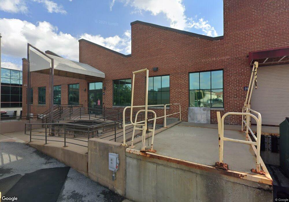
26 N Cedar St Lititz, PA 17543
--
Bed
--
Bath
112,382
Sq Ft
3.1
Acres
About This Home
This home is located at 26 N Cedar St, Lititz, PA 17543. 26 N Cedar St is a home located in Lancaster County with nearby schools including Warwick Senior High School, Lititz Christian School, and Linden Hall.
Ownership History
Date
Name
Owned For
Owner Type
Purchase Details
Closed on
Jul 20, 2020
Sold by
Lancaster General Hospital
Bought by
Borough Of Lititz
Purchase Details
Closed on
Jun 7, 2018
Sold by
Blackford Development Ltd
Bought by
The Lancaster General Hospital
Purchase Details
Closed on
Jan 30, 2018
Sold by
Branch Banking And Trust Co
Bought by
Blackford Development Ltd
Home Financials for this Owner
Home Financials are based on the most recent Mortgage that was taken out on this home.
Original Mortgage
$6,500,000
Interest Rate
3.94%
Mortgage Type
Purchase Money Mortgage
Create a Home Valuation Report for This Property
The Home Valuation Report is an in-depth analysis detailing your home's value as well as a comparison with similar homes in the area
Home Values in the Area
Average Home Value in this Area
Purchase History
| Date | Buyer | Sale Price | Title Company |
|---|---|---|---|
| Borough Of Lititz | -- | None Available | |
| The Lancaster General Hospital | $9,000,000 | First American Abstract | |
| Blackford Development Ltd | -- | None Available |
Source: Public Records
Mortgage History
| Date | Status | Borrower | Loan Amount |
|---|---|---|---|
| Previous Owner | Blackford Development Ltd | $6,500,000 |
Source: Public Records
Tax History Compared to Growth
Tax History
| Year | Tax Paid | Tax Assessment Tax Assessment Total Assessment is a certain percentage of the fair market value that is determined by local assessors to be the total taxable value of land and additions on the property. | Land | Improvement |
|---|---|---|---|---|
| 2025 | $192,632 | $8,515,200 | $237,200 | $8,278,000 |
| 2024 | $192,632 | $8,515,200 | $237,200 | $8,278,000 |
| 2023 | $191,865 | $8,515,200 | $237,200 | $8,278,000 |
| 2022 | $181,221 | $8,515,200 | $237,200 | $8,278,000 |
| 2021 | $181,221 | $8,515,200 | $237,200 | $8,278,000 |
| 2020 | $181,221 | $8,515,200 | $237,200 | $8,278,000 |
| 2019 | $181,221 | $8,515,200 | $237,200 | $8,278,000 |
| 2016 | $119,120 | $4,398,500 | $396,800 | $4,001,700 |
| 2015 | $27,865 | $4,398,500 | $396,800 | $4,001,700 |
| 2014 | $86,692 | $4,398,500 | $396,800 | $4,001,700 |
Source: Public Records
Map
Nearby Homes
- LOT 14 Thaton Rd
- LOT 12 Thaton Rd
- 141 E Lincoln Ave
- 256 Cedar St S
- 19 E 2nd Ave
- 601 E Main St
- 501 E New St
- 411 Danbury Dr
- 233 Cardinal Rd
- 112 Chukar Ct
- 213 E 6th St
- 35 Duffield Dr
- 641 Chickadee Dr
- 486 Balmer Rd
- 514 Woodcrest Ave
- 516 Woodcrest Ave
- 762 Keller Dr
- 441 Azalea Aly
- 404 Autumn Harvest Ln Unit 32
- 408 Autumn Harvest Ln Unit 31