26 N Port Royal Dr Hilton Head Island, SC 29928
Port Royal Plantation NeighborhoodEstimated Value: $4,159,161 - $7,299,000
6
Beds
8
Baths
8,681
Sq Ft
$675/Sq Ft
Est. Value
About This Home
This home is located at 26 N Port Royal Dr, Hilton Head Island, SC 29928 and is currently estimated at $5,858,040, approximately $674 per square foot. 26 N Port Royal Dr is a home located in Beaufort County with nearby schools including Hilton Head Island Early Childhood Center, Hilton Head Island Elementary School, and Hilton Head Island Middle School.
Ownership History
Date
Name
Owned For
Owner Type
Purchase Details
Closed on
Mar 19, 2009
Sold by
Vardzel Gerald J and Vardzel Suzanne B
Bought by
Bolton Douglas R and Bolton Tonyia J
Current Estimated Value
Purchase Details
Closed on
Aug 31, 2004
Sold by
Mccann John J and Mccann Valerie L
Bought by
Vardzel Gerald J and Vardzel Suzanne B
Home Financials for this Owner
Home Financials are based on the most recent Mortgage that was taken out on this home.
Original Mortgage
$3,500,000
Interest Rate
6%
Mortgage Type
Purchase Money Mortgage
Purchase Details
Closed on
May 22, 2003
Sold by
Schatmeyer Harry
Bought by
Mccann John J and Mccann Valerie L
Create a Home Valuation Report for This Property
The Home Valuation Report is an in-depth analysis detailing your home's value as well as a comparison with similar homes in the area
Home Values in the Area
Average Home Value in this Area
Purchase History
| Date | Buyer | Sale Price | Title Company |
|---|---|---|---|
| Bolton Douglas R | $3,150,000 | -- | |
| Vardzel Gerald J | $2,622,500 | -- | |
| Mccann John J | $1,950,000 | -- |
Source: Public Records
Mortgage History
| Date | Status | Borrower | Loan Amount |
|---|---|---|---|
| Previous Owner | Vardzel Gerald J | $3,500,000 |
Source: Public Records
Tax History Compared to Growth
Tax History
| Year | Tax Paid | Tax Assessment Tax Assessment Total Assessment is a certain percentage of the fair market value that is determined by local assessors to be the total taxable value of land and additions on the property. | Land | Improvement |
|---|---|---|---|---|
| 2024 | $13,953 | $217,124 | $80,000 | $137,124 |
| 2023 | $13,953 | $217,124 | $80,000 | $137,124 |
| 2022 | $12,811 | $130,744 | $80,000 | $50,744 |
| 2021 | $13,275 | $130,744 | $80,000 | $50,744 |
| 2020 | $13,217 | $130,744 | $80,000 | $50,744 |
| 2019 | $12,765 | $130,744 | $80,000 | $50,744 |
| 2018 | $12,494 | $95,020 | $0 | $0 |
| 2017 | $11,024 | $82,630 | $0 | $0 |
| 2016 | $10,292 | $82,630 | $0 | $0 |
| 2014 | $12,265 | $82,630 | $0 | $0 |
Source: Public Records
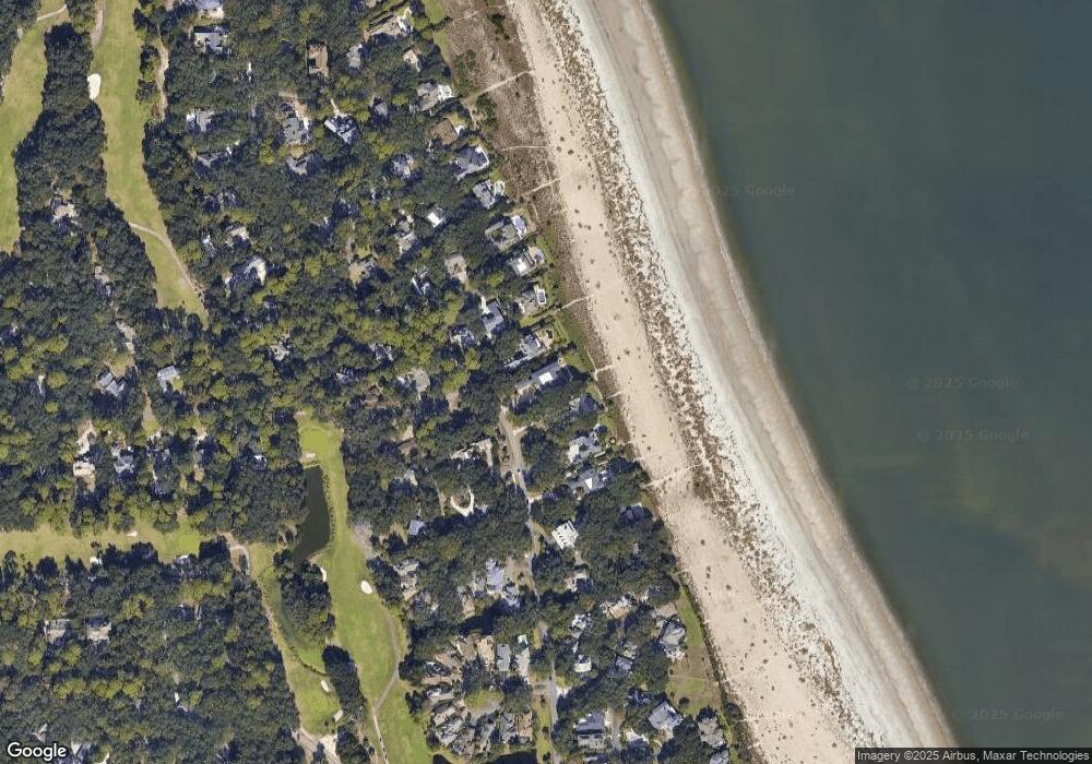
Map
Nearby Homes
- 33 N Port Royal Dr
- 5 Princeton Cir
- 24 Ocean Point N
- 6 Overlook Place
- 20 Fairway Winds Place
- 6 Gunpowder Place
- 49 Fairway Winds Place
- 4 Sally Port Rd
- 28 Planters Row
- 156 Dillon Rd Unit 126
- 155 Dillon Rd Unit 2122
- 155 Dillon Rd Unit 2027
- 85 S Port Royal Dr
- 175 Wiley Ln
- 3 Claire Dr
- 11 Dahlgren Ln
- 00 Dillon Rd
- 20 Royal Crest Dr
- 170 Dillon Rd
- 17 Dahlgren Ln
- 28 N Port Royal Dr
- 24 N Port Royal Dr
- 22 N Port Royal Dr
- 6 Tattnall Place
- 4 Tattnall Place
- 1 Elliot Place
- 2 Tattnall Place
- 2 Stuart Place
- 20 N Port Royal Dr
- 7 Tattnall Place
- 29 N Port Royal Dr
- 1 Stuart Place
- 3 Tattnall Place
- 18 N Port Royal Dr
- 5 Tattnall Place
- 3 Middleton Place
- 3 Elliot Place
- 31 N Port Royal Dr
- 4 Elliot Place
- 4 Stuart Place