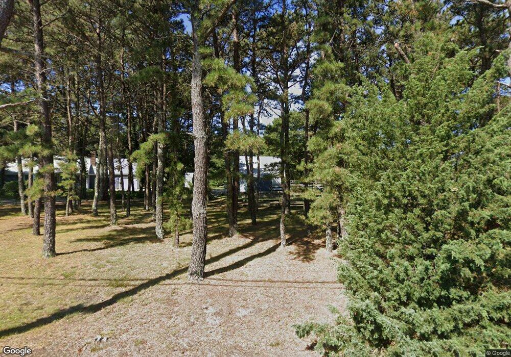
26 N Westgate Rd Harwich, MA 02645
Northwest Harwich NeighborhoodEstimated Value: $647,000 - $869,000
3
Beds
2
Baths
1,192
Sq Ft
$612/Sq Ft
Est. Value
About This Home
This home is located at 26 N Westgate Rd, Harwich, MA 02645 and is currently estimated at $729,067, approximately $611 per square foot. 26 N Westgate Rd is a home located in Barnstable County with nearby schools including Harwich Elementary School, Chatham Elementary School, and Monomoy Regional Middle School.
Ownership History
Date
Name
Owned For
Owner Type
Purchase Details
Closed on
Jun 23, 1995
Sold by
Bacon Norman H
Bought by
Coleman David R and Coleman Betsy A
Current Estimated Value
Home Financials for this Owner
Home Financials are based on the most recent Mortgage that was taken out on this home.
Original Mortgage
$44,000
Interest Rate
7.82%
Mortgage Type
Purchase Money Mortgage
Purchase Details
Closed on
Sep 30, 1994
Sold by
Hall Russell E
Bought by
Bacon Norman H
Home Financials for this Owner
Home Financials are based on the most recent Mortgage that was taken out on this home.
Original Mortgage
$35,000
Interest Rate
8.5%
Mortgage Type
Purchase Money Mortgage
Create a Home Valuation Report for This Property
The Home Valuation Report is an in-depth analysis detailing your home's value as well as a comparison with similar homes in the area
Home Values in the Area
Average Home Value in this Area
Purchase History
| Date | Buyer | Sale Price | Title Company |
|---|---|---|---|
| Coleman David R | $55,000 | -- | |
| Bacon Norman H | $50,000 | -- |
Source: Public Records
Mortgage History
| Date | Status | Borrower | Loan Amount |
|---|---|---|---|
| Open | Bacon Norman H | $144,000 | |
| Closed | Bacon Norman H | $44,000 | |
| Previous Owner | Bacon Norman H | $35,000 |
Source: Public Records
Tax History Compared to Growth
Tax History
| Year | Tax Paid | Tax Assessment Tax Assessment Total Assessment is a certain percentage of the fair market value that is determined by local assessors to be the total taxable value of land and additions on the property. | Land | Improvement |
|---|---|---|---|---|
| 2025 | $3,772 | $638,300 | $205,600 | $432,700 |
| 2024 | $3,662 | $607,300 | $193,900 | $413,400 |
| 2023 | $3,516 | $529,500 | $176,300 | $353,200 |
| 2022 | $3,548 | $437,500 | $163,600 | $273,900 |
| 2021 | $3,366 | $391,400 | $148,500 | $242,900 |
| 2020 | $3,348 | $383,500 | $148,700 | $234,800 |
| 2019 | $3,142 | $362,400 | $142,900 | $219,500 |
| 2018 | $3,228 | $366,800 | $144,300 | $222,500 |
| 2017 | $3,174 | $353,800 | $145,000 | $208,800 |
| 2016 | $3,132 | $345,300 | $145,000 | $200,300 |
| 2015 | $2,904 | $323,800 | $129,200 | $194,600 |
| 2014 | $2,670 | $304,400 | $112,900 | $191,500 |
Source: Public Records
Map
Nearby Homes
- 3 Bittersweet Ln
- 37 Cyprus Rd
- 25 Black Duck Cartway
- 37 Cyprus Rd
- 0 Ash Ct
- 310 Old Chatham Rd Unit D-30
- 310 Old Chatham Rd Unit A7
- 310 Old Chatham Rd Unit A21
- 310 Old Chatham Rd Unit A-141
- 310 Old Chatham Rd Unit C14
- 432 Old Chatham Rd Unit 403
- 432 Old Chatham Rd Unit 103
- 3 Bentley Rd
- 20 Sycamore Ln
- 2 Bassett Woods Rd
- 360 Center St
- 116 Searsville Rd
- 171 Searsville Rd
- 91 Depot Rd W
- 29 Highland St
- 14 N Westgate Rd
- 1018 Factory Rd
- 15 N Westgate Rd
- 3 N Westgate Rd
- 25 N Westgate Rd
- 28 N Westgate Rd
- 1024 Factory Rd
- 57 N Westgate Rd
- 1 N Westgate Rd
- 38 N Westgate Rd
- 1028 Factory Rd
- 1010 Factory Rd
- 1030 Factory Rd
- 41 N Westgate Rd
- 46 N Westgate Rd
- 33 N Westgate Rd
- 721 Depot St
- 1032 Factory Rd
- 1000 Factory Rd
- 727 Depot St