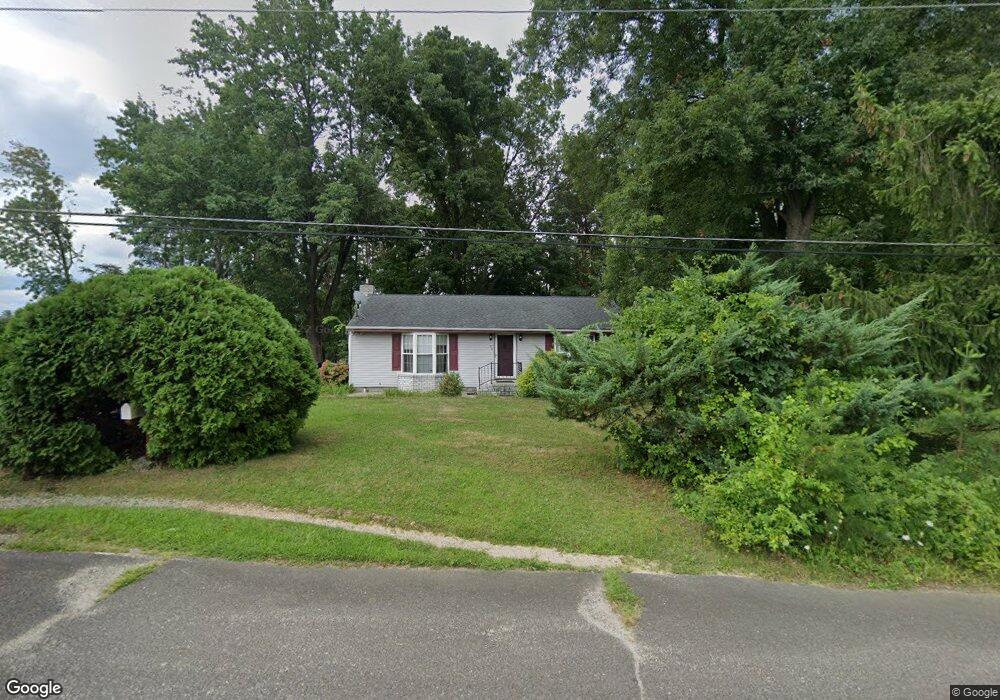
26 New York Ave Mantua, NJ 08051
Mantua Township NeighborhoodEstimated Value: $261,000 - $288,000
--
Bed
--
Bath
1,040
Sq Ft
$261/Sq Ft
Est. Value
About This Home
This home is located at 26 New York Ave, Mantua, NJ 08051 and is currently estimated at $271,938, approximately $261 per square foot. 26 New York Ave is a home located in Gloucester County with nearby schools including Centre City School, Clearview Regional Middle School, and Clearview Regional High School.
Ownership History
Date
Name
Owned For
Owner Type
Purchase Details
Closed on
Jul 6, 2010
Sold by
Morrison John A
Bought by
Torgun Geraldine
Current Estimated Value
Home Financials for this Owner
Home Financials are based on the most recent Mortgage that was taken out on this home.
Original Mortgage
$88,000
Outstanding Balance
$58,769
Interest Rate
4.82%
Mortgage Type
New Conventional
Estimated Equity
$213,169
Purchase Details
Closed on
Jun 29, 2007
Sold by
Coles Lillian P
Bought by
Morrison John A
Home Financials for this Owner
Home Financials are based on the most recent Mortgage that was taken out on this home.
Original Mortgage
$167,400
Interest Rate
8.79%
Mortgage Type
Purchase Money Mortgage
Create a Home Valuation Report for This Property
The Home Valuation Report is an in-depth analysis detailing your home's value as well as a comparison with similar homes in the area
Home Values in the Area
Average Home Value in this Area
Purchase History
| Date | Buyer | Sale Price | Title Company |
|---|---|---|---|
| Torgun Geraldine | $110,000 | Surety Title Corporation | |
| Morrison John A | $190,000 | Woodbury Title Agency Llc |
Source: Public Records
Mortgage History
| Date | Status | Borrower | Loan Amount |
|---|---|---|---|
| Open | Torgun Geraldine | $88,000 | |
| Previous Owner | Morrison John A | $167,400 |
Source: Public Records
Tax History Compared to Growth
Tax History
| Year | Tax Paid | Tax Assessment Tax Assessment Total Assessment is a certain percentage of the fair market value that is determined by local assessors to be the total taxable value of land and additions on the property. | Land | Improvement |
|---|---|---|---|---|
| 2025 | $4,761 | $184,900 | $56,100 | $128,800 |
| 2024 | $4,711 | $184,900 | $56,100 | $128,800 |
| 2023 | $4,711 | $184,900 | $56,100 | $128,800 |
| 2022 | $4,061 | $116,100 | $40,100 | $76,000 |
| 2021 | $4,091 | $116,100 | $40,100 | $76,000 |
| 2020 | $4,059 | $116,100 | $40,100 | $76,000 |
| 2019 | $3,990 | $116,100 | $40,100 | $76,000 |
| 2018 | $3,933 | $116,100 | $40,100 | $76,000 |
| 2017 | $4,705 | $141,000 | $40,100 | $100,900 |
| 2016 | $4,652 | $141,000 | $40,100 | $100,900 |
| 2015 | $4,537 | $141,000 | $40,100 | $100,900 |
| 2014 | $4,385 | $141,000 | $40,100 | $100,900 |
Source: Public Records
Map
Nearby Homes
- 119 Monroe Ave
- 41 Woodbrook Dr Unit C041
- 8 Barry Dr
- 325 Bridgeton Pike
- 26 Woodstream Ct
- 17 Oakton Dr
- 47 New Jersey Ave
- 1433 Tristram Cir
- 204 W Landing Rd
- 485 Harrison Ave
- 1215 Tristram Cir
- 333 Jackson Rd
- 1145 Tristram Cir
- 261 Tony Cir
- 1147 Tristram Cir Unit 1147
- 1134 Tristram Cir Unit 4
- 284 Columbus Dr
- 36 Bluebird Rd
- 1121 Tristram Cir Unit 1
- 590 Bridgeton Pike
- 127 Carriage Hill Cir
- 129 Carriage Hill Cir
- 125 Carriage Hill Cir
- 123 Carriage Hill Cir
- 131 Carriage Hill Cir
- 121 Carriage Hill Cir
- 128 Carriage Hill Cir
- 124 Carriage Hill Cir
- 400 Main St
- 132 Carriage Hill Cir
- 119 Carriage Hill Cir
- 46 New York Ave
- 135 Carriage Hill Cir
- 125 Brougham Ave
- 120 Carriage Hill Cir
- 136 Carriage Hill Cir
- 129 Brougham Ave
- 117 Carriage Hill Cir
- 122 Brougham Ave
- 116 Carriage Hill Cir