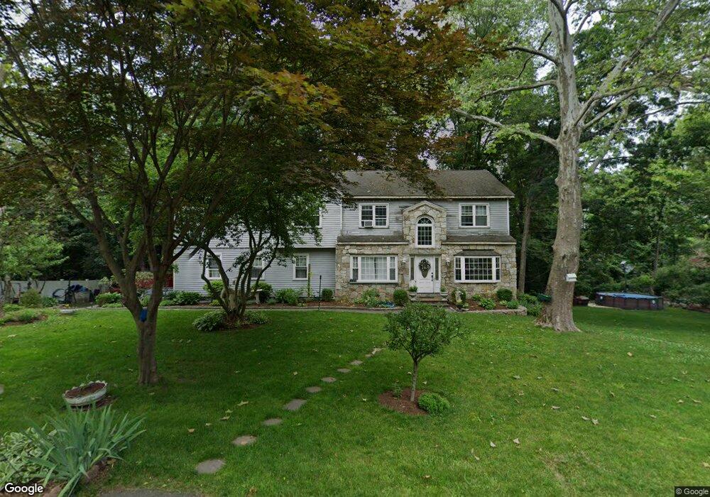
26 Noahs Lane Extension Norwalk, CT 06851
Woods Pond NeighborhoodEstimated Value: $839,000 - $1,152,000
5
Beds
5
Baths
3,119
Sq Ft
$312/Sq Ft
Est. Value
About This Home
This home is located at 26 Noahs Lane Extension, Norwalk, CT 06851 and is currently estimated at $973,779, approximately $312 per square foot. 26 Noahs Lane Extension is a home located in Fairfield County with nearby schools including Cranbury Elementary School, West Rocks Middle School, and Norwalk High School.
Ownership History
Date
Name
Owned For
Owner Type
Purchase Details
Closed on
Apr 26, 2002
Sold by
Pellegrino Sandra Est and Pellegrino
Bought by
Mendez Justiniano
Current Estimated Value
Home Financials for this Owner
Home Financials are based on the most recent Mortgage that was taken out on this home.
Original Mortgage
$273,460
Outstanding Balance
$116,446
Interest Rate
7.05%
Mortgage Type
Purchase Money Mortgage
Estimated Equity
$857,333
Create a Home Valuation Report for This Property
The Home Valuation Report is an in-depth analysis detailing your home's value as well as a comparison with similar homes in the area
Home Values in the Area
Average Home Value in this Area
Purchase History
| Date | Buyer | Sale Price | Title Company |
|---|---|---|---|
| Mendez Justiniano | $341,825 | -- | |
| Mendez Justiniano | $341,825 | -- |
Source: Public Records
Mortgage History
| Date | Status | Borrower | Loan Amount |
|---|---|---|---|
| Open | Mendez Justiniano | $273,460 | |
| Closed | Mendez Justiniano | $273,460 |
Source: Public Records
Tax History Compared to Growth
Tax History
| Year | Tax Paid | Tax Assessment Tax Assessment Total Assessment is a certain percentage of the fair market value that is determined by local assessors to be the total taxable value of land and additions on the property. | Land | Improvement |
|---|---|---|---|---|
| 2025 | $12,653 | $528,390 | $198,650 | $329,740 |
| 2024 | $12,465 | $528,390 | $198,650 | $329,740 |
| 2023 | $10,995 | $436,990 | $158,340 | $278,650 |
| 2022 | $10,790 | $436,990 | $158,340 | $278,650 |
| 2021 | $10,510 | $436,990 | $158,340 | $278,650 |
| 2020 | $10,504 | $436,990 | $158,340 | $278,650 |
| 2019 | $10,210 | $436,990 | $158,340 | $278,650 |
| 2018 | $10,567 | $396,340 | $170,650 | $225,690 |
| 2017 | $10,204 | $396,340 | $170,650 | $225,690 |
| 2016 | $10,184 | $399,380 | $170,650 | $228,730 |
| 2015 | $10,079 | $396,340 | $170,650 | $225,690 |
| 2014 | $9,948 | $396,340 | $170,650 | $225,690 |
Source: Public Records
Map
Nearby Homes
- 180 E Rocks Rd
- 2 Wildgoose Ln
- 8 Stonecrop Rd
- 4 Frank St
- 8 Caddy Rd
- 27 Stonecrop Rd
- 101 Chestnut Hill Rd
- 41 Mohawk Dr
- 9 Allen Ct
- 9 Trailside Dr
- 32 Thistle Rd
- 36 Donohue Dr
- 1 Blue Mountain Ridge
- 30 Honeysuckle Dr
- 71 Aiken St Unit J11
- 71 Aiken St Unit P12
- 442 Main Ave Unit A5
- 17 Linden St
- 4 Newtown Turnpike
- 7 Peaceful Ln
- 27 Noahs Lane Extension
- 24 Noahs Lane Extension
- 28 Noahs Lane Extension
- 67 Toilsome Ave
- 9 Sherman Place
- 25 Noahs Lane Extension
- 29 Noahs Lane Extension
- 22 Noahs Lane Extension
- 61 Toilsome Ave
- 7 Sherman Place
- 23 Noahs Lane Extension
- 21 Noahs Ln
- 14 Cricklewood Ln
- 59 1/2 Toilsome Ave
- 32 Noahs Lane Extension
- 69 Toilsome Ave
- 12 Cricklewood Ln
- 31 Noahs Lane Extension
- 8 Sherman Place
- 4 Noahs Ln