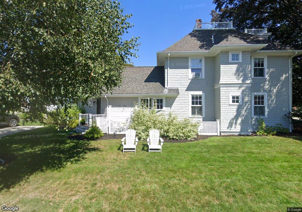
26 Ocean Ave Scituate, MA 02066
Estimated Value: $911,000 - $1,284,000
2
Beds
2
Baths
1,703
Sq Ft
$667/Sq Ft
Est. Value
About This Home
This home is located at 26 Ocean Ave, Scituate, MA 02066 and is currently estimated at $1,136,582, approximately $667 per square foot. 26 Ocean Ave is a home with nearby schools including Wampatuck Elementary School, Lester J. Gates Middle School, and Scituate High School.
Ownership History
Date
Name
Owned For
Owner Type
Purchase Details
Closed on
Dec 28, 2016
Sold by
Dominico Joseph J
Bought by
Cannata James A
Current Estimated Value
Purchase Details
Closed on
Apr 12, 2012
Sold by
Dominico Joseph J
Bought by
Dominico Joseph J
Purchase Details
Closed on
Jul 12, 2011
Sold by
Dominico Joseph J and Dominico Audrey C
Bought by
Dominico Joseph J
Purchase Details
Closed on
Jan 1, 1972
Bought by
Dominoco Joseph J and Dominico Joseph J
Create a Home Valuation Report for This Property
The Home Valuation Report is an in-depth analysis detailing your home's value as well as a comparison with similar homes in the area
Home Values in the Area
Average Home Value in this Area
Purchase History
| Date | Buyer | Sale Price | Title Company |
|---|---|---|---|
| Cannata James A | $540,000 | -- | |
| Dominico Joseph J | -- | -- | |
| Dominico Joseph J | -- | -- | |
| Dominico Joseph J | -- | -- | |
| Dominico Joseph J | -- | -- | |
| Dominoco Joseph J | -- | -- |
Source: Public Records
Mortgage History
| Date | Status | Borrower | Loan Amount |
|---|---|---|---|
| Previous Owner | Dominoco Joseph J | $30,000 |
Source: Public Records
Tax History
| Year | Tax Paid | Tax Assessment Tax Assessment Total Assessment is a certain percentage of the fair market value that is determined by local assessors to be the total taxable value of land and additions on the property. | Land | Improvement |
|---|---|---|---|---|
| 2025 | $10,096 | $1,010,600 | $722,400 | $288,200 |
| 2024 | $7,773 | $750,300 | $603,500 | $146,800 |
| 2023 | $7,053 | $654,100 | $516,300 | $137,800 |
| 2022 | $7,053 | $558,900 | $427,200 | $131,700 |
| 2021 | $6,977 | $523,400 | $406,900 | $116,500 |
| 2020 | $6,957 | $515,300 | $403,400 | $111,900 |
| 2019 | $7,446 | $541,900 | $431,500 | $110,400 |
| 2018 | $8,154 | $584,500 | $478,600 | $105,900 |
| 2017 | $8,236 | $584,500 | $478,600 | $105,900 |
| 2016 | $7,545 | $533,600 | $427,700 | $105,900 |
| 2015 | $6,990 | $533,600 | $427,700 | $105,900 |
Source: Public Records
Map
Nearby Homes
- 18A Mitchell Ave
- 6 Tilden Ave
- 430 Hatherly Rd
- 430 Hatherly Rd Unit Exhibit “A”
- 430 Hatherly Rd Unit Exhibit “B”
- 7 3 Ring Rd
- 26 Mordecai Lincoln Rd
- 70 Black Horse Ln
- 100 Howard Gleason Rd
- 96 Black Horse Ln
- 104 Howard Gleason Rd
- 68 Black Horse Ln
- 98 Black Horse Ln
- 629 Country Way
- 817 Country Way
- 124 Elm St Unit 308
- 701 Country Way
- 66 Summer St
- 59 Captain Peirce Rd
- 171 S Main St
Your Personal Tour Guide
Ask me questions while you tour the home.