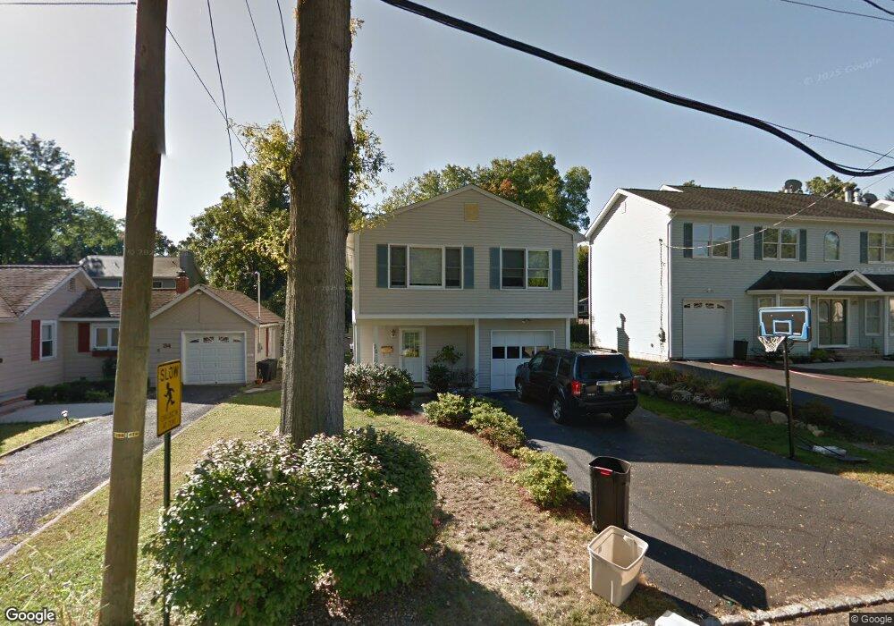
26 Orston Rd Parsippany, NJ 07054
Estimated Value: $603,333 - $720,000
--
Bed
--
Bath
1,940
Sq Ft
$343/Sq Ft
Est. Value
About This Home
This home is located at 26 Orston Rd, Parsippany, NJ 07054 and is currently estimated at $664,583, approximately $342 per square foot. 26 Orston Rd is a home located in Morris County with nearby schools including Lake Parsippany Elementary School, Brooklawn Middle School, and Parsippany Hills High School.
Ownership History
Date
Name
Owned For
Owner Type
Purchase Details
Closed on
Dec 17, 2001
Sold by
Harris Podvey
Bought by
Sharma Kamal and Manik Preeti
Current Estimated Value
Home Financials for this Owner
Home Financials are based on the most recent Mortgage that was taken out on this home.
Original Mortgage
$265,500
Outstanding Balance
$104,053
Interest Rate
6.61%
Estimated Equity
$560,530
Purchase Details
Closed on
Mar 12, 1997
Sold by
Georgian Homes Inc
Bought by
Podvey Harris P and Podvey Sharon R
Home Financials for this Owner
Home Financials are based on the most recent Mortgage that was taken out on this home.
Original Mortgage
$162,000
Interest Rate
7.68%
Create a Home Valuation Report for This Property
The Home Valuation Report is an in-depth analysis detailing your home's value as well as a comparison with similar homes in the area
Home Values in the Area
Average Home Value in this Area
Purchase History
| Date | Buyer | Sale Price | Title Company |
|---|---|---|---|
| Sharma Kamal | $295,000 | -- | |
| Podvey Harris P | $202,500 | -- |
Source: Public Records
Mortgage History
| Date | Status | Borrower | Loan Amount |
|---|---|---|---|
| Open | Sharma Kamal | $265,500 | |
| Previous Owner | Podvey Harris P | $162,000 |
Source: Public Records
Tax History Compared to Growth
Tax History
| Year | Tax Paid | Tax Assessment Tax Assessment Total Assessment is a certain percentage of the fair market value that is determined by local assessors to be the total taxable value of land and additions on the property. | Land | Improvement |
|---|---|---|---|---|
| 2025 | $9,949 | $287,300 | $123,000 | $164,300 |
| 2024 | $9,760 | $287,300 | $123,000 | $164,300 |
| 2023 | $9,760 | $287,300 | $123,000 | $164,300 |
| 2022 | $9,105 | $287,300 | $123,000 | $164,300 |
| 2021 | $9,105 | $287,300 | $123,000 | $164,300 |
| 2020 | $8,889 | $287,300 | $123,000 | $164,300 |
| 2019 | $8,651 | $287,300 | $123,000 | $164,300 |
| 2018 | $8,461 | $287,300 | $123,000 | $164,300 |
| 2017 | $8,271 | $287,300 | $123,000 | $164,300 |
| 2016 | $8,128 | $287,300 | $123,000 | $164,300 |
| 2015 | $7,912 | $287,300 | $123,000 | $164,300 |
| 2014 | $7,809 | $287,300 | $123,000 | $164,300 |
Source: Public Records
Map
Nearby Homes
- 86 Camden Rd
- 132 Camden Rd
- 206 Atlantic Dr
- 32 Hardwick Ct
- 240 Atlantic Dr
- 340 Marcella Rd
- 417 Allentown Rd
- 260 Everett Rd
- 52 Atlantic Dr
- 10 Buena Rd
- 125 Marmora Rd
- 158 Fieldcrest Rd
- 17 Springview Dr
- 1035 Littleton Rd
- 91 Farmingdale Dr
- 14 Willow Ln
- Rockefeller with Library Plan at Parq
- Rockefeller Plan at Parq
- 44 Willow Ln
- 49 Willow Ln