26 Owl Cove Rd Leicester, NC 28748
Estimated Value: $307,000 - $478,001
3
Beds
2
Baths
1,512
Sq Ft
$250/Sq Ft
Est. Value
About This Home
This home is located at 26 Owl Cove Rd, Leicester, NC 28748 and is currently estimated at $377,750, approximately $249 per square foot. 26 Owl Cove Rd is a home located in Buncombe County with nearby schools including Leicester Elementary School, Clyde A. Erwin High School, and Clyde A. Erwin Middle School.
Ownership History
Date
Name
Owned For
Owner Type
Purchase Details
Closed on
Nov 10, 2005
Sold by
Derrick Ricky S and Derrick Cathy H
Bought by
Mckay Karen L
Current Estimated Value
Home Financials for this Owner
Home Financials are based on the most recent Mortgage that was taken out on this home.
Original Mortgage
$17,500
Outstanding Balance
$246
Interest Rate
5.84%
Mortgage Type
Purchase Money Mortgage
Estimated Equity
$377,504
Create a Home Valuation Report for This Property
The Home Valuation Report is an in-depth analysis detailing your home's value as well as a comparison with similar homes in the area
Home Values in the Area
Average Home Value in this Area
Purchase History
| Date | Buyer | Sale Price | Title Company |
|---|---|---|---|
| Mckay Karen L | $175,000 | -- |
Source: Public Records
Mortgage History
| Date | Status | Borrower | Loan Amount |
|---|---|---|---|
| Open | Mckay Karen L | $17,500 | |
| Open | Mckay Karen L | $140,000 |
Source: Public Records
Tax History Compared to Growth
Tax History
| Year | Tax Paid | Tax Assessment Tax Assessment Total Assessment is a certain percentage of the fair market value that is determined by local assessors to be the total taxable value of land and additions on the property. | Land | Improvement |
|---|---|---|---|---|
| 2025 | -- | $222,000 | $65,700 | $156,300 |
| 2024 | -- | $222,000 | $80,700 | $141,300 |
| 2023 | $1,417 | $222,000 | $80,700 | $141,300 |
| 2022 | $1,395 | $222,000 | $0 | $0 |
| 2021 | $1,395 | $222,000 | $0 | $0 |
| 2020 | $1,230 | $183,800 | $0 | $0 |
| 2019 | $1,230 | $183,800 | $0 | $0 |
| 2018 | $1,230 | $183,800 | $0 | $0 |
| 2017 | $1,248 | $174,100 | $0 | $0 |
| 2016 | $1,295 | $174,100 | $0 | $0 |
| 2015 | $1,295 | $174,100 | $0 | $0 |
| 2014 | $1,243 | $174,100 | $0 | $0 |
Source: Public Records
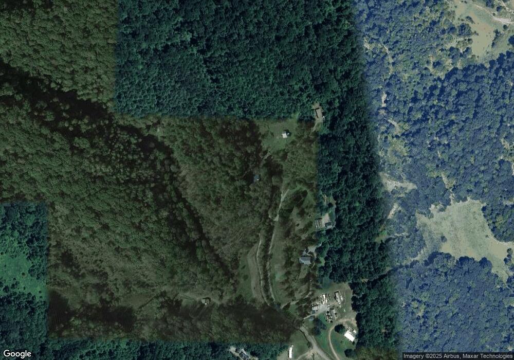
Map
Nearby Homes
- 111 Oak Mountain Dr
- 61 Brooks Branch Rd
- 36 Brooks Branch Rd
- 263 Morgan Branch Rd
- 00 Potato Branch Rd
- 51 Homefire Cove
- 315 Morgan Branch Rd
- 185 Blossom Ridge
- 19 Bakers Acres Ln
- 19 Mossy Rock Ln Unit 76
- 298 S Turkey Creek Rd
- 70 Stonegate Trail
- 25 View Ridge Pkwy
- 99999 Hidden Cove Rd
- 45 Bakers Acres Ln
- 132 Rabbit Ham Rd
- 171 View Ridge Pkwy
- 11 Farm Cove Ln
- 127 View Ridge Pkwy
- 99999 Green Valley Rd
- 25 Owl Cove Rd
- 35 Owl Cove Rd
- 7 Owl Cove Rd
- 181 Brooks Branch Rd
- 3 Dust Bowl Dr
- 182 Brooks Branch Rd
- 198 Brooks Branch Rd
- 210 Brooks Branch Rd
- 210 Brooks Branch Rd Unit Lot B
- 210 Brooks Branch Rd Unit Lot A
- 112 Bridges Cove Rd
- 125 Brooks Branch Rd
- 111 Bridges Cove Rd
- 109 Saddlebrook Ln
- 240 Pilgram Dr
- 98 Brooks Branch Rd
- 0 Pilgrim Dr Unit 3-B
- 331 Browntown Rd
- 241 Pilgram Dr
- 241 Pilgrim Dr